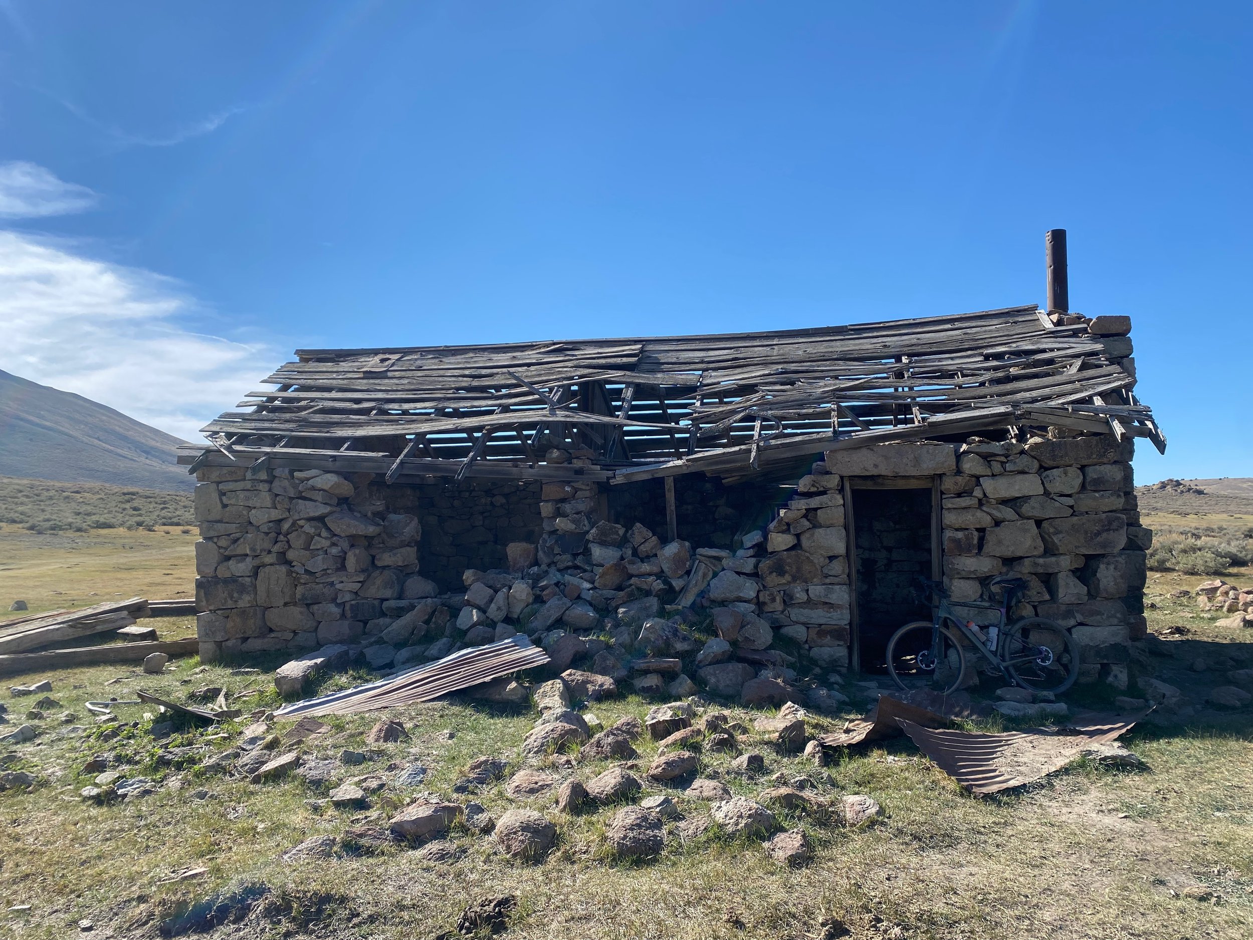
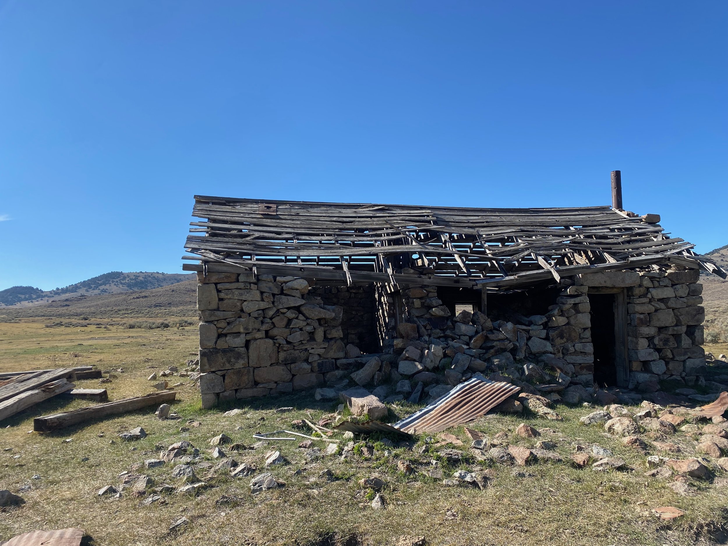
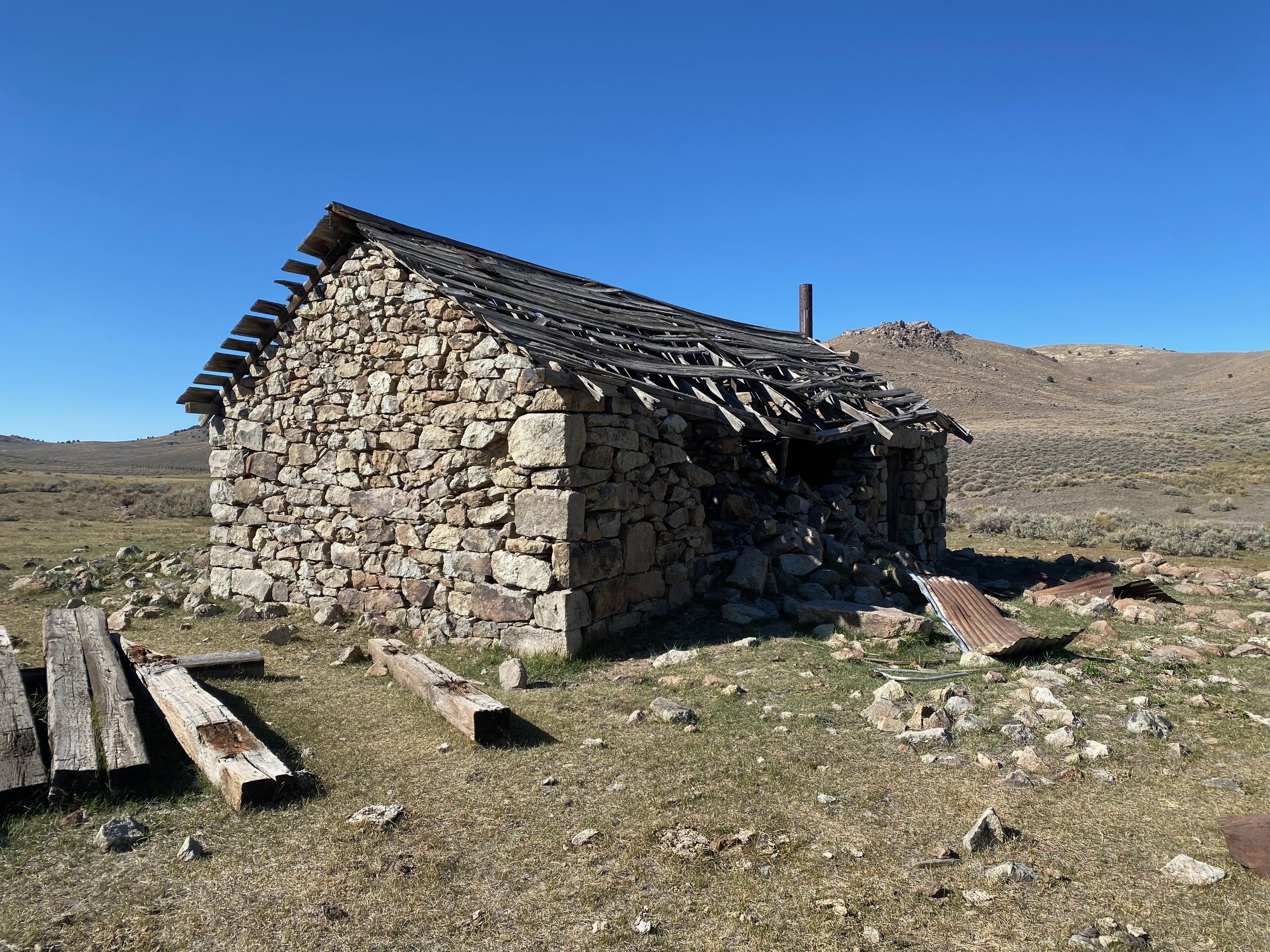
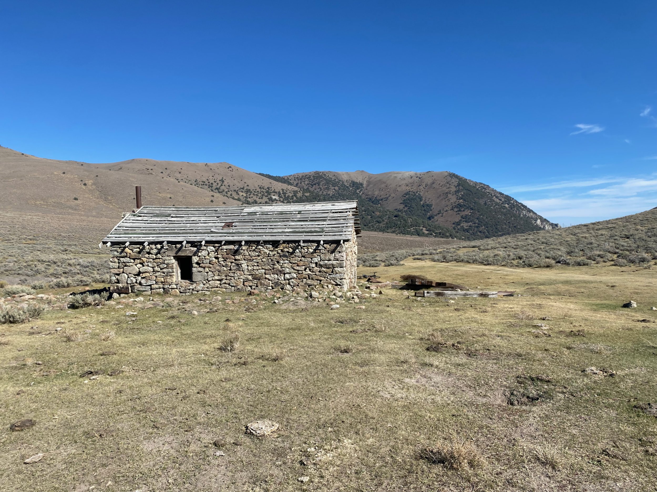
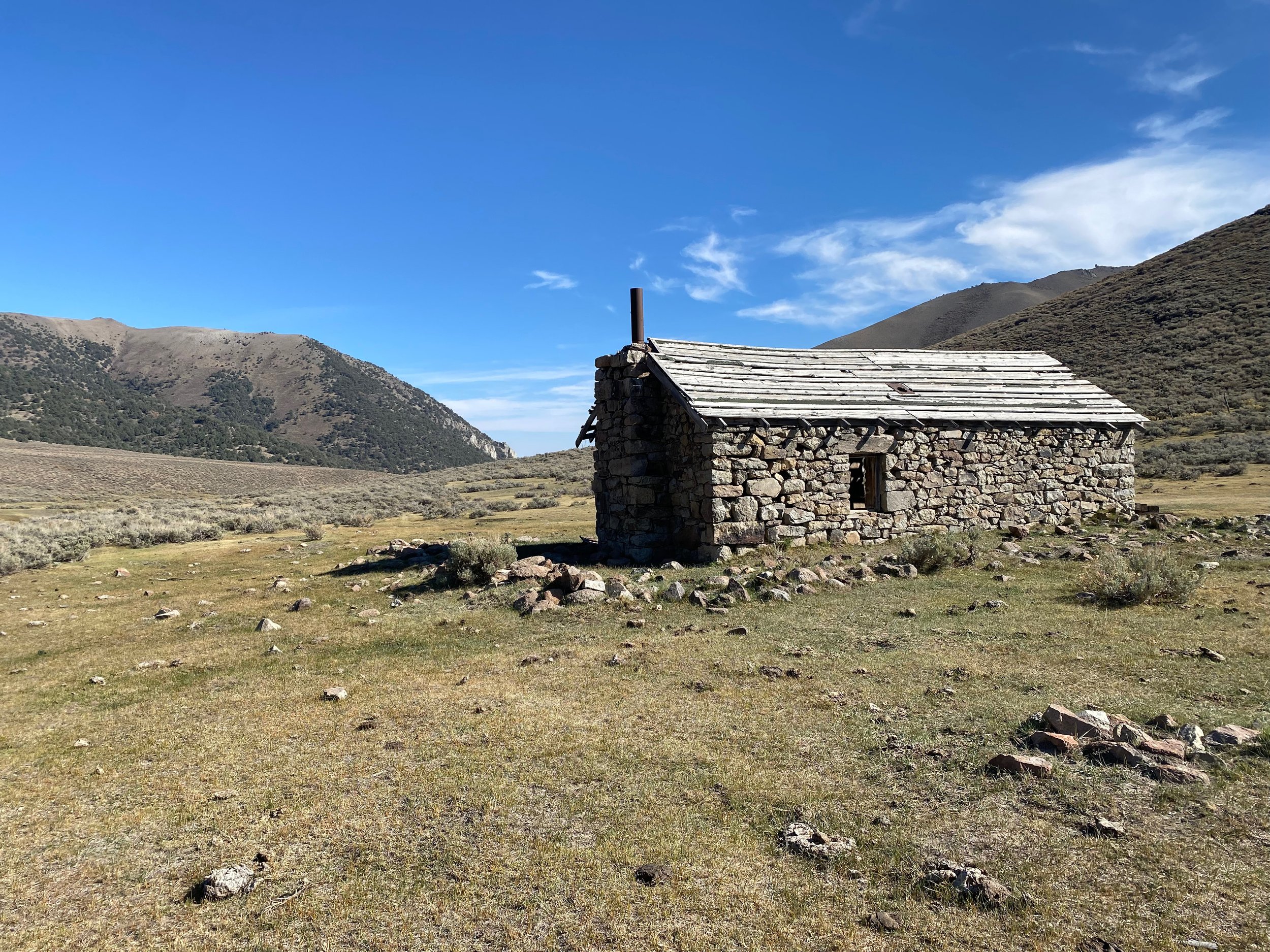
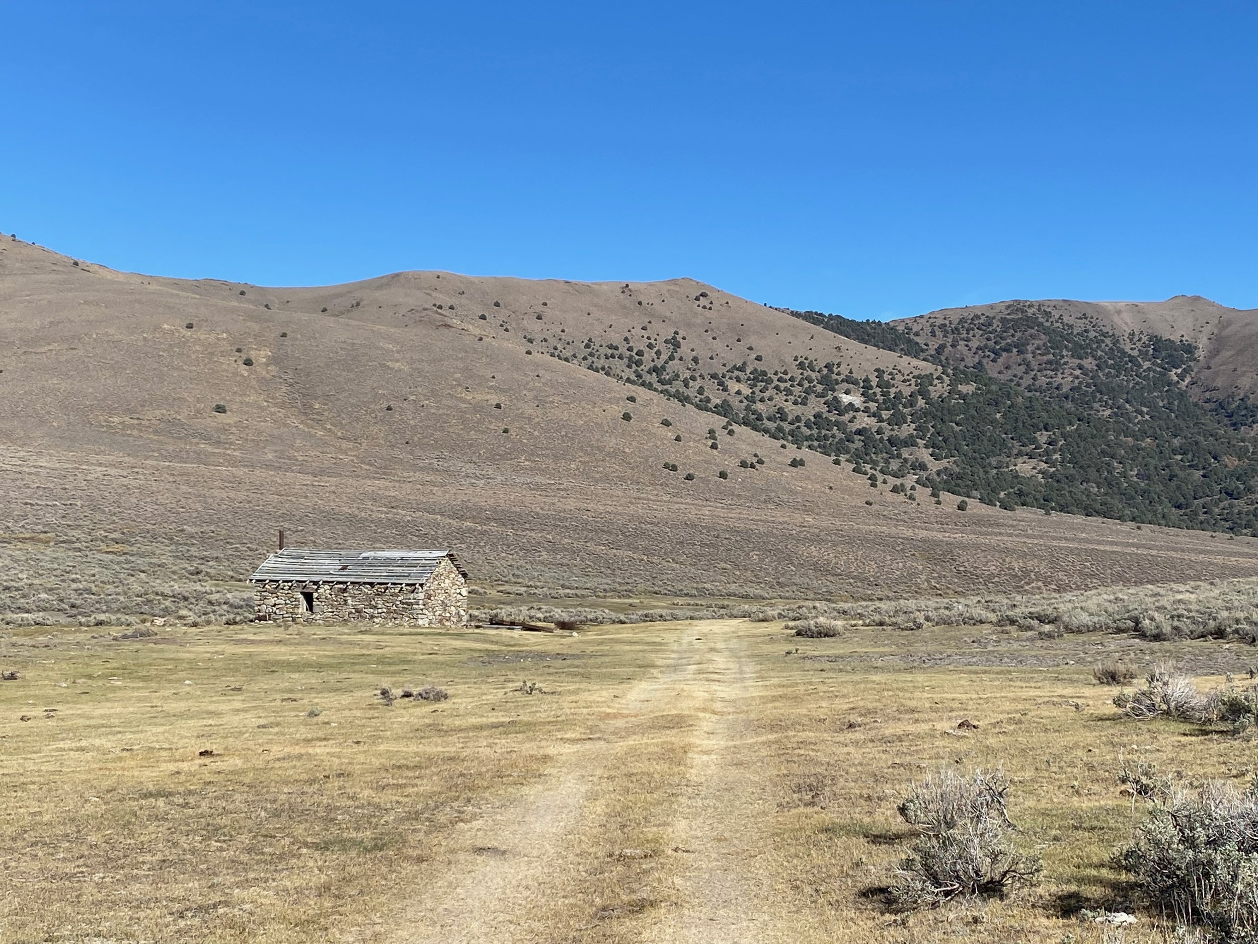
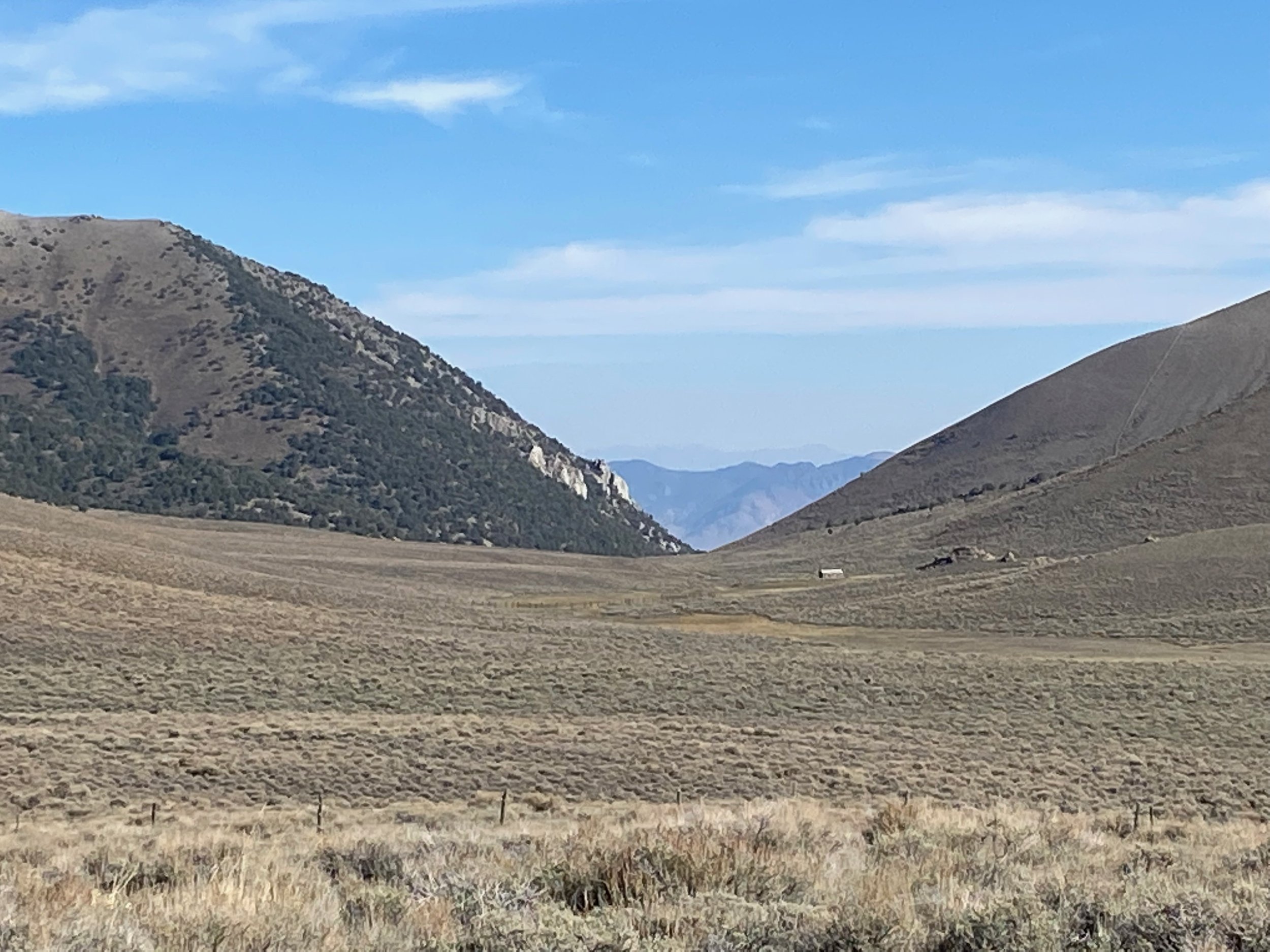
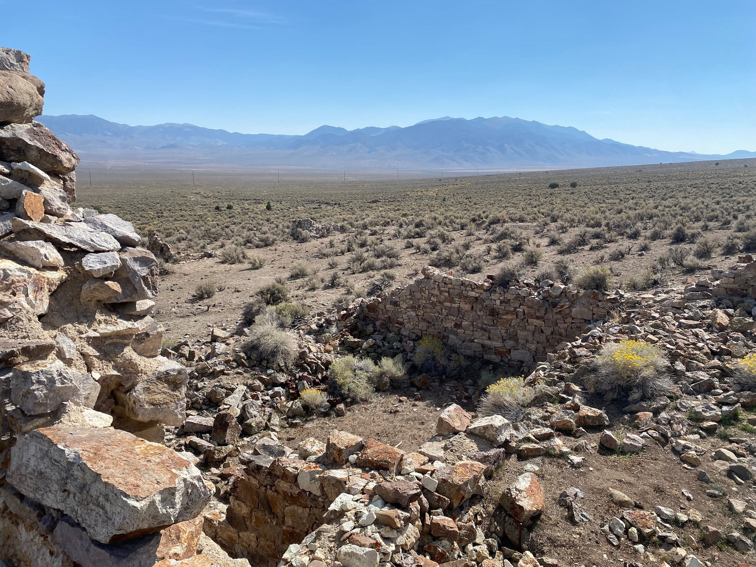
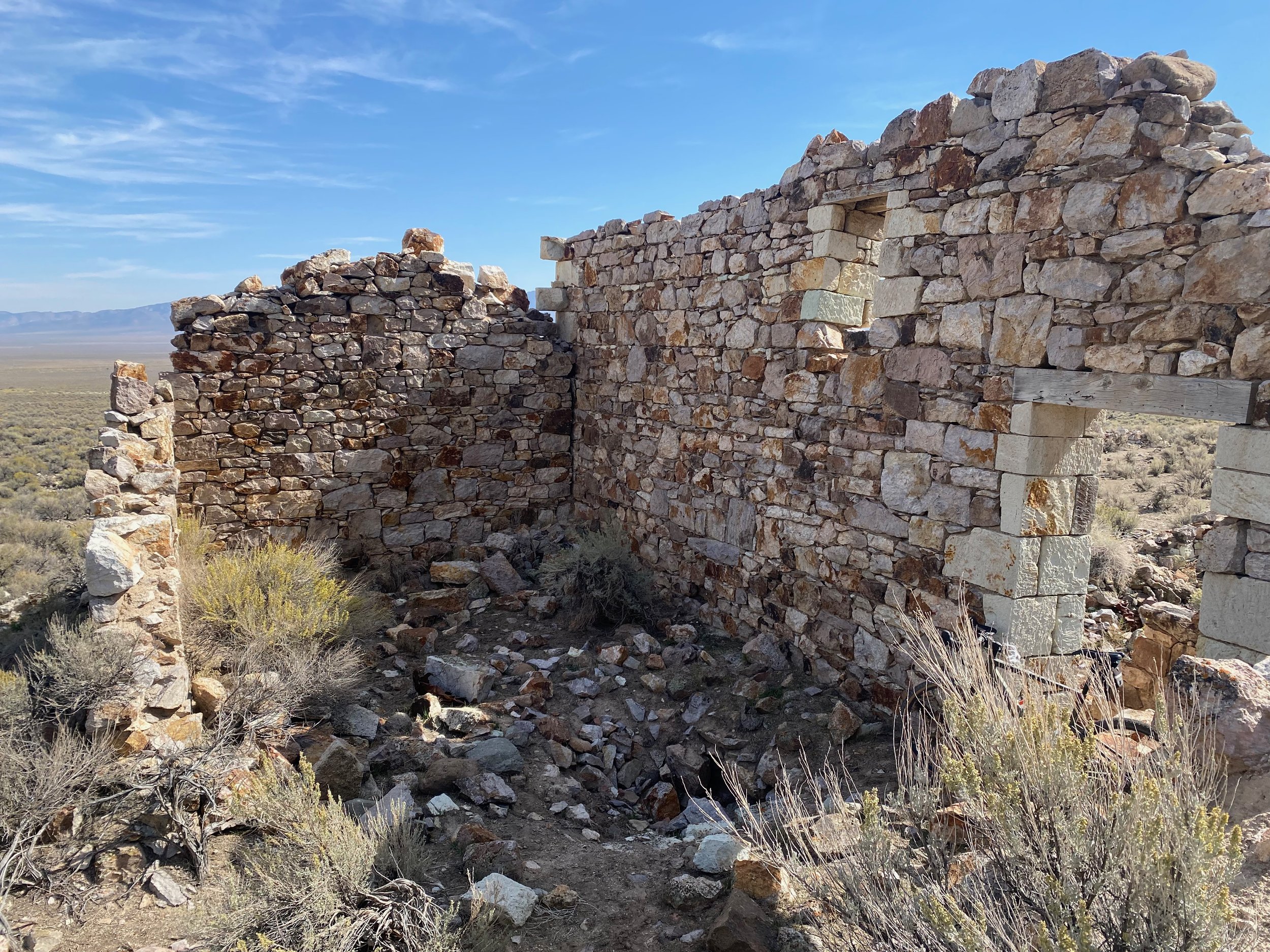
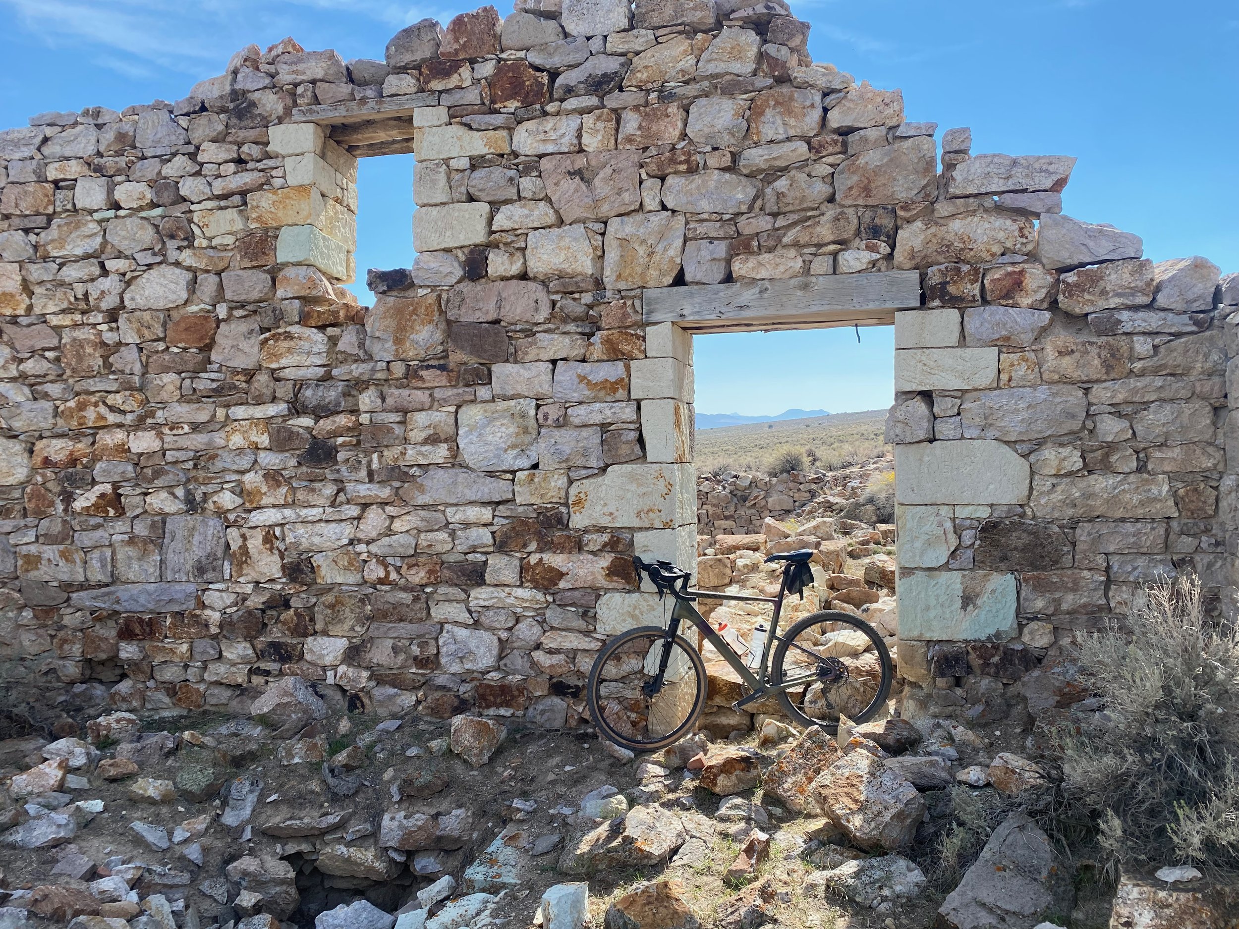
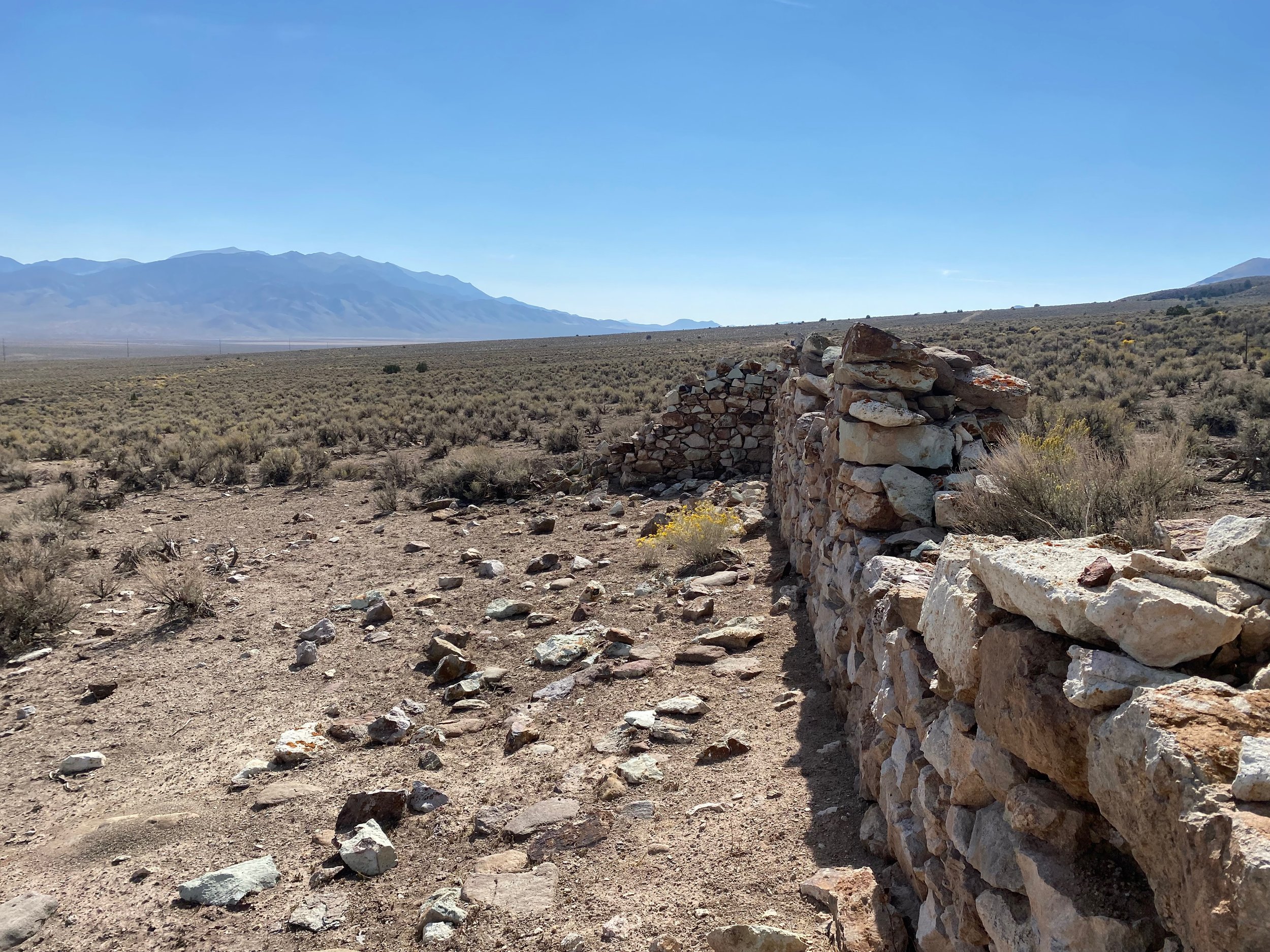
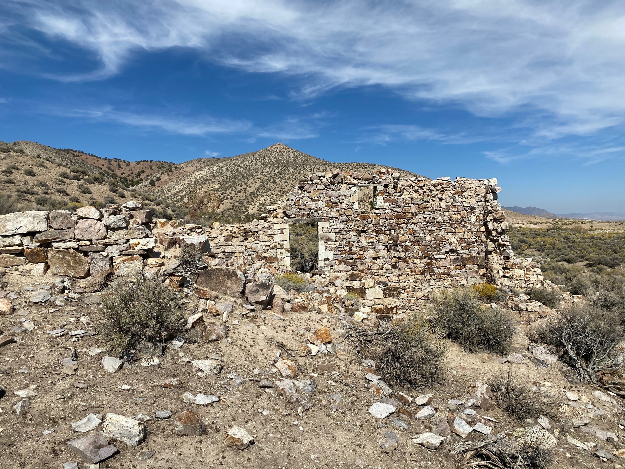
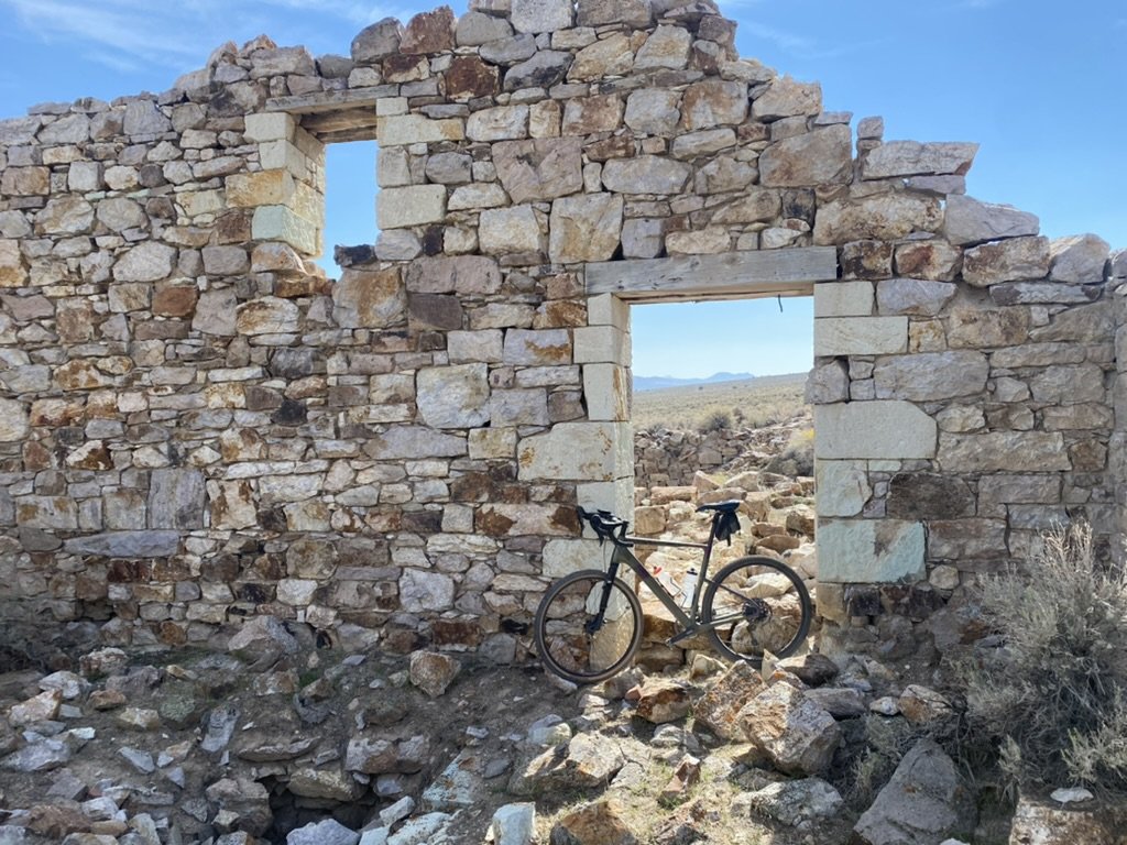
Abandoned cabin in the top of the Clan Alpine Mountain Range.
The Clan Alpine Mountains are a beautiful Mountain range 50 miles East of Fallon, Nevada just off Highway 50. The range sits East of the Naval Air Station Bombing Range in Dixie Valley, and west of Edwards Creek Valley. Mount Agusta is the tallest peak in the range topping out at 9679 ft. and is visible from this ride.
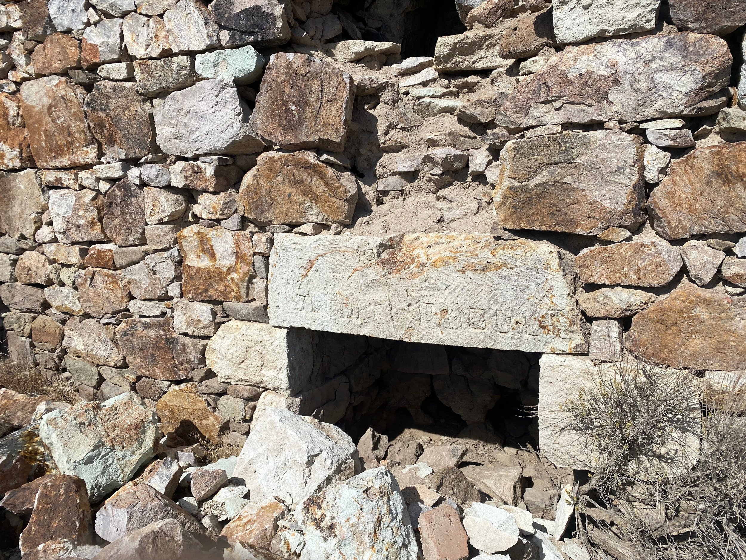
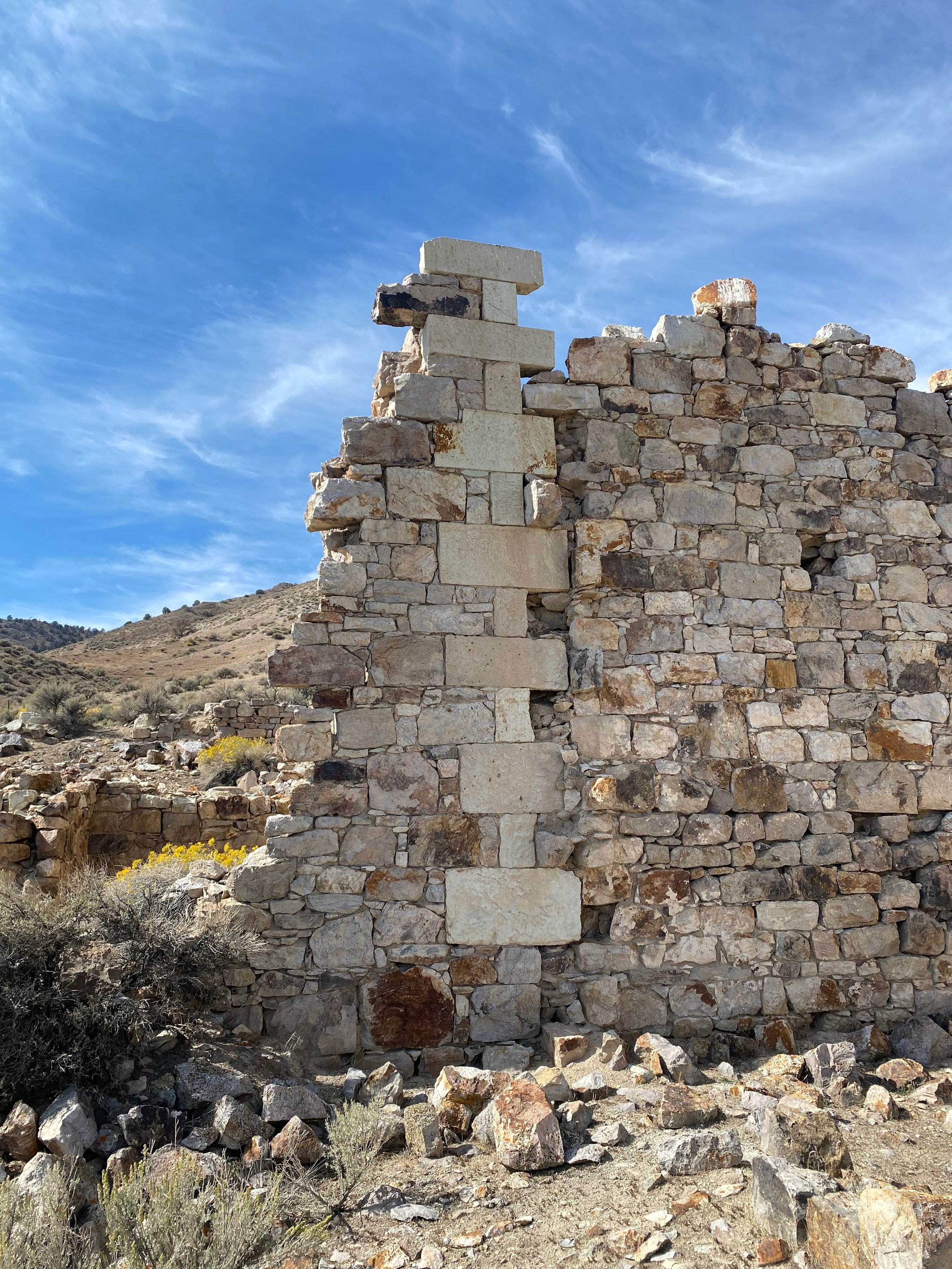
Beautiful stone work at the Clan Alpine Mining Camp.
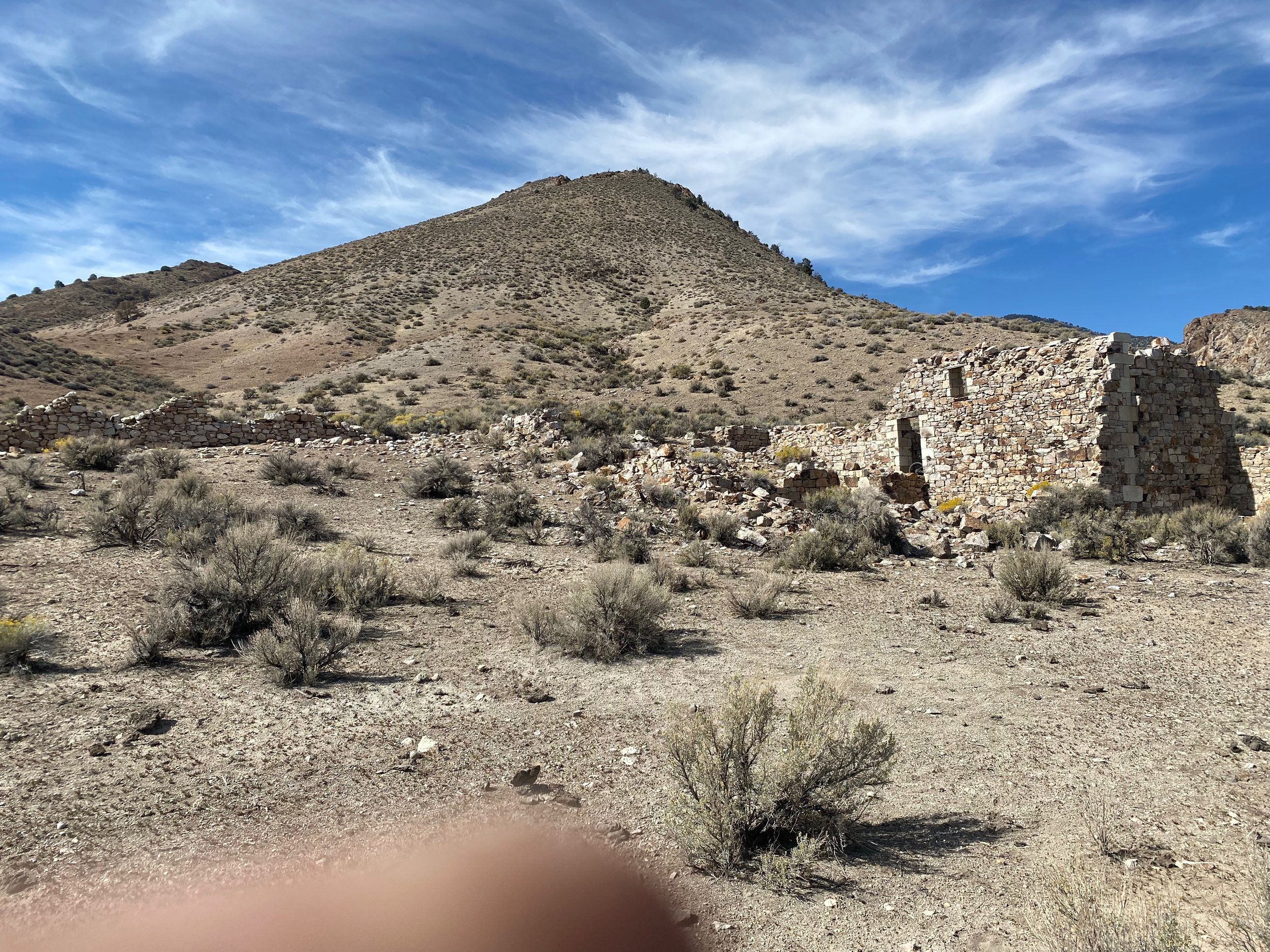
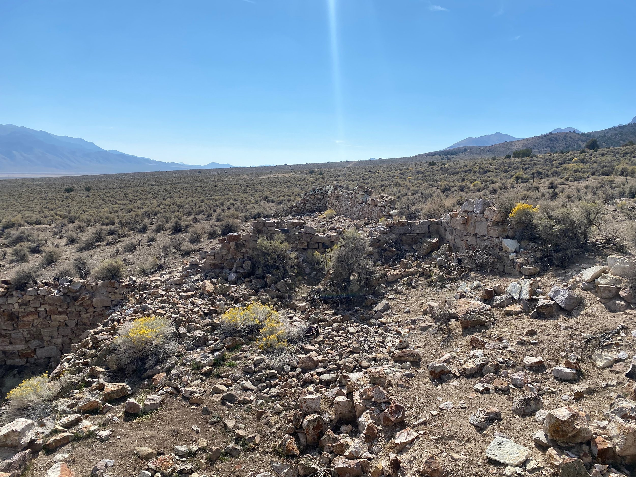
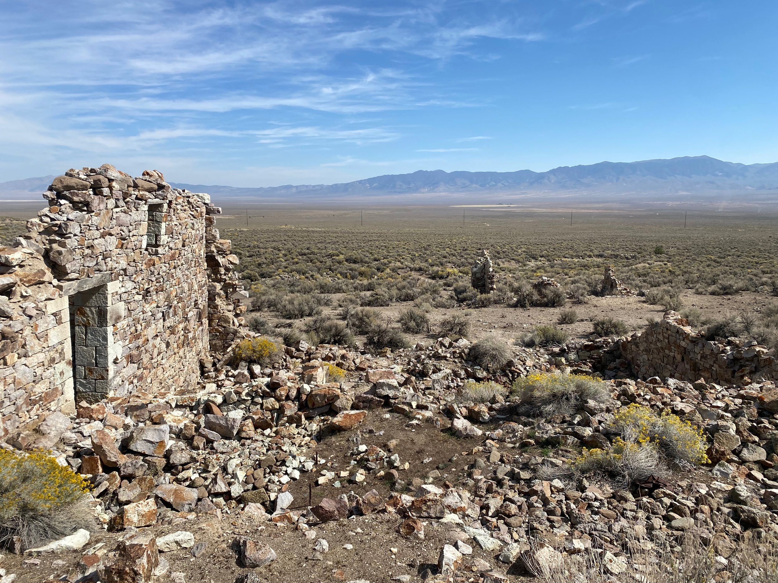
Remnants of the Clan Alpine Mining Camp
The Clan Alpine Mining camp is located on the Eastern Flank of the Clan Alpine Mountains at the base of Cherry Creek. It was founded in 1864 with surface deposits of quartz holding gold and silver. A 10 stamp mill was erected at the base of the canyon, and the mining began. The buildings were all carved out of the local rock, and show amazing stone mason skills. Although the buildings are in a state of dilapidation, many of the walls still exist, and the corner stones still exist in their beautiful glory. This mining camp proved to have little gold and quickly faded away. By 1914, the camp was mostly abandoned.
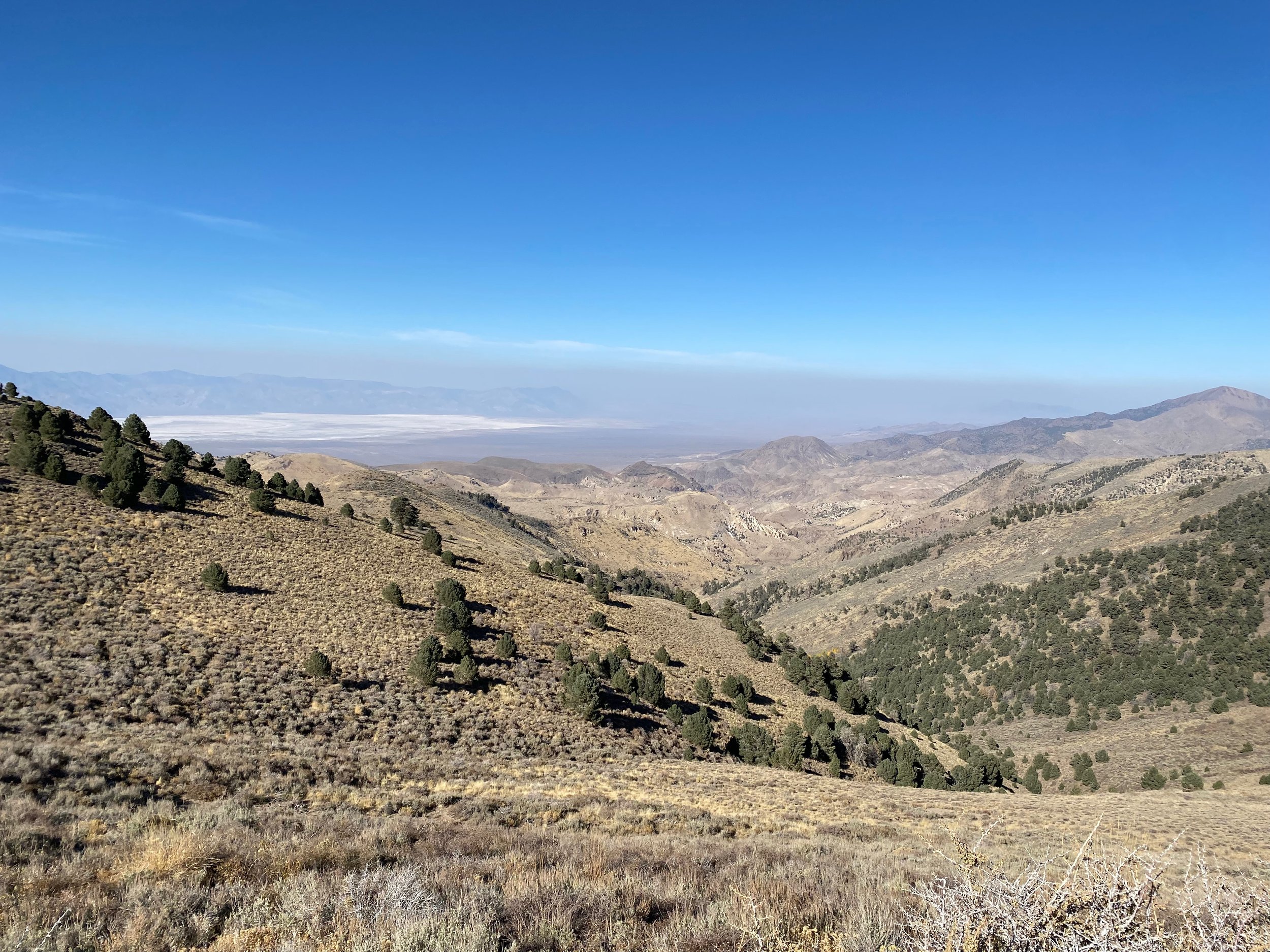
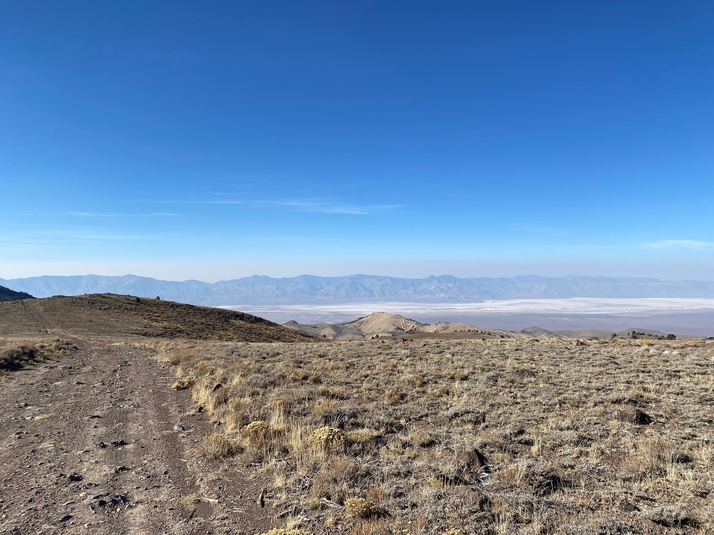
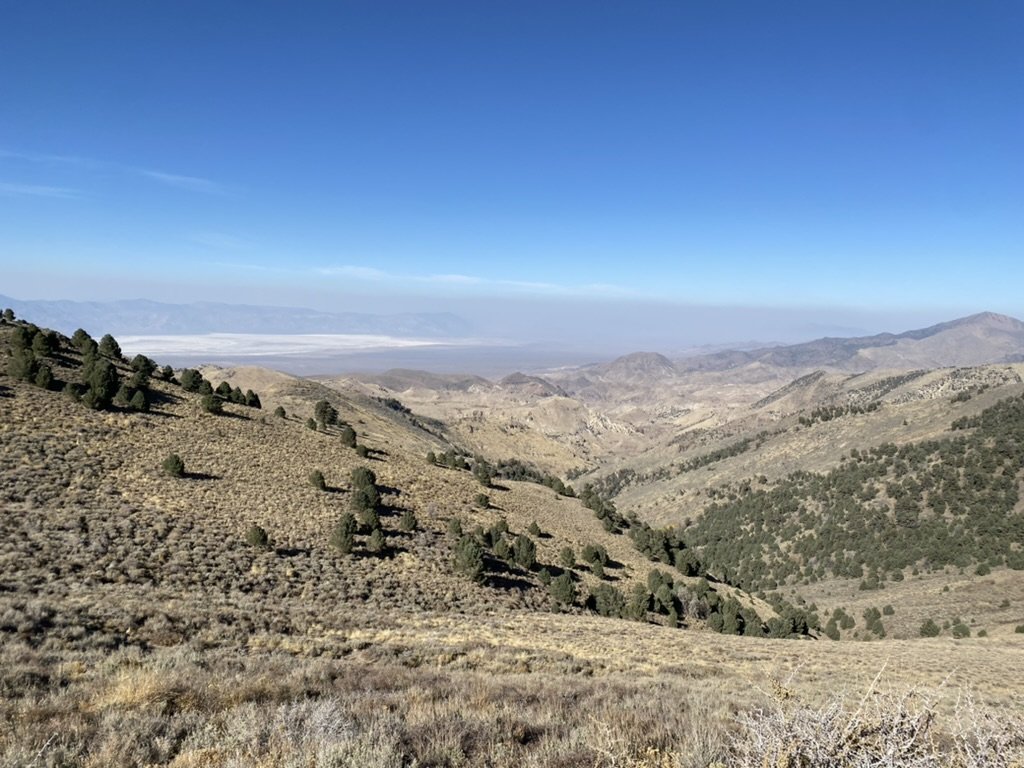
Dixie Valley visible in the smoke below.
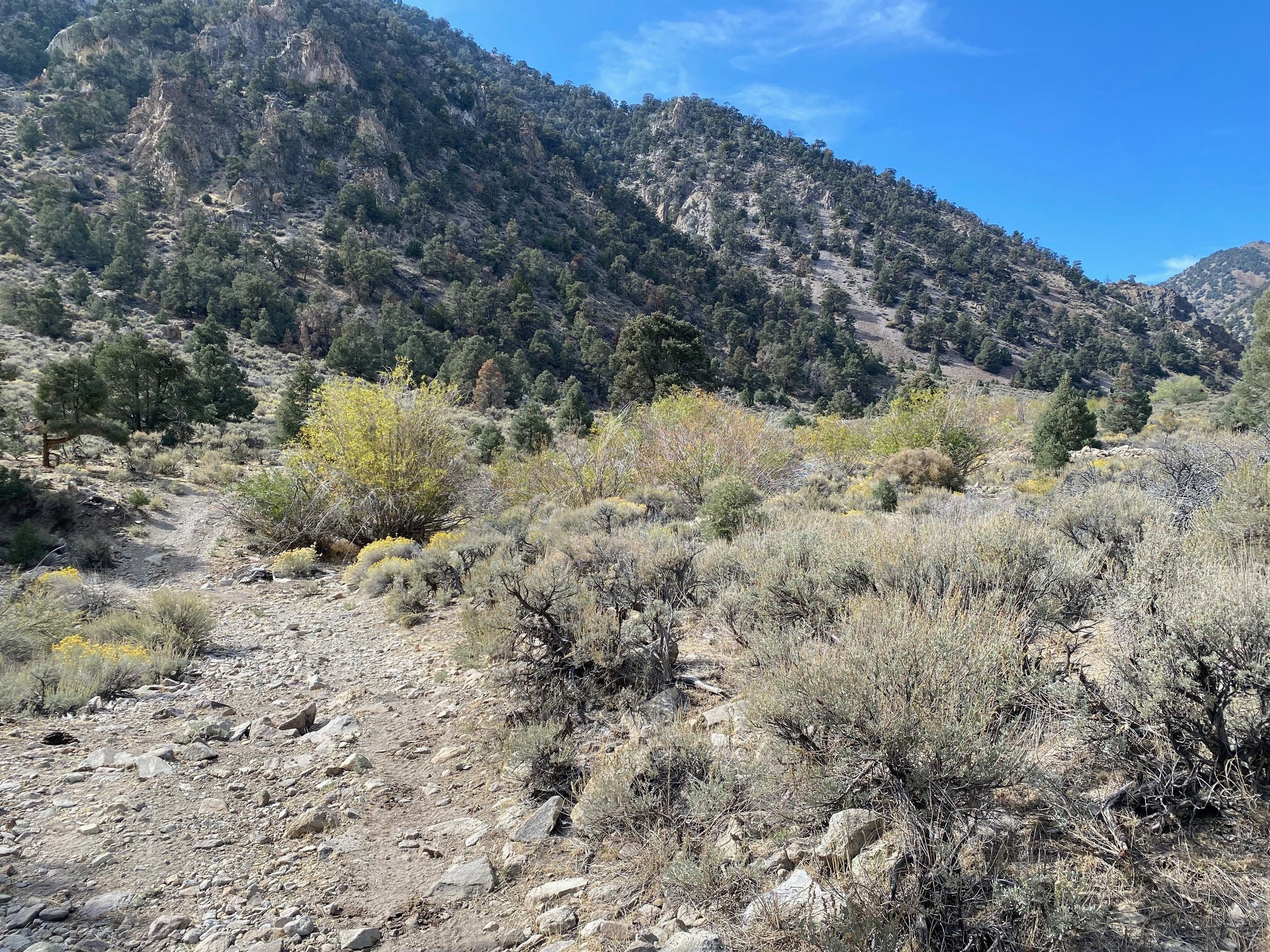
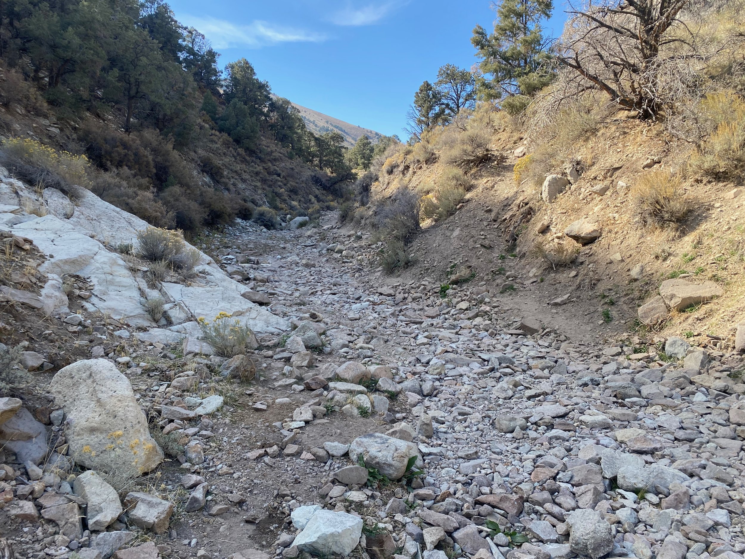
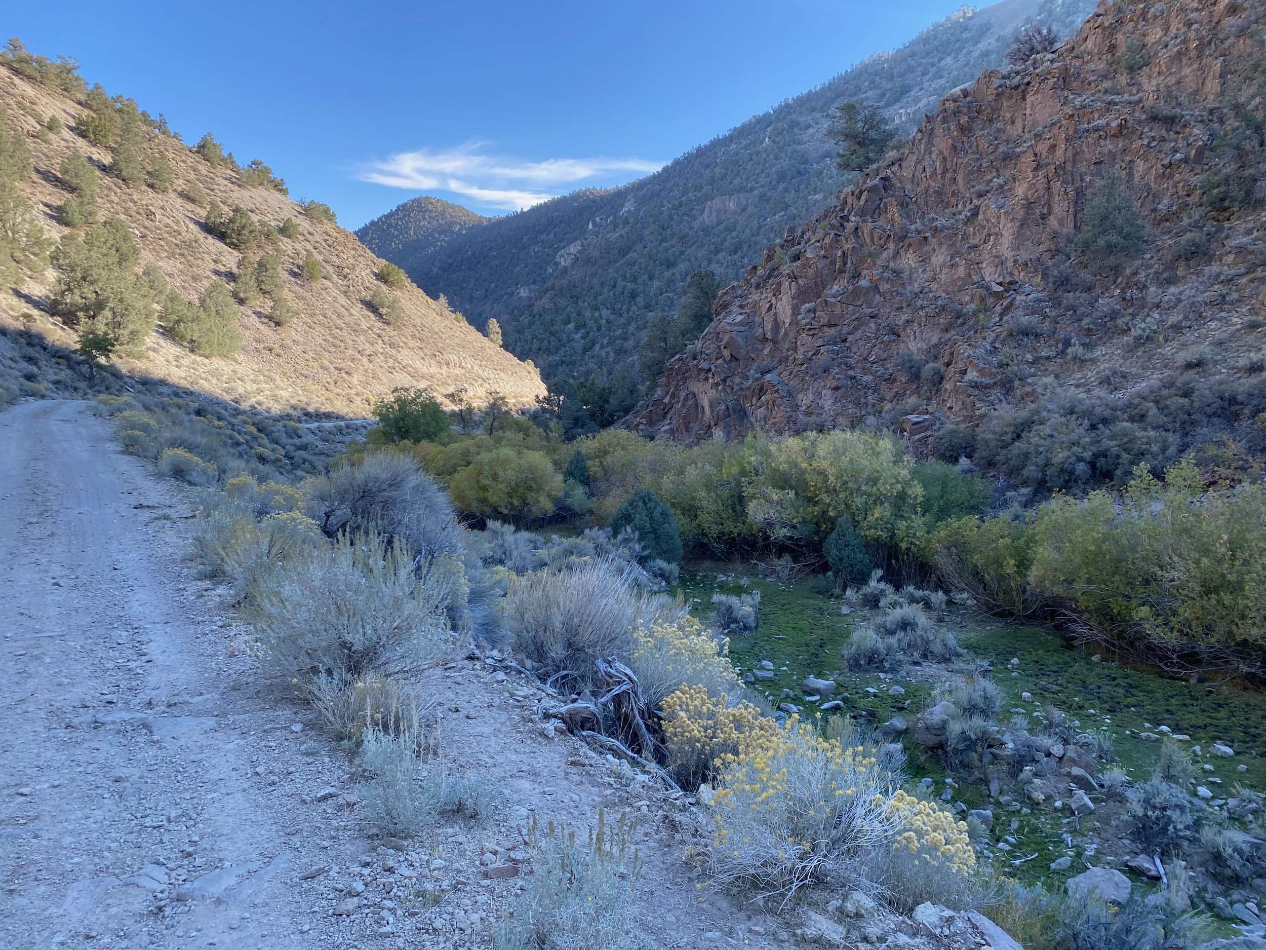
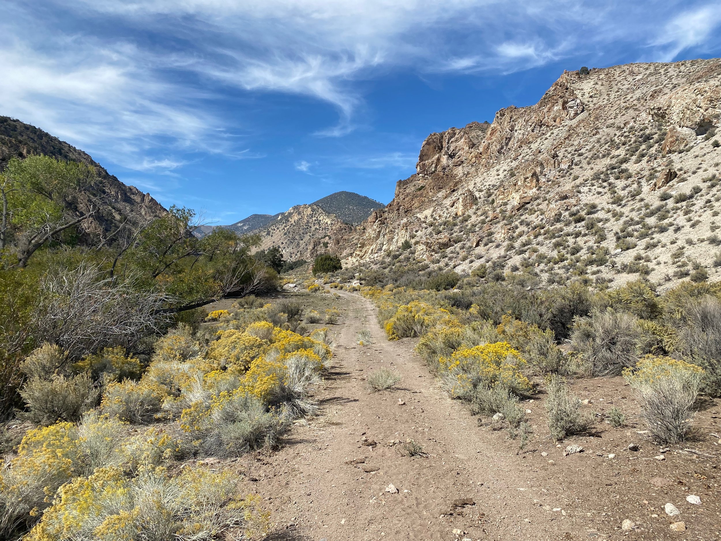
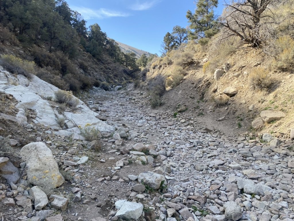
This ride starts just past the Historic, and privately owned Clan Alpine Ranch. You will drive right up to the ranch and park across the road in a clearing. This is the base of Cherry Creek. There are 2 ways to do this ride. You can do it clockwise, riding up to the Ruins of the Mining Camp, then up Cherry Creek. Be warned that the climb is rocky. It is beautiful, but it is super rocky in sections. You can also ride counterclockwise up War Canyon. This road is beautiful all the way to the abandoned cabin. You have to cross over the ridge, so more climbing to the cabin compared to going up Cherry Creek. For this write up, it is probably best done on a mountain bike due to the rocky climb. So, head due west up cherry creek. You will see a house on the right side of the road, and directly South of the house and road, you will see the old ruins of Clan Alpine Mining Camp. There is a rough road that heads over to the camp, and it is fun to look around at the beautiful Mason work. Head back to the main road, and don’t be tempted to take the earlier road to the left. It stays on the wrong side of the creek, then dead ends and you have to scramble up to the road. Not a big deal, but watch for cows. Continue up the only road up the canyon, as the rock formations start to tower out of nowhere. From the car, you will climb 6 miles up to Cherry Meadow, and as soon as you open up into the meadow you will see the old stone building. Again, the stone masonry is beautiful. All carved from local rock. This cabin was build to last. The wood is crumbling, but the rock walls are solid. I could not find any information about this cabin sitting at 7400 ft. I can’t imagine someone trying to carve a life year long up here due to snow loads. Maybe just a summer cabin for cattle herding? But this cabin was built to last the winters.
Part of the rocky climb up to the cabin.
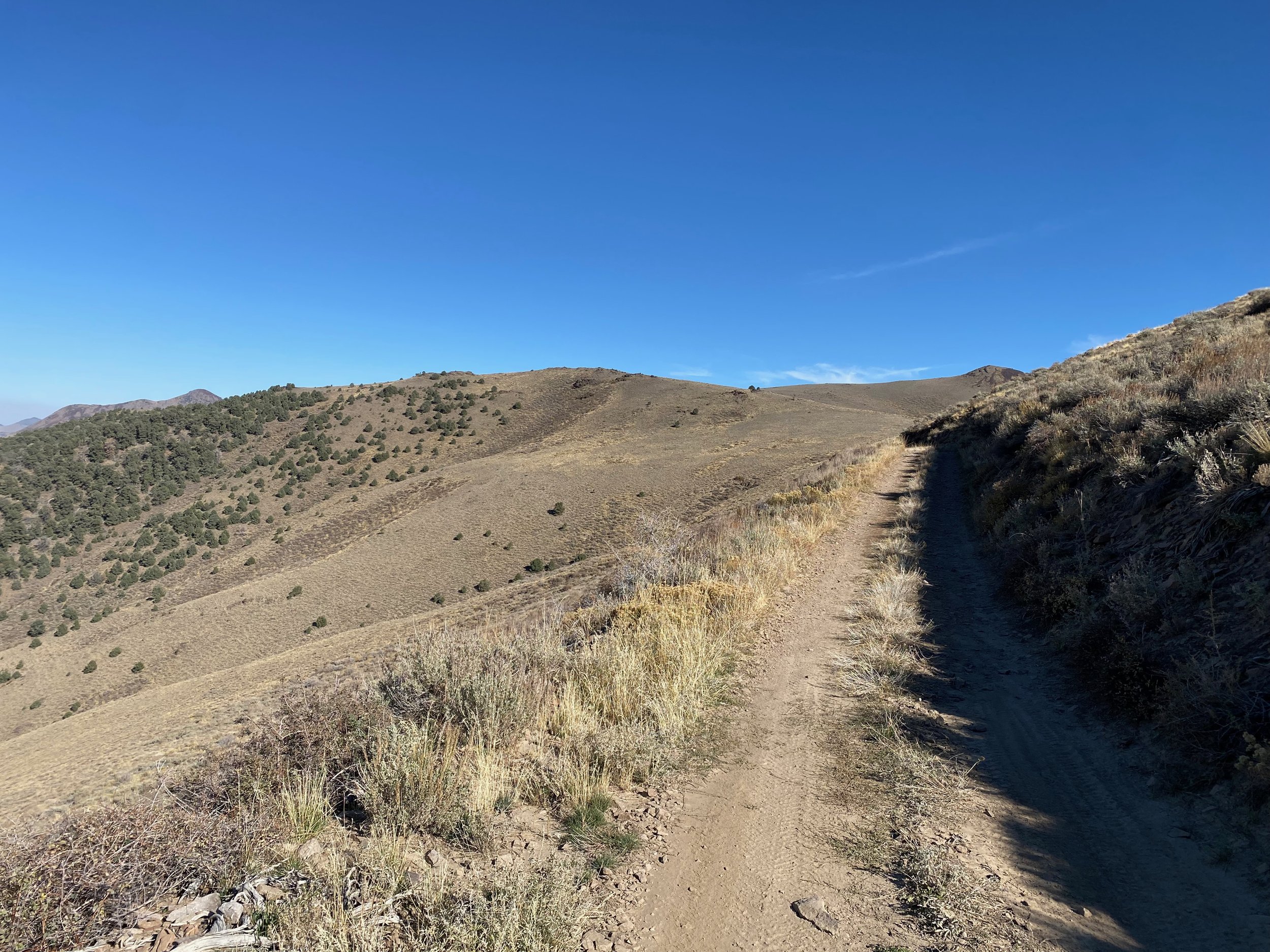
From the cabin you have a couple options. You can return the way you came, down through the rocks, or continue west to the far end of the meadow, then the road loops around the meadow heading North, then back to the east and climbs to the ridge. The views from the ridge are amazing with Dixie Valley to the West, and Edwards Valley to the East. From here, the road is mostly smooth all the way back to the car.
For those of you that use Strava, here is the link
