Clan Alpine Mining Camp - Clan Alpine Mountain Range - Abandoned Cabin

Abandoned cabin in the top of the Clan Alpine Mountain Range.

The Clan Alpine Mountains are a beautiful Mountain range 50 miles East of Fallon, Nevada just off Highway 50. The range sits East of the Naval Air Station Bombing Range in Dixie Valley, and west of Edwards Creek Valley. Mount Agusta is the tallest peak in the range topping out at 9679 ft. and is visible from this ride.

Beautiful stone work at the Clan Alpine Mining Camp.

Remnants of the Clan Alpine Mining Camp

The Clan Alpine Mining camp is located on the Eastern Flank of the Clan Alpine Mountains at the base of Cherry Creek. It was founded in 1864 with surface deposits of quartz holding gold and silver. A 10 stamp mill was erected at the base of the canyon, and the mining began. The buildings were all carved out of the local rock, and show amazing stone mason skills. Although the buildings are in a state of dilapidation, many of the walls still exist, and the corner stones still exist in their beautiful glory. This mining camp proved to have little gold and quickly faded away. By 1914, the camp was mostly abandoned.

Dixie Valley visible in the smoke below.

This ride starts just past the Historic, and privately owned Clan Alpine Ranch. You will drive right up to the ranch and park across the road in a clearing. This is the base of Cherry Creek. There are 2 ways to do this ride. You can do it clockwise, riding up to the Ruins of the Mining Camp, then up Cherry Creek. Be warned that the climb is rocky. It is beautiful, but it is super rocky in sections. You can also ride counterclockwise up War Canyon. This road is beautiful all the way to the abandoned cabin. You have to cross over the ridge, so more climbing to the cabin compared to going up Cherry Creek. For this write up, it is probably best done on a mountain bike due to the rocky climb. So, head due west up cherry creek. You will see a house on the right side of the road, and directly South of the house and road, you will see the old ruins of Clan Alpine Mining Camp. There is a rough road that heads over to the camp, and it is fun to look around at the beautiful Mason work. Head back to the main road, and don’t be tempted to take the earlier road to the left. It stays on the wrong side of the creek, then dead ends and you have to scramble up to the road. Not a big deal, but watch for cows. Continue up the only road up the canyon, as the rock formations start to tower out of nowhere. From the car, you will climb 6 miles up to Cherry Meadow, and as soon as you open up into the meadow you will see the old stone building. Again, the stone masonry is beautiful. All carved from local rock. This cabin was build to last. The wood is crumbling, but the rock walls are solid. I could not find any information about this cabin sitting at 7400 ft. I can’t imagine someone trying to carve a life year long up here due to snow loads. Maybe just a summer cabin for cattle herding? But this cabin was built to last the winters.

Part of the rocky climb up to the cabin.

From the cabin you have a couple options. You can return the way you came, down through the rocks, or continue west to the far end of the meadow, then the road loops around the meadow heading North, then back to the east and climbs to the ridge. The views from the ridge are amazing with Dixie Valley to the West, and Edwards Valley to the East. From here, the road is mostly smooth all the way back to the car.

For those of you that use Strava, here is the link

Sierra Front Trail - Ballardini Ranch to Thomas Creek Parking Area

Looking North at Downtown Reno from the Sierra Front Trail

The rocky start

The Sierra Front Trail is a newer trail to the Reno area. It was finished mid August 2022. This trail links Ballardini Ranch to the Thomas Creek Parking Area. It is 6.6 miles one way, and from Ballardini Ranch, has 1150 ft of climbing. The fun part is that it has 1150 feet of descending on the way back. The first 0.7 miles of this ride is super rocky, then the singletrack smooths out with only a couple short rocky sections. But because of the rocky 0.7 miles, and the climbing, I would rate this ride as a strong intermediate to advanced ride.

Sierra Front Trail looking South

From Reno, take Virginia St. to West Huffaker Lane. Head West on Huffaker, and turn Left on Lakeside Dr. Take a right on Lone Tree Lane, and follow it to the Ballardini Ranch parking area. As you come into the parking area, you will see a trailhead on the right that just loops around to the main trail above. Head into the parking area, park and grab your ride. Head west towards the bathrooms, and you will see the trail on the right side of the bathrooms. Follow this trail up the rocky hillside and the trail will veer right, then back North. Right away you will come to a 3 way intersection. Turning right will take you back to the bottom of the parking lot. Strait will take you up a rocky road and around the hill on your left and re-intersect with the trail that heads off on your left. So, avoid the hill and rocks and turn left heading West. In 0.7 miles, you will intersect the other trail coming in on your right side, on your left you will see the Sierra Front Trail switchbacking up the hillside. Take a slight left, and you are now on the Sierra Front Trail. From here, it is impossible to get lost. There are no intersections of roads or other trails. This trail climbs for just under 6 miles up to a dirt road (Timberline Rd.). The trail crosses the dirt road to the other side, winds around and pops you out on this road again. From here, you can see the Thomas Creek Parking Area on ahead on your left side. At this point, you can take the downhill back to Balardini Ranch where you started, or you can ride up Thomas Creek Singletrack to Mt. Rose Wilderness, do the Dry Pond Loop, or any of the other Galena Area trails.

Below are the RideWithGPS and Strava links.

Sierra Front Trail heading up the canyon

Talapoosa Radio Towers Climb - Silver Springs, Nv.

Smoke from the Caldor Fire of 2021. Looking South.

Looking back at what you climb up.

Smoke from the Dixie Fire of 2021 looking North.

A couple years ago I did this climb and hated it. The road was horribly rocky, loose and steep. Recently, someone put in a new radio tower past where the old road used to stop. The road to this last tower is gated and posted “No Trespassing,” but they graded the road from the bottom, all the way to the new tower. This is now a smooth climb all the way to the final gate with stunning 360 deg views. On a clear day, you can see Pyramid Lake to the North, and forever to the South, East and the Sierra to the West. If you like to climb, and you like open desert views, this is your ride. This ride is best done in spring or fall, or even winter if there is no snow. It gets super sandy at the base during the summer, and gets super hot. I rode this ride in the late summer of 2021. We had 2 huge California Wildfires raging at the same time. One to our North, the Dixie Fire, and one to the South, the Caldor Fire. The day I rode this ride, winds were due east, and Reno sat right between the plumes of smoke with just a clearing to bag the ride. You can see the smoke in the pictures below.

From Reno, Take I-80 East to American Parkway. Take a right and follow American Parkway South to the Round About at Hwy 50. Follow the round about to head East towards Silver Springs. In 1/2 mile, turn left on Ruby Avenue, and this is your start. Park here, and start riding. Head North on Ruby Ave, and you will encounter a couple sandy short sections but no big deal. In 2.6 miles from the car, you will be past all the houses, and entering the canyon. In the middle of the summer, this canyon can get super hot with little air flow through it. This is why it is best to do the ride early or late, but not in the middle of the day during the summer. Continue up the canyon, and you will pass an old abandoned mine site and continue climbing. In 4.8 miles from the car you will hit an intersection. Stay left. The right road drops down a steep, loose, and rocky road and drops you out on Alt 95 to Fernley. So, stay left and you will move out of the canyon into open space. There are a couple side roads on your way up to the towers, but the main graded road is clear. Continue climbing West, and in 8 miles from the car you will be at your first collection of Radio Towers. If you are a rock hound, there is a ton of agate in the hillside all around these towers. At this point, you can decide that you have had enough climbing, take a look around, and head back. If you still want more, continue past the towers heading west. There will be a short downhill, then back to climbing to the second set of towers. At 9.6 miles from the car, you will be at the second set of towers. Just past these towers, you will run into the “No Trespassing” sign, and you can see the road drop downhill, then back up to the last tower. Honoring the “No Trespassing” sign, prop your bike up against one of the Juniper Trees and hike around and take in the stunning 360 deg views. When you are done, retrace your steps back to the car.

WHEN ACCESSING THE RIDE WITH GPS LINK BELOW, THERE IS A DROP DOWN MENU ON THE UPPER RIGHT OF THE MAP. THIS DROP DOWN MENU ALLOWS YOU TO CHANGE THE KIND OF MAP YOU ARE LOOKING AT, FROM A GOOGLE SATELLITE MAP TO A USGS TOPO MAP, AND ANY OTHER MAP IN BETWEEN. IF YOU WOULD LIKE THE GPS FILE FOR YOUR GARMIN, FEEL FREE TO E-MAIL OR CALL THE SHOP.

Pond Peak - Palomino Valley - Pyramid Highway

View from Pond Peak looking North-West. The road below is the road you ascend.

“We Deliver” Truck at the base of Wilcox Ranch

Pond Peak is a Gravel Ride (It is quite a climb, and Mountain Bike Gearing might be a better option) North of Reno/Sparks in the back of Warm Springs Valley. I have always known this valley to be called Palomino Valley. The ride is up Wilcox Canyon, past Wilcox Ranch, and up to the top of the Pah Rah Range. There is a radio tower on Pond Peak that overlooks everything with a 365 deg. view. This is a 16 mile ride, with 2981 ft of climbing. Remember that elevation gain is in 8 miles as this is an out and back.

From Reno, take I-80 East towards Sparks. Take the Sparks Blvd (Pyramid Highway) heading North. Follow Pyramid Highway 18.5 miles from I-80, and take a right on Iron Wood Dr. This is right before the National Wild Horse and Burro Center at Palomino Valley. Follow Iron Wood Dr. for 5 miles as it zig zags across the valley. Take a right on Amy Rd, and follow Amy Rd for .4 miles and turn left on Wilcox Ranch Road. 5.3 miles, and this is where I parked in a clearing on the right side of the road at Basque Oven Road. Be careful, there are a couple side roads that can take you to the wrong location, and street signs in the area tend to be more of a option. Here is the Google Maps GPS point for the start. You can send it to your phone and have Maps take you there. Once parked at the intersection of Basque Oven Road and Wilcox Ranch Road, start pedaling East up Wilcox Ranch Road. You can always make this a longer ride if you wanted to start further back. Continue up Wilcox Ranch Road, and in 1.2 miles you will see a cool old “we deliver” truck in the field on your left. This is the start of Wilcox Ranch, and you will see “No Trespassing” signs on the road. The road is public access, but the surrounding land is private. The road bisects the ranch, so when passing through this beautiful Ranch, please be mindful and quiet. Continue up the road, and in 2.4 miles from the car, you will come to a “Y” intersection. Stay right on Wilcox Ranch Rd. In .2 miles, you will see a pooling of water, reeds, and tons of birds on the right side of the road. It always amazes me how much water is really in the desert, and you can see why Wilcox Ranch is where it is. Continue up the road, and in 3.2 miles you will pass a beautiful homestead. A large house sits on the far side of a man made large pond/small lake. Something you would never expect to see. At this estate, stay right and continue up Wilcox Ranch Road. This is where the road turns a tad rocky and steep in sections. I was able to make it up with out putting a foot down. Once you get 3.8 miles from the car, stay right still on Wilcox Ranch Road. Continue up the canyon with the water on your right, and in 5.1 miles from the car, you will be in a clearing and at the head of the water flow spring for Wilcox Canyon. Here you will come to a “Y” in the road. Stay left on Pond Peak Road. Technically Wilcox Ranch Road continues to the Right, although you won’t see a street sign. This road will drop you down just below Wilcox Ranch if you wanted to take a different path down. I have not ridden this road yet, so I have no idea as to it’s condition or technical aspects. Back at the spring, take a left up Pond Peak Road. The road swings around the spring, and heads quickly uphill into the dry sagebrush. From here to the top, there are some steep sections. I have a double chainring on my Gravel Bike, and the gearing was just low enough to make it. A lower geared Mountain Bike might make this an easier climb. In 6.6 miles from the car, you will cross a ridge and have a slight reprieve into the valley. This valley is where Pond Peak get’s it’s name. Water pools here in the winter and creates a “pond.” Later in the summer, all the water evaporates out leaving a small white playa. Continue across the valley, and you can look up and see your final destination up on your left. This is the final push up this steep section to the top. At 6.6 miles, take a right and climb to the radio towers. If you were to go strait at this intersection, it would drop you quickly down to an old Gold Mining camp of Olinghouse. This is a ridiculously steep road to go up or down on a bike. I once used a Mountain Bike to ride from Olinghouse to Pond Peak, and would not recommend it. Doing this ride from Wilcox Ranch is a much better option, as long as you like climbing and amazing views. Once you have had enough of the views at Pond Peak, retrace your steps back to the car.

View from Pond Peak, looking at the dry “pond” of which it get’s it’s name. Looking North West at the road you came up from Wilcox Ranch.

When accessing the Ride With GPS link below, there is a drop down menu on the upper right of the map. This drop down menu allows you to change the kind of map you are looking at, from a Google Satellite map to a USGS Topo map, and any other map in between. If you would like the GPS file for your Garmin, feel free to e-mail or call the shop.

High Rock Canyon - Black Rock Desert

Petroglyph left behind by one of the early emigrants. And my trusty steed of the time. Look, 26” Wheels!

“January 18, 2022

"Black Rock Field Office announces the annual temporary closure of the High Rock Canyon Road"

WINNEMUCCA, NV – The Black Rock Field Office, Winnemucca District, Bureau of Land Management, will be seasonally closing a portion of the High Rock Canyon Road to vehicle use beginning Monday, February 7, through Friday, May 6, 2022.”

For most of this time of year, the canyon is super wet, and possibly under snow.

5 Star! Little High Rock Hilton at the mouth of Little High Rock Canyon.

This is the entrance to High Rock Canyon

The Lassen Applegate Trail was one of the first trails that Emigrants used to cross into California and Oregon for the Gold Rush in the mid and late 1850’s . Black Rock Canyon is part of the Lassen Applegate Trail. There are two ways to get to the Black Rock Canon, and this is the easiest way. Both access points start at Gerlach, Nv, and head north. Past Gerlach, you can continue North up the West side of The Black Rock Desert to Soldier Meadows. Soldier Meadows has since turned into a B&B with amazing natural hot springs, but many times a 4 wheel drive is necessary to get there. This ride will give you the easier route to get to High Rock Canyon. I have ridden this ride twice. Once on a 26” wheel Mountain Bike, and once on a Felt Gravel Bike. If you attempt this ride in the middle of summer, a mountain bike might be easier because it can get sandy. Or make sure your Gravel Bike can take wider tires, something like a 40mm or wider.

I believe the closer cabin was the bar, and the further away cabin was the “Hotel” at High Rock Lake.

The start of this historic ride is 166 miles from Reno, so it is a drive. If you like/love the desert, it is a beautiful trip. From Reno, take I-80 East to Wadsworth, and take Hwy 447 North to Gerlach. Gerlach is your last stop for any amenities, and a great stop at Bruno’s for breakfast, lunch or dinner. Call ahead to make sure they are open. There is also a gas station here. Just out of Gerlach, take a right at the “Y” on Hwy 34 towards Vya. Continue on Hwy 34 for 41 miles to the start of the ride. At some point on Hwy 34 it does turn to dirt, but it is a beautiful road to travel. At 41 miles from Gerlach, you will see a BLM “Black Rock Desert Wilderness” information sign on the right. There is a map on the sign and this is your start point. The road is a decent road, we did the ride on Gravel bikes with 700x32mm tires, but a slightly wider tire, 47’s would be better. The road if fairly good, but gets sandy in sections, and a wider tire would give you more control. As well, this ride is better done in the spring, late spring, or fall. During the heat of the summer, the sand will be difficult to cross, and it gets hot. The road starts out relatively flat for 3 miles, then descends to the valley floor. Once on the valley floor you will start to run into sandy sections, follow the road north, and in 11.4 miles from the car you will arrive at “Little High Rock Hilton!” Really just a shack at the mouth of Little High Rock Canyon, which is also a Wilderness Area. Jump on your bike and walk around. It is a beautiful canyon with Little High Rock Creek ever so slowly draining into High Rock Lake to the North and East of Little High Rock Canyon. Jump back on the bike and head North for 13.1 miles from the car. You will see High Rock Lake to your right, and a jeep road that heads right towards the dry lake. Take this right, and weave through the 6 and 7 ft high sagebrush for about a mile, and you will run into the old Hotel and Bar that was a stopping point for the wagon trains heading to California and Oregon. The 2 buildings would not hold more than possibly 4 people, but it was a stopping point. If you walk around, especially to the east just a bit, I found old rusted Hay Bailing equipment, which would mean that in the mid to late 1800’s, they were farming hay for the emigrants. Last time I was at High Rock Lake, there was still standing water in the far South East corner of the lake. From the cabins, follow the road to the North, and in about another mile you will take a left on the jeep road. If you were to go right, you would go downhill, paralleling Fly Creek on your right, and drop out at Soldier Meadows. That would be the other way to get here. At this point, take a right and the road will start up the mouth of the canyon in front of you. This is High Rock Canyon. Not much to see, and you wonder why it is called High Rock Canyon? As you continue West up High Rock Canyon, in about 2 miles, all of the sudden you will see huge, breathtaking rock walls towering up 800 ft. from the valley floor. One more mile up the canyon you will see a clearing on the right, and if you walk up to the cliff face you will see a petroglyph (rock carving) with the following engraved, “George N Jaquith July the 16th 1852 From Wis.” The Lassen Applegate Trail started in 1849, but the first European men to discover the route were John C. Fremont and Kit Carson in 1843. Another mile West up the road, stay to the right. Left is a meadow that is fed by Mahogany Creek. The road goes into a box canyon and stops. So continue strait West up the road, and you will be traveling over some basalt rock. The grooves in the basalt rock were ground down by Wagon Wheels. If you watch the video, you can see the wagon wheel tracks in the rock. 1/ mile up the canyon, you will come to High Rock Gorge. Here the rocks are still about 800 ft off the valley floor, and is just spectacular. Once through the gorge, you open into a large opening, and from here West, the road just meanders through more of High Rock Canyon, but not as spectacular as the lower section. 14 miles up the trail is Steven’s Camp, or Recreation Area. It is a first come, first serve cabin with some amenities. It would make an amazing overnight gravel ride to Steven’s camp, then home the next day. Here is the BLM link to Steven’s Camp. No matter how far you want to go, at what ever point, retrace your steps back to the car. The other option is to drive further towards High Rock Lake. Remember that in summer, it can get super sandy, so multiple vehicles and 4wd would be best. If solo, you can always easily drive in from Hwy 34 five ish miles then park and ride from there. That would save you 10 miles round trip so you could explore High Rock Canyon more. Last thing to note, you will truly be in the middle of nowhere. Please be prepared for anything. You will be a long way from any help from anywhere.

High Rock Gorge

WHEN ACCESSING THE RIDE WITH GPS LINK BELOW, THERE IS A DROP DOWN MENU ON THE UPPER RIGHT OF THE MAP. THIS DROP DOWN MENU ALLOWS YOU TO CHANGE THE KIND OF MAP YOU ARE LOOKING AT, FROM A GOOGLE SATELLITE MAP TO A USGS TOPO MAP, AND ANY OTHER MAP IN BETWEEN. IF YOU WOULD LIKE THE GPS FILE FOR YOUR GARMIN, FEEL FREE TO E-MAIL OR CALL THE SHOP.

Smoke Creek Road - Nobles Emigrant Trail - Smoke Creek Desert - Gerlach, Nevada

Nobles Cave and my trusty steed.

History - Lassen Applegate Trail, and Nobles Trail, late 1800s

With the great Gold Rush heading to California in the late 1800’s, emigrants flooded Northern Nevada in some of the harshest environments imaginable. As the wagon trains traveled cross country, 15 miles / day was an average day, 20 was a fantastic day, and 3-5 miles /day was a horrible day. One of the main routes was the Applegate - Lassen Trail. Once the emigrants reached Winnemucca they would drop to the North end of Rye Patch (now Rye Patch Reservoir) near Lovelock, then they cut West to Rabbit Hole Spring and hope that there was water in this tiny spring, and is very near what is now a gold mine at Sulphur, then on to the East side of the Black Rock Desert. This stretch was around 100 miles to get from Winnemucca to the Black Rock Desert and would take 7-8 days. Rabbit Hole Spring would turn into a disaster as more people pushed for California. The spring is just a tiny spring and can’t support much traffic. The Emigrants dug out the spring so that more water could pool for future wagon trains. The main issue, is that there was little to no water from Rye Patch to Rabbit Hole Spring. As livestock would near the spring, they could smell the water and would more or less stampede for the water. Many times there were just muddy patches with no water, and the livestock would just collapse and die. The Emigrants also in dire straits would try to push for Black Rock Hot Spring with no more water. Many emigrants reached Rabbit Hole Springs only to find dead livestock dead in the spring which contaminated the water. Once they reached Double Hot Hot Springs at Black Rock Point, which is North of Gerlach, they would find salt grass, and drinkable water further away from the spring. The emigrants would then follow the Western leg of the Black Rock Desert North-West to Soldier Meadows. They would have water and grass for the livestock for this section of travel. Once rested at Soldier Meadows, the Lassen Applegate Trail went west up Fly Canyon to High Rock Lake. This was one of those 3 mile days where they had to disassemble their wagons and use ropes and pullies to lift the wagons up the steep canyon walls. Once at High Rock Lake, the Trail continued up High Rock Canyon which is full of water and grass. Then the trail would mellow to Lassen, California. Because this trip was so difficult, a new trail called the Nobles Trail was discovered by William Nobles in 1852. This trail was much easier, and quickly became the “Trail to use” by the emigrants. Once the emigrants reached Rabbit Hole Spring, they would turn due South to Trego Hot Spring which had much more water than Rabbit Hole Spring. Then they would cross the Black Rock Desert Playa to Granite Spring, then turn South to what is now Gerlach. This route was smoother, faster, and more available water and grass. Once at Gerlach they would follow the Nobles trail West to the North end of the Smoke Creek Desert, then across to Smoke Creek. At the head of Smoke Creek, there is a giant spring that feeds Smoke Creek year round, so once at the mouth of Smoke Creek, they would have grass and water all the way up the canyon.

The Ride

Smith Creek

The meadow where Rush Creek and Smoke Creek come together

From Reno it is 82 miles to Smoke Creek Rd, the start of this ride. The easiest way to get there is to take Pyramid Hwy, 445 to Pyramid Lake then to Sutcliff. This is your last spot for any amenities. Continue North for 47.5 miles. Hwy 445 will remain pavement to the North end of Pyramid Lake, then it turns to dirt. It continues North up and over Sand Pass, and down into the Smoke Creek Desert. Here the road hugs the Eastern side of the playa and continues all the way to Smoke Creek Road. However, 32.8 miles from Sutcliff is a beautiful Hot Spring at the old Bonham Ranch, Flowing Wells Hot Spring. The spring is past the pools that you see on the right, and the hot spring is on the right or East side of the road. Continue to the start of the ride at Smoke Creek Road. Right before you get to Smoke Creek Road, you will cross Smoke Creek. After driving down this beautifully smooth dusty dirt road, you will be amazed to see how much water is flowing in Smoke Creek that just runs out onto the playa, and disappears. Just up the hill from the creek crossing is Smoke Creek Road on your left. Park here. Load up on the bikes, and head left, West up Smoke Creek road. The first part of the road is well away from the creek, but in 3 miles, the road will hit the mouth of the canyon with the creek on your left. You are now on Nobles Trail heading up the canyon. At 4 miles from the car, you will arrive at Nobles Cave where the emigrants would rest inside the shelter of the cave. It is big enough do drive a suv into. Continue up the canyon and admire the cliff faces. There are a couple Golden Eagles nesting in the rocks 5.5ish miles from the car. As you look at the rocks, you will start to see Tufa Domes on much of the rock. Tufa is formed when water splashes on the rocks, the water evaporates leaving a calcium carbonate solid behind. This was all part of the Great Lake Lahontan well over 10,000 years ago. This Great inland lake extended from The Great Salt Lake of Utah all the way across Nevada, and you are in it’s Northern most region that also included The Black Rock Desert extending a little further North that than. Anyway, recognize how much climbing you have done from the Smoke Creek Desert playa to the tip of the tufa deposits. That is how far underwater you would have been. Anyway, continue up the canyon, and at 8 miles from the car, the canyon will open up into a giant grassy meadow where Rush Creek and Smoke Creek come together. At 11 miles from the car you will hit an intersection. When I rode this ride, the gate going strait up the canyon was open, and there were no signs on the gate to say “No Trespassing.” However, I found out this is s private road. So, turn left, cross the meadow, an climb up out of the meadow. This is still the Nobles Trail. When you crest the ridge, you will come to another Historic Marker telling you that the Nobles trail was down in the canyon of Rush Creek. From here, continue West up the road. It gradually climbs for miles. You will cross over Rush Creek, and in 15.2 miles from the car, you will see Rush Creek go up the canyon to your right, and a light dirt road to your right. You will see an old cabin in the small grove of trees where the settlers would stop. From here the trail continues west more or less following the road. This road will eventually drop you off on Hwy 395, a couple miles South of Susanville. At this point, it is only up to you, and how many miles you want to ride. So ride as far as you want, turn around and retrace your steps back to the car. And remember the hot spring on your way home.

Rush Creek

When accessing the Ride With GPS link below, there is a drop down menu on the upper right of the map. This drop down menu allows you to change the kind of map you are looking at, from a Google Satellite map to a USGS Topo man, and any other map inbetween.

Here is the BLM ERSI map for the entire Nobles Trail.

Sardine Peak Fire Lookout - Truckee, Ca.

Sardine Peak Fire Lookout is one of 3 fire lookouts North of Truckee, Ca. Sardine Peak Fire Lookout, Babbitt Peak Fire Lookout (both in operation) and Verdi Peak Fire Lookout (not in operation and somewhat in a state of disrepair.) Both Sardine Peak and Babbitt Peak Fire Lookouts are beautiful Gravel Bike Rides. The Forest Service graded the road to Sardine Peak Fire Lookout in 2021, and it is much smoother than it once was. Verdi Peak Fire Lookout is probably best done on a Mountain Bike because it gets super rocky the last couple of miles to the lookout. All of these lookouts are best done in spring or fall when the temps are lower. If you want to attempt the rides in the middle of summer, start early and take lots of water.

Sardine Peak Fire Lookout - Truckee, Ca.

Sardine Valley

From Reno, take I-80 towards Truckee to the Hirschdale Exit. Take the exit, and stay strait towards Boca Reservoir on Stempede Dam Road. You will pass Boca Reservoir and continue up the canyon along the Little Truckee River to Stampede Reservoir and just beyond. When the pavement ends, you will be at a “T” intersection of Henness Pass Road. Park on the right in the dirt clearing which is 10.5 miles from the Hirschdale Exit on I-80.

Jump on your bike and head west, or left at the “T” intersection on Henness Pass Road. You will drop into a small meadow and head over a wooden bridge, then in 0.6 miles, stay to the right. The road will start a small climb, then drop you out on the Eastern edge of beautiful Sardine Valley. When you hit the valley at 1.6 miles from the car, you will hit a “T” intersection. Take a hard left and follow the road around the South side of Sardine Valley. The road is smooth and fast, and will turn to the North where you will see an old corral on your right, and just past that is another “T” intersection. If you were to go strait North for 13.6 miles, you would eventually end up at Loyalton, Ca. However, you want to take a right and follow this road and little creek (Henness Pass Road) to 5.2 miles from the car, where you will take a hard right. This is where the climb really starts. Follow this road (Lemon Canyon Road) to 6.6 miles from the car, and take a hard right. From here to the top, the road is smooth and well defined. There are a couple small off shoot roads, but it is clear that they are not as smooth, or as defined, and not roads you want to be on. Stay on the main defined road, and at 10.5 miles from the car you will be almost at the top of the climb. The road will flatten out, and you will see a road coming in from your right. This will take you to Hwy 89, but a super rocky ride. Stay hard left, and the road will swing around to a gate, then up the last pitch to the lookout. Enjoy your view, and take a look at Mt. Lassen poking it’s face out to the west, then retrace your path home.

IF YOU WANT TO USE THE RIDE WITH GPS APP, THERE IS A DROP DOWN MAP MENU ON THE UPPER RIGHT OF THE MAP. THIS WILL ENABLE YOU TO CHOSE ANY MAP FROM USGS TOPO TO A GOOGLE SATELLITE MAP, AND ANYTHING IN-BETWEEN. IF YOU CAN’T DOWNLOAD THE GPS FILE, EMAIL ME OR CALL THE SHOP AND WE CAN DOWNLOAD THE FILE AND SEND IT TO YOU.

Babbitt Peak Fire Lookout - Truckee, Ca.

There are many different ways to make this ride longer. I am uploading the most direct route to the Babbitt Peak Fire Lookout. If you want to make it longer, feel free to contact me at the shop or via email and I can advise longer routes.

The view of the Dixie Fire (Looking North) from the Babbitt Peak Fire Lookout. (2021)

The small aspen grove about 1/2 way into the ride, just past Jones Valley.

Babbitt Peak Fire Lookout is an active Lookout that is occupied during fire season. This is a tough ride, not because of anything very technical, but because it is all uphill from the start to the lookout, and equally taxing on the long downhill back to the car. Once you get to the top, the views are amazing. I would recommend doing this ride in the spring or fall, or early in the morning for cooler temps. It can get super hot in the middle of the day during the summer months.

From Reno, take I-80 towards Truckee to the Hirschdale Exit. Take the exit, and stay strait towards Boca Reservoir on Stempede Dam Road. You will pass Boca Reservoir and continue up the canyon along the Little Truckee River to Stampede Reservoir and just beyond. When the pavement ends, you will be at a “T” intersection of Henness Pass Road. Park on the right in the dirt clearing which is 10.5 miles from the Hirschdale Exit on I-80.

The view and road from just below the Fire Lookout. Stampede Reservoir below.

To start this ride, take a left at the “T” on Henness Pass Road, and almost immediately, .3 miles, you will take a hard right and start your climbing. At the .6 miles from the car, you will stay left and cross the stream. Continue strait as there is another dirt road to the right on the other side of the stream that you do not want to take. Stay strait, heading West. You will quickly drop out into a flat around the North side of beautiful Sardine Valley. At 1.6 miles from the car, continue strait west, staying on the North side of the valley. At 2.2 miles from the car, take a hard right heading North, away from Sardine Valley, and this is really where your climb starts. This section of the climb has some short but steep sections that are a little loose, but not bad. At 4.9 miles you will come to another “T” intersection. Turn right at this “T” and you will continue to climb, then have a quick downhill into Jones Valley. When you hit the valley, you will have another “T” intersection. Stay right heading through the valley and into a beautiful small aspen stand. This stand is beautiful in the fall. From here to the top of the climb, you will be traveling directly North, and strait up hill to the Fire Lookout. Once there, look around, enjoy the views, and retrace your steps back home.

If you want to use the Ride With GPS app, there is a drop down map menu on the upper right of the map. This will enable you to chose any map from USGS Topo to a Google Satellite map, and anything in-between. If you can’t download the GPS file, email me or call the shop and we can download the file and send it to you.

Nightingale Range - StoneHouse Canyon & Cowles Brothers Spring - North of Pyramid Lake

Lower Stonehouse Spring and Cabin

This is what most of the ride looks like. An amazing road!

I have always been fascinated with the desert. It’s beautiful landscapes, views, rocks, and just everything about it. It has always amazed me that Native Americans were able to carve out a living in this environment that has been fairly static (but drying) for the last 10,000 years. So when I have free time, I love to explore via Google Maps and see what is out there. Here and there I find old abandoned cabins that are literally in the middle of nowhere. Then I wonder why someone would have chosen that spot to try and carve out a living.

While browsing Google Maps, I found an old Cabin in the Shawave Mountains. This mountain range is the second mountain range East of Hwy 447 to Gerlach, and the North end of Dry Winnemucca Lake. So, in the late 1800’s, the nearest city would have been Reno or Lovelock, either around 100 miles away, yet here is the cabin. So, I grabbed my Gravel bike and headed out. Most of this ride is beautifully smooth. The last section to the Cowles Brothers Spring and Cabin is a little rougher, but not bad. Here is the ride.

From Reno, find your way to Nixon. You can either take Pyramid Hwy, or I-80 to Fernley, then Hwy 447 North to Nixon. Once at Nixon, continue on Hwy 447 North towards Gerlach. Just Past Nixon, you will have beautiful Pyramid Lake on your left. Continue over the hill and you will see the Huge Dry Winnemucca Lake. Just over 100 years ago, Pyramid Lake and Winnemucca Lake were joined as one body of water. Continue to the North end of Winnemucca lake, 37.2 miles North of Nixon, you will see a powerline cross the highway. This is your right hand turn. There is a road a couple miles before, but it has been washed out and this is the best entry point for Stonehouse Canyon. If you want to make this ride longer, you can start the ride at 447 and this will add 19 miles (boring miles) to your trip. I like to drive past the dry dusty section to where I started at the mouth of Stonehouse Canyon.

Juniper Spring/Cowles Brothers Spring and cabin

So, drive in 9 miles. This area is a big motorcycle destination, and at the 9 mile point you will see a road going strait East, and a right hand turn to the South. The motorcycle group loves to convene down the road to the South. So park here and head up Stonehouse Canyon to the East. In 1 mile, you will see another road to the right. This road will continue down the back side of the Nightingale Mountains, or you could turn it into a climbing loop and end up where the motorcycles congregate and back to your car. You can find that loop here. Continue up Stonehouse Canyon, and in 3.7 miles from the car, you will come to your first cabin/spring. This is Lower Stonehouse Spring. The spring is just to the South of the cabin, and has a handful of Koi in the trough. Turns out that horseback riders put koi into the troughs to keep it clean. All the bugs that could tarnish the water get eaten by the fish. Just above the cabin on the opposite side of the road, you will see a stone house. Actually I think it used to be a Meat Cellar, but you can see the foundation stones next to the Cellar structure that I believe used to be the “Stonehouse” that the canyon was named after. Continue up the canyon and you will get to Upper Stonehouse Spring near the top of the ridge. Continue over the ridge, and start your smooth gradual descent towards an old and currently used corral. Before you get to the corral, take a right and again climb a small ridge. From this ridge, you can see Kumiva Valley, which lies to the east of the Selenite Range. At 12.9 miles from the car, you will see a faint road veer off to the right. The road you were on was a freeway, and this is a jeep road. It is not a horrible road, but it is a little rougher. I did fine on the Gravel Bike with 47mm tires. At 15.7 miles from the car is the tricky part. You will be at a ”T” intersection. You want to go hard left, then almost immediately a hard right. You are heading for the canyon and Juniper Spring (on the map it is labeled as Juniper Spring, but the spring USGS marker says “Cowles Brothers Spring”) right in front of you. Here the road will drop quickly and sandy into the canyon, and just around the corner is the cabin. I walked just a small section because of the sand. You are now at the Cabin. Walk around, enjoy the views, and retrace your path back to the car.

If you want to use the Ride With GPS app, there is a drop down map menu on the upper right of the map. This will enable you to chose any map from USGS Topo to a Google Satellite map, and anything in-between. If you can’t download the GPS file, email me or call the shop and we can download the file and send it to you.

The turn off the nice road with Kamiva Valley in the distance

Webber Lake to White Rock Lake - Sierraville, Ca

I did this ride when The Dixie and the Caldor fires were raging. One fire was to the north, and one to the south. I tried to guess wind direction and ride where the smoke was minimal.

White Rock Lake is just a beautiful little gem sitting on the crest of Donner Pass, but accessed from the North side of Donner Pass.

White Rock Lake and my Cannondale Topstone Carbon Lefty. Love this bike!

The Gravel Road to White Rock Lake.

From Truckee, Ca, take Hwy 89 North towards Sierraville, Ca. Almost 9 miles from Sierraville, you will crest Little Truckee Summit. At the summit, you will see a Green Ca, State sign for Jackson Meadows Res. to your left. This is also known as Henness Pass Road, and also tagged as Jackson Meadows Road. Anyway, take a left, and continue West for 9.5 miles, just past Weber lake, which will be on your left back in the trees. Take a left on Meadow Lake Road, and just up the road there will be parking on the left. This is the staging area for your ride. Jump on your bike, and head left, or South up Meadow Lake Road. The road rolls for for 5 miles, the starts to pitch uphill for a 3.5 mile climb. There are a couple 13% sections, but I think the average grade is about 6%. As you climb, 6.6 miles from the car, you will come to an intersection. The main road continues to Meadow Lake (which I will write up later,) but you want to take a left. This section is a little tricky, so pay attention to the turns, or down load the GPS file from Ride With GPS or Strava links I provided below. If you can’t get those files because you don’t have a subscription, drop me an email, or call the shop, and I can send the file to you. Anyway, take a left and continue to climb. At 7.3 miles from the car, or just under a mile from the last turn, you will come to another intersection. Here you will take a hard right. It feels like you are going the wrong direction, but you will continue a slight climb to 8.4 miles from the car where you will finish this part of the climb with one left. Continue downhill for 1.5 miles and here the road gets a little rocky, but again not horrible. Just go slow and pick your line. This climb is 1.5 miles long, but only the first section is rocky. Once you get to the top of the climb, you can see White Rock below to the right. Ride down to the first right, and that road will drop you on the West shore of White Rock Lake with Mt. Lola directly across the lake to the East. I have a different trail write up for Mt. Lola in the Truckee Area Rides here. Once you have had your fill, retrace your path back home. 24.4 miles, 2628 ft vertical gain.

When accessing the Ride With GPS link below, there is a drop down menu on the upper right of the map. This drop down menu allows you to change the kind of map you are looking at, from a Google Satellite map to a USGS Topo man, and any other map inbetween.

Lake Faucharie - Donner Pass

Lake Faucharie

Lake Faucharie outlet - Canyon Creek

Lake Faucharie outlet - Canyon Creek

From Truckee, take Hwy 89 North towards Sierraville, Ca. an 8.6 miles before you get to Sierraville, turn left on Dog Valley Road. I have also seen this called Henness Pass Road., regardless, there is a sign on Hwy 89 that points you left to Jackson Meadows Reservoir. Continue on this road for 16.3 miles. At this point, you will be at Jackson Meadows Reservoir, and there will be a dirt parking lot on the right with a bathroom. This is one starting point of this ride. If you want to make the ride shorter, you could drive over Meadow Lake Road to Jackson Creek Campground and start there. It all depends on how much gravel riding you want to do. For this write up, I am going to start at the parking area for Jackson Meadows Reservoir.

The rocky road from Jackson Creek Campground to Lake Lake Faucharie.

From this parking area, mount up and ride the pavement West across the Dam. Looking over the dam on the right side, you will see the pressure vent blowing water into the spillway below. Makes for a cool picture. Continue on the paved road, and it will cross the dam and wind South. It stays pavement for about 2.5 miles, then turns to dirt. Continue uphill for about 1 mile on what is now Meadow Lake Road to the summit. At the summit, drop strait west down hill for 2.7 miles, and you will be at Jackson Creek Campground. If you continue strait West, you will Hit Bowman Reservoir. If you go left, you will head up to Lake Lake Faucharie, and Sawmill Lake. From this intersection, it is 3.4 miles all uphill to Lake Faucharie, and you wil pass Sawmill Lake at 1.4 miles. You can’t see Sawmill Lake from the road, but it is just off the road. I was short on time, so we did not stop to look at this lake, but I will update this post to include Sawmill Lake this year (2022). From Jackson Creek Campground, the road gets a little rocky. A 29’er mountain bike would be ideal, but completely ridable on a gravel bike if you just take your time and chose your line. Once you get 2.75 miles towards Lake Faucharie from the campground, you will cross over Canyon Creek, which is the creek leaving Lake Faucharie. The water is just amazingly beautiful. Continue up the road for just under a mile, and you will be at Lake Faucharie. Take some time, it is a stunning lake, surrounded by granite, and a beautiful sapphire blue. When you have taken it all in, retrace your steps back to the car for 19.2 mile ride with 2285 ft of vertical gain.

WHEN ACCESSING THE RIDE WITH GPS LINK BELOW, THERE IS A DROP DOWN MENU ON THE UPPER RIGHT OF THE MAP. THIS DROP DOWN MENU ALLOWS YOU TO CHANGE THE KIND OF MAP YOU ARE LOOKING AT, FROM A GOOGLE SATELLITE MAP TO A USGS TOPO MAP, AND ANY OTHER MAP IN BETWEEN. IF YOU WOULD LIKE THE GPS FILE FOR YOUR GARMIN, FEEL FREE TO E-MAIL OR CALL THE SHOP.

Nightingale Mining District - Nightingale Mountains

Nightingale Mining District - Nightingale Mountains

The main processing plant for Tungsten.

The main processing plant for Tungsten.

The Nightingale Mining district was located throughout the Nightingale Mountains. The Mountain Range runs North - South, and is directly East of Pyramid Lake, on the East side of Winnemucca Dry Lake, which is on Hwy 447 that will take you to Gerlach. Ruins can be found on both West and East slopes of the range. For the Western Slope Ruins, read my other trial map here.

The road up the canyon from Winnemucca Dry Lake.

The road up the canyon from Winnemucca Dry Lake.

The Nightingale Mining District started around 1917, and fizzled out in the mid 1950’s. They found primarily Tungsten that was used in the war effort. However, they found other trace elements, including a good amount of gold. This is one of the most “abandoned” and “left alone” sites I have seen. Many of the mines are still wide open, and I am sure they are not OSHA approved. Fun to look at, but I would not even attempt to enter some of the open mines.

This ride can be as long as you wish, with a minimum of about 20 miles. From Reno (It is possible to drive the entire thing), it is fastest to drive almost to Fernley on I-80 East. Take the Wadsworth exit for Hwy 447 North through Nixon for a total of 28 miles. You could take Pyramid Highway to Nixon, then turn left on Hwy 447 also. As you drop down the highway towards Winnemucca Dry Lake, you will cross a cattle guard and fence that is the Pyramid Lake Reservation Boundary. Directly across the cattle guard, you take a right on the dirt road and drop down toward the Lake Bed. Here is the Google Map Point for the location of the Dirt Road.. If you want a longer ride, you could start here, and it would be a 18ish miles out, so 36 miles round trip. If you decide to start here, or drive to the base of the canyon on the East side of the Dry Lake, here is the Google Map layout for the ride to the main mine site.

Not OSHA Approved.

Not OSHA Approved.

For the ease of having extra time to explore, I drove out to the base of the canyon on the East side of Winnemucca Dry Lake to make it a 20 mile ride. The ride up the canyon is mostly fantastic. There are a few soft sections, and a rocky section that goes up a wash, but nothing that difficult for a Gravel Bike. The climb is 6.6 miles, and there is a section of Private Land that borders the road, so please stay on the main Jeep road. Right before the top of the climb is your first mining location. A couple shafts and tailings. Slightly past this first mine site is the top of the climb. Take your first left, and follow the mountain range North for almost a mile and you will be at the main mine site. The amount of digging was amazing. There are holes in the ground big enough to drive a full sized SUV into. All that is left are just some foundations, and tons of dirt work. It is impressive to walk around and look at the amount of work that was done.

Once you are done exploring this site, jump back on the bike and follow the road North for about a mile, and it will turn left and head up to the ridge. You cross over the ridge, and the road turns north again and takes you to the most extreme site I have seen. The road is smooth the entire way, but if you don’t know this site is here, you would never have any idea it exists. It simply amazes me that people worked in conditions like this.

From this point, you would just retrace your path back to the car. But take some time, explore, but Stay Out - Stay Safe!!!!

Here is the Strava link for the ride: Nightingale Mining District with more pictures

Here is our FaceBook Link with more pics.

Once you are at the mine site, there are tons of dirt roads that go further North, further east, and Further South. So, you could do as many miles as you would ever want to.

Here is the Strava Link

Here is the Ride with GPS link

Here is the Google Map Link

The Hidden Mine Site.

The Hidden Mine Site.

Massive earth mining at the main mine site.

Massive earth mining at the main mine site.

WHEN ACCESSING THE RIDE WITH GPS LINK BELOW, THERE IS A DROP DOWN MENU ON THE UPPER RIGHT OF THE MAP. THIS DROP DOWN MENU ALLOWS YOU TO CHANGE THE KIND OF MAP YOU ARE LOOKING AT, FROM A GOOGLE SATELLITE MAP TO A USGS TOPO MAP, AND ANY OTHER MAP IN BETWEEN. IF YOU WOULD LIKE THE GPS FILE FOR YOUR GARMIN, FEEL FREE TO E-MAIL OR CALL THE SHOP.

La Plata, Nevada. East of Fallon - Gravel Ride

La Plata (Silver - The Payment) This is the old Churchill County Seat, what remains of the Courthouse.

La Plata (Silver - The Payment) This is the old Churchill County Seat, what remains of the Courthouse.

Just above the Courthouse, and unknown remnants of a building with a fireplace in the back.  Old Post Office?

Just above the Courthouse, and unknown remnants of a building with a fireplace in the back. Old Post Office?

One of the 3 remaining foundations at La Plata.

One of the 3 remaining foundations at La Plata.

This is Dixie Valley, 30 miles east of Fallon, Nv. In the late 1800s and early 1900s, this valley was booming. In 1862, silver was discovered up what is now called La Plata Canyon (In Spanish, Plata means - silver. As a term, La Plata means - The Payment .). Aptly named for the hope that a big payout was coming one way or the other. La Plata erupted in 1864 with the discovery of silver ore. This area blossomed so quickly that it became the county seat for Churchill County in 1864. It was short lived, and in 1867, the county seat was moved to Stillwater, just east of Fallon. I can’t find the estimated population of La Plata, but before it died: “The population of the district, nearly all residing in the town, is about 200; being scarcely so large now as it was twelve months ago.”
-American Mining Gazette and Geological Magazine, Volume II, January 1 to December 31, 1865, "The New State of Nevada"

Although “The Payment” was short lived, almost everything from this area was just picked up and moved to other mining areas around the state, including a 10 Stamp Mill that was used to crush ore. An example of a 5 stamp mill is pictured in the ride “Tunnel Camp.” All that remains are the cornerstones of the Courthouse, and a couple small stone walled houses, maybe even the post office. Even though there is not much left, this is a fantastic Gravel or MTB ride.

From Reno, Nv, drive out to Fallon. Continue East on Hwy 50 past Sand Mountain. Head up and over Sand Spring Pass, and down toward Dixie Valley. Right before you get to Hwy 839 / 31, take a left on the dirt road. Follow this dirt road on the west side of Dixie Valley for 8.25 miles. You could just ride this section, but it is boring, dusty, and now and again, you have a vehicle pass you with a huge dust cloud. So, I would just drive it. At the 8.25 mile mark, you hit a “T” intersection. Park on the right. I rode this ride counterclockwise. If you are just going to visit La Plata and return, go the same way I did. If you want to make it a loop, it would be easier to ride it clockwise. The climb clockwise is more gradual. If you ride counterclockwise, the final climb is loose and steep. Either way, it is an awesome ride.

Water pumping windmill.

Water pumping windmill.

Assuming you are riding counterclockwise like I did, head east. In .7 miles, you will turn left, which is the first left you come to. This is the base of La Plata Canyon. The road is beautiful as you head up the canyon. The colors of the hillside change from sage and rock to yellows and oranges. In 2 miles from the start, you will come to a working water pumping windmill. As long as the wind is blowing, this windmill is pumping water.

La Plata County Courthouse.

La Plata County Courthouse.

Continue West up the canyon, and in 2 more miles you will hit a “Y” in the road, and you will see the remains of the Courthouse, and will be in town of La Playa. The road to the right goes up the canyon, and finally terminates at the ridge of the Stillwater Range. Just to the right of the Courthouse is a collapsed mine shaft, but not much more up that canyon.

Collapsed Mine Shaft

Collapsed Mine Shaft

From this point, stay to the left, and follow this road up the canyon, almost directly West. In 1 mile, you will come to another fork in the road. If you go strait, this road continues up La Plata Canyon to the Ridge and stops there. It is a fantastic overlook, but a tough climb to the top. Take a hard left, and the road starts a quick and steep climb for about 1/2 mile, then levels out to the ridge. Once you clear this sharp climb, the road mellows and flows to the ridge with a beautiful view looking down La Plata Canyon into Dixie Valley. Just over the ridge is a beautiful view looking South.

View from top of the climb looking South.

View from top of the climb looking South.

Once at the ridge, the road is a little loose, but not bad, and heads due west. You can see your return road in the canyon below heading back to the east. Continue west for 2 miles and you will hit a “T” intersection. The road you pop out on might as well be a freeway. It is smooth and fast all the way to the car. There are 2 small climbs right near the bottom of the downhill, then it just pops you out at your vehicle.

Strava Link for La Plata Ride.

Here is the Google Map Link

Here is the Ride with GPS Link

Final descent back to the car.

Final descent back to the car.

Looking East down La Plata Canyon into Dixie Valley.

Looking East down La Plata Canyon into Dixie Valley.

Google Maps image of La Plata ride.

Google Maps image of La Plata ride.

WHEN ACCESSING THE RIDE WITH GPS LINK BELOW, THERE IS A DROP DOWN MENU ON THE UPPER RIGHT OF THE MAP. THIS DROP DOWN MENU ALLOWS YOU TO CHANGE THE KIND OF MAP YOU ARE LOOKING AT, FROM A GOOGLE SATELLITE MAP TO A USGS TOPO MAP, AND ANY OTHER MAP IN BETWEEN. IF YOU WOULD LIKE THE GPS FILE FOR YOUR GARMIN, FEEL FREE TO E-MAIL OR CALL THE SHOP.

Wonder, Nevada - A gold mining ghost town 55 miles East of Fallon.

The remains of the old Cyanide Mill Processing Plant at Wonder, Nv.

The remains of the old Cyanide Mill Processing Plant at Wonder, Nv.

Wonder, Nevada - Gravel Bike Ride

Strava Link

This is where you start your ride to Wonder.

This is where you start your ride to Wonder.

Gold and Silver were discovered on the Western Slope of the Clan Alpine Range about 55 miles East of Fallon just outside the Navy Bombing range in Dixie Valley. In 1906 T.J. Stroud discovered a rich deposit of Silver and Gold Ore, and the stamped to Wonder began. By 1913, a huge 200 ton cyanide mill was built in the side of the mountain, and the foundation for this mill still exists today. The mine was so successful that the longest power transmission line in the world was built from Bishop, Ca to the mine site, about 180 miles. Extracting gold from the ore requires a ton of water, so a water line was installed 10 miles to the north up Horse Creek Canyon. A 4 inch steel water line was installed with multiple couplers that would allow for regular sediment cleaning in order to keep the water running, and incorporated the first telegraphic monitoring system. This water line was revolutionary for it’s time, and many of the hurdles they encountered and solved are still being used in waterlines today. This water line provided the mine site, and the town with 185,000 gallons of water every 24 hours. Once you go out there and look around, you immediately wonder where this water came from. This water line was built 2135 ft above the valley floor, and ended taking 1/2 the flow rate of Horse Creek. The water then ran down the pipe into Dixie Valley and back up 465 ft to a 100,000 gallon holding tank above the mine site at Wonder. It is said that this tank was always overflowing. During the hard winter of 1912-1913, the line froze and ruptured in many locations, and was then buried into the ground at a minimum depth of 12 inches to keep it from freezing, and a watchman was placed at the water source to ensure the intake did not freeze.

B9BD1D39-CE7A-4CFD-A104-357B7219FA10.jpeg

Wonder was large. Once the gold rush was in full tilt, building of the town commenced, and in 60 days Wonder would have 5 hotels, 2 banks, 6 general stores, 2 lumber yards (that could not keep up with demand.) many saloons, and every line of business you can imagine. Although it’s permanent population was only about 1200, the cost of living was extremely high because if it’s remote location. So many miners would commute from the town of Fairview down in Dixie valley, and it would take more than 1,000 head of horses to constantly transport supplies from Fallon to Wonder.

Wonder ended up producing over $6,000,000 in gold and silver, and in 1919 the mill was closed down, buildings were torn down and moved to newer, more promising mining sites. Here is a link for a much more detailed outline of Wonder.

One of the mine shafts still open.

One of the mine shafts still open.

To get to Wonder from Reno, take I-80 East to Fernley. Take the East Fernley exit and follow Alt Hwy 50 to Highway 50 to Fallon. Continue about 55 miles past Fallon into Dixie Valley. Turn left on Hwy 121, and in just over a mile you will see a dirt road on your right with a closed barbed wire gate. This is your start, and here is the Strava Link for the ride.

This is the Google Map Link

This is the Ride with GPS Link

The view from Wonder looking north.

The view from Wonder looking north.

This is a non technical jeep road all the way to Wonder. The road climbs for 12.5 miles and 1800 feet. In 7 miles you will enter a canyon, and the road turns due north, and at about the 9 mile mark you will hit a “Y” in the road. The left is smoother and a little sandy in a couple areas, the right is a little rockier, but both end up coming back together right at the outskirts of Wonder. Continue on the main road, and you will see the ruins to the left up the mountain side, and there is a road that drops into the gully and ends up at the base of the ruins. But stay on the main road and it will loop around and drop you out above the ruins. Then you can hike around from there. Once you are done exploring, it is 12.5 miles mostly downhill back to the car.

The view of your return trip.  This photo is taken at Wonder, looking at the road returning to the start.

The view of your return trip. This photo is taken at Wonder, looking at the road returning to the start.

WHEN ACCESSING THE RIDE WITH GPS LINK BELOW, THERE IS A DROP DOWN MENU ON THE UPPER RIGHT OF THE MAP. THIS DROP DOWN MENU ALLOWS YOU TO CHANGE THE KIND OF MAP YOU ARE LOOKING AT, FROM A GOOGLE SATELLITE MAP TO A USGS TOPO MAP, AND ANY OTHER MAP IN BETWEEN. IF YOU WOULD LIKE THE GPS FILE FOR YOUR GARMIN, FEEL FREE TO E-MAIL OR CALL THE SHOP.

Winnemucca Ranch Road - Gravel Bike Paradise

The end of  the maintained section of Winnemucca Ranch Road. Deer Valley Creek, which is not a creek at all.  The water just trickles into the wide part of the road.  This is really a swimming pool fed by a very small hose.

The end of the maintained section of Winnemucca Ranch Road. Deer Valley Creek, which is not a creek at all. The water just trickles into the wide part of the road. This is really a swimming pool fed by a very small hose.

Winnemucca Ranch Road is located North of Reno - Sparks on Pyramid Highway (Hwy 445). I have very little information about the area other than to find out that it was a Immigrant route into California from Pyramid Lake. There is the beautiful Marshall Ranch, a 480 acre ranch including beautiful Paiute Meadows. The ranch is surrounded by BLM land, and is just a beautiful location. Immigrants would use this route to get to Sierra Valley, and continue to what we now know as Portola and Quincy. (If anyone knows more about the history of this area, I would love to listen.) This area amazes me as to how much water exists around this entire loop.

Rebecca on Winnemucca Ranch Road

Rebecca on Winnemucca Ranch Road

From Reno, it is about 45 minutes to the first start, or an hour drive to the second start point where the road is no longer maintained by Washoe County. The first part of this ride is perfectly smooth and beautiful. Once you reach the end of the County Road, it gets a little rocky in sections, but overall is beautiful. I rode the ride on a Cannondale Topstone Lefty Gravel Bike with 47mm tires. The rocky sections would suite a 29er well, but the smooth riding sections suite a Gravel bike well. The second part of this ride is about 75% smooth and beautiful, and 25% rocky, a little technical and slow. But if you are a desert rat like I am, it is a beautiful ride. Probably best done early morning, or evening due to heat, but would be an amazing ride in spring or fall.

Part 1. Strava Link for Part 1

You can’t really see Marshall Ranch from the road.  It is hidden just up a canyon to the left of this picture.  But with all the stadium seating, this must have been quite a little rodeo area in it’s time.

You can’t really see Marshall Ranch from the road. It is hidden just up a canyon to the left of this picture. But with all the stadium seating, this must have been quite a little rodeo area in it’s time.

From Reno, find Pyramid Highway, Hwy 445. From I-80, Follow Pyramid Highway north for about 17 miles and turn left onto Winnemucca Ranch Road. Follow Winnemucca Ranch Road for about 8.5 miles. You will cross a cattle guard and a wash, and you will see a parking area on the right. Park here for Part 1. You could start way back, but there is an off road recreation area on the south side of the road called Moon Rocks. All the vehicles and ATV’s fly up and down the road and cover you in dust. There is also a glider airport on the North side of the road. They also cover you in dust. Once you get 8.5 miles out, you are past all of the recreational traffic, and you tend to be all by your self. Then maintained section of this road is 8.5 miles out to Deer Valley Creek. This is not a creek at all, rather a natural spring that feeds this wash. Just so happens that it spans the road making a muddy crossing. From the start, it is a gradual climb most of the way, with a good little climb at the end, then a quick descent to Deer Valley Creek. At this point, you can turn around and head back for almost 17 miles and 1600 ft of climbing. Here is the Strava link for Part 1.


Dry Newcome Lake below, and the green patch to the right is Newcome Spring.

Dry Newcome Lake below, and the green patch to the right is Newcome Spring.

Newcome Spring that looks like it used to be a Homestead at one time.  This drains into now Dry Newcome Lake.

Newcome Spring that looks like it used to be a Homestead at one time. This drains into now Dry Newcome Lake.

Remember that you can always link these 2 rides together for almost 40 miles, or use a cutoff for a 30 mile ride. Part 1 ends at Deer Valley Creek, and Part 2 starts at Deer Valley creek for almost 21 miles. Park just above Deer Valley Creek for the start. You will have 2 gates to go through. Please close them behind you. Just a quick 100 yards to the creek which is really not a creek at all. It is more like a swimming pool that is fed by a very small garden hose from the spring up the canyon. I tried to ride through the water crossing, and sank my wheels up to the hubs. I recommend just walking through, or pull your shoes and socks, walk across and put them back on. Depends on the time of year and if cold feet will make your ride miserable. Once you cross the water, the road turns to rocks and climbs. This rocky section is just over 100 yards long, then the road smoothes out. In 1 mile, you will see a road on your left. I rode this counter clockwise, but you can ride it either way. However, this is your return intersection no matter which way you ride it. For this write up, stay strait, or the right fork. The road continues to climb through rocky section, to smooth section and back for about 1.5 miles where you crest the climb.

Dry Fish Spring Lake below.

Dry Fish Spring Lake below.

Here you can see Newcome Lake. This is really just a sink where water can’t escape. I am sure it is full of water in the spring, but now, in late September, it was completely dry. The downhill is about 2.5 miles to the leading edge of the lake, and on the way down you will pass Newcome Spring. It appears as if this used to be a homestead of some sort. There are what appear to be rock wall foundations, and this lovely water retention tank. From here, it is just a quick drop into Dry Newcome Lake. Now you have a choice if the lake is dry. You can ride across the east side of the lake, and at the south side is another jeep road that will cut this ride down to a 10 mile loop. The road is nice and smooth. If you want more mileage, continue west for 3.5 miles and you will climb out of the lake bed and up to the ridge. You will see water almost the entire way from a small spring up the hillside. Once you crest the ridge, you will have a fantastic view of Honey Lake and Dry Fish Springs Lake. You have to go just past your left turn to crest the ridge, but it is worth the view. Now retrace back to the fork in the road and stay right. The road is a gradual smooth uphill for a mile and you will again crest a ridge. Now you have a 4 mile downhill. Slightly rocky sections, but not bad. You follow the road almost due south until you intersect you left turn return road. If you go right, you will end up in Red Rock Road Estates. Turn left, and in a couple hundred yards you will come to another fork in the road. The left is the return road from Newcome Lake (the 10 mile shortcut.) Stay to the right and the road will climb, steep in sections for just over 3.5 miles again following a spring water run off on the left side of the road. Once you crest the ridge, it is a quick down hill, quick uphill and back to the first fork in the road you encountered near the start. Stay right, and follow the road back to Deer Valley Creek where you parked.

Just another of the many water crossings.

Just another of the many water crossings.

WHEN ACCESSING THE RIDE WITH GPS LINK BELOW, THERE IS A DROP DOWN MENU ON THE UPPER RIGHT OF THE MAP. THIS DROP DOWN MENU ALLOWS YOU TO CHANGE THE KIND OF MAP YOU ARE LOOKING AT, FROM A GOOGLE SATELLITE MAP TO A USGS TOPO MAP, AND ANY OTHER MAP IN BETWEEN. IF YOU WOULD LIKE THE GPS FILE FOR YOUR GARMIN, FEEL FREE TO E-MAIL OR CALL THE SHOP.

Silver State 508, the 37th Edition (The Clare Coin)

Silver State 508, the 37th Edition (The Clare Coin)

The Silver State 508 is a challenging bike race that starts in Reno, NV, climbs to Virginia City over Geiger Grade and down to Hwy 50 (a.k.a. “The Loneliest Highway in the America,”), and then continues all the way to Eureka, NV, and back, non stop. This totals 508 miles.

27ACE98E-5BCF-4DD3-BCDB-2F62884660BB_1_201_a.jpeg

The Clare Coin is a part of the Silver State 508; it’s a coin that is given to every rider, and each rider who can then give that coin to someone during the race that reaches beyond the regular to help others and support others. This someone could be another racer, a gas station attendant, or anyone that looks past themselves to help others. The Clare Coin is named after John Clare, an Ultra-Cyclist who rode the 508 race 6 different times, rode over 100 Double Centuries in the California Triple Crown, a collection of Double Century bike races/rides all around California. John was a Ultra-Cyclist that supported everyone, and everything on a bike. He rode thousands and thousands of miles and probably helped just as many cyclists and events as the miles he rode. John unexpectedly passed away in 2019, and to commemorate his dedication, his support, and his love of cycling, the Silver State 508 created “The Clare Coin” in his honor.

Friday, September 18th, 2020 was the start of this year’s 37th running of the 508. It has had a couple different locations, but the race has been running for 37 years now, and this one was, well…different. In the middle of July, all of California caught on fire. Because California wraps around the western side of Nevada, and Reno is right on the border, no matter which way the wind would blow, smoke from one California fire or another would blow right into Reno. For a month straight, the AQI (Air Quality Index 0 - 400) number for Reno was 300 or above. In other words, undoubtedly “unhealthy” for everybody. For many days, we had a mile or less visibility in the valley due to the smoke. Add to that the COVID-19 Pandemic. Great Basin Bicycles has been inundated with service work since April. All bicycle manufactures sold a years supply of bicycles in April and May, and after that, there were simply no bikes to sell. Since schools were closed, everyone ended up pulling their old bikes out of the barn to be repaired since they could not purchase a new one. Since April, all I have been doing is turning service bikes after service bikes from 8am to 7pm, which leaves little to no time to train.

So here I am, a part of a 4 person open relay team, lining up to race a 508 mile bike race with no training, and a valley full of smoke. Thankfully the AQI index was in the 50’s the morning of the race. A low pressure was moving in, and ended up moving the smoke away from Reno, but unfortunately it ended up pushing that smoke a little further east, right where we were racing. Our team consisted of Rhonda, Rebecca, Rich (me) and Brandon, who came up from Southern California and stayed with us in our spare room. Rebecca and Brandon had raced the SS 508 years before as a 2 person team, and Rhonda raced with Rebecca on a 4x all girls team a couple years back. Both teams set records for their respective races. Rebecca just made the SS 508 Hall of Fame for completing 5 previous races, and this being her 6th. So, we are all experienced 508 racers, and our crew consisted of Kevin, who rode with our record setting 4x mixed team last year, and his friend Jim who also drove for us last year. They both took the slow drive behind each and every one of us for 508 grueling miles.

Rhonda riding smooth and fast.

Rhonda riding smooth and fast.

Rhonda was our first rider out. In this race we can interchange riders where ever we want to, as long as our support-follow vehicle can safely pull completely off the roadway to make the rider change. However, the first rider has to leave Reno, climb Geiger Grade to Virginia City, and down 6 Mile Canyon to Highway 50 completely by themselves. Team vehicles have to drive through Carson City to Hwy 50 and meet the first rider at the intersection of Hwy 50 and 6 Mile Canyon. Knowing full well that this is a long race, Rhonda set her pace and let the lead guys power up Geiger Grade. Our direct competition turned out to be Viero Hangover (Every team choses a totem for the race, and our direct competition chose Viero, an small bird the size of a yellow finch, and a collection of these birds is called a “Hangover” representing their 4 person mixed team.)

Rich (me) battling through the smoke.

Rich (me) battling through the smoke.

At the intersection of Hwy 50 and 6 Mile Canyon, Viro Hangover switched riders. Our tactic was for each rider to do about 40ish miles per pull all the way to Eureka, the turn around point, then re-assess the return. So Rhonda continued to ride to Silver Springs, the first 508 Time Station. At this point, we were 8 minutes behind Viro Hangover.

At Silver Springs, I took to my wheels and started my first leg. The smoke was getting worse as we continued our trek further east. You could see the smoke Plume from the “Creek Fire” in California pushing into the desert playa past Fallon, NV, and I was headed right into it. I tend to ride like a freight train. Not necessarily fast, but very consistent. I rode through Fallon and continued East as the smoke continued to thicken. I don’t even remember how far I could see through the smoke, I only remember the burning in my throat and eyes. Head down, laying on the aero bars, I continued my trek towards Sand Mountain where I traded out with Brandon. Once out of the valley, the smoke cleared a little as he ascended Sand Pass, and continued on to Middle Gate. Every rider carries a GPS tracker, and we could see that we were catching Viero Hangover, but ever so slowly. At Middle Gate, Rebecca took to her wheels and ascended Carol Summit on Highway 722. She was flying with a smile on her face. She ended up taking the Strava QOM on that climb. Ironically, she took the record away from herself, set in last year’s SS508. She descended Carol Summit, through Smith Creek Dry Lake, and over Railroad Pass where I took over.

Rebbecca nearing the summit of Carol Summit.

Rebbecca nearing the summit of Carol Summit.

From Railroad Pass to Austin is 20 miles. It is a gradual descent to the valley floor, then a quick short climb to the town of Austin where our next rider was going to take to the road. As I descended again into the smoke filled valley below, I just remember the wheels coming off the bus. I had to concentrate on every pedal stroke, focus on the finish, not wanting to let my team down. I finally hit the turn to Austin, and struggled up that climb to the Time Station where our next rider was going to take over. That last couple miles were horrible, and I didn’t know if it was my lack of training due to work load from the COVID-19 situation, the increase of smoke, or just the wheels of my bus bouncing across the desert. But I pulled my self up by my cycling shoe straps and made it to the time station. I can’t even tell you who took over from there. Turns out that Strava tells me Rhonda took over. I crawled into the back of our vehicle, curled up and slept. At this point, I was so happy that we had 3 more strong riders to carry my butt the rest of the way, I was not sure how much more I could have provided to them.

Brandon leaving Eureka in the dark.

Brandon leaving Eureka in the dark.

Ronda rode another 40 miles while I slept, then Brandon took over to Eureka. As we drove into Eureka, we could see lightning flashing to our south. But far enough away not to be a problem. I checked the weather report for Austin and it said 60% chance of rain at 10:00 pm. We left Eureka around 8:00pm heading back towards Reno with Brandon still on the bike. He rode about 10 miles, then turned it over to Rebecca.

Rebecca took to the bike in a skin suit, knee warmers and arm warmers. The clouds started moving in from both north and south. Lightning was flashing from left to right completely across the ridge in front of us as we continued our march directly into the tempest. As both storm cells moved closer together, the lightning started to get more intense, and it started to rain. Due to the low pressure moving in, the temperatures started to drop. Riding along at just over 6200 ft and climbing, it started to hail. The lighting was everywhere. You would see an intense lightning strike right in front of us, and the car would shake with the thunder. Rebecca could feel her hair stand on her arms as she continued into the storm. For about 30 minutes, it was nothing but lightning strike after strike, hail and rain, and Rebecca continued to plod forward.

Rebecca heading into a Tempest.

Rebecca heading into a Tempest.

This is when I got a text from the race organizer, Robert. He texted that the team, Rusty Dogs of War had a chain that had broken 3 times and was stranded in Austin still trying to make it to Eureka. This is what Robert texted: “Caleb on the recumbent broke his chain , repaired it, and broke it again. He was wondering if he could meet someone at your shop early tomorrow morning to get a chain then return to course. I told him, you are racing but I’d pass on the message. His contact is following if you wish to connect. No pressure from me. It’s a race and he’s on his own.” (Caleb is x-military with lower and mid spinal compression issues that prevents him from riding a traditional bicycle, so he signed up for the SS508 on a 3 wheeled recumbent.)

As Rebecca soldiered on into the tempest, I started texting Caleb, Rusty Dogs of War. Turns out he broke his chain 3 times and was stranded. The drive back to Reno would have been about 180 miles. The shop does not open till 10am, so that would mean he would not be back on the course until 1pm the following day at best. Every rider has 48 hours to complete the course, and this would give him a minimum of 21 hours to complete 330 more miles on a recumbent. The probability of finishing looked slim as I added up the numbers in my head. His recumbent requires a much longer chain that a traditional bicycle, and as luck would have it, I had three 11 speed chains in my tool box just in case we needed them. I texted Caleb that we should be able to replace his chain and get him back on the road. I figured that this might take about 5 minutes at most to repair and get our team back on the road. I talked to our crew to see if any of them had any reservations, and everyone was in full consensus even before I asked. We were fixing this guy’s recumbent.

The recumbent repair.

The recumbent repair.

While I was head down, texting Caleb, Rebecca could see the support vehicle for Viero Hangover in front of her, and she pushed even harder to close that gap. She hit her 40 miles in pouring rain, lighting still flashing everywhere, and setting Rhonda up for the catch. Rhonda suited up to take the next pull into Austin. Out in to the rain and lighting she jumped. Temps were still hovering around 50 degs F, but would drop to the low 40’s on top of Austin Summit. The storm started to quiet and dry out, there was still lightning, but not as bad as before, and we could now see down the road for more than a mile. Rhonda started to climb Bob Scott summit, the precursor to Austin Summit. As she went up Bob Scott, caught and passed Viero Hangover, and away she went. Up and over Bob Scott Summit, then down and up Austin Summit, then down to the town of Austin where the Time Station and Caleb was waiting.

Now I felt horrible. Our whole team dug deep to pull Viro Hangover back, Rhonda caught and passed them, and we are now going to let them pass us again while I fixed Caleb’s recumbent. But it was just a chain. I knew I could do that quickly. Now 1:00 am, I grabbed my tool box, pulled out the 11 speed chains, counted Caleb’s gears only to realize that he had a 10 sp bike. The chains I had wouldn’t work. I quickly assessed his chain issue, measured the chain while crew members held flashlights and realized that I could just repair his chain. I pulled out my chain tool, as I watched Viero Hangover come into the time station, realize that we were still there, and hustled out of the time station for the lead. I knew I was seconds away from having the repair done and get back on the road. I had someone hold the back of the recumbent up so I could pedal the bike and check the gears. Turns out that when his chain broke, he sucked the derailleur over the gears and twisted the derailleur in three different directions. The recumbent still would not work. Quickly I grabbed some pliers and channel locks, shifted between gears while bending the derailleur back to center on each gear until everything worked. Caleb was now ready to get back on the bike, and we had now lost 15 minutes to Viero Hangover. I realized the probability of catching them before the finish was highly unlikely. It took us 330 miles to make up 8 minutes, and now they are 15 minutes in front of us with only 180-ish miles to go. Feeling like I just let the team down, Rhonda came up to me and said: “I caught the other team. That is all that matters. This was the right choice!”

On one side I felt horrible for letting the team down, on the other, there is absolutely no way that I would have left any rider stay stranded if I had the opportunity to help. I knew I made the right choice, but that choice still haunted me. It haunted me even more knowing that my last pull rode the wheels off the bus, and it was now my time to get back on the bike. As quickly as I could, I jumped on my bike, turned on my lights, and set off. I never did see Caleb during the repair. I was to concentrated on finishing the task, finishing it well, and getting our team back on the road. His crew was nothing but smiles and appreciative, which warmed my heart going into the dark cold Reese River Valley.

Me riding through the Fog.

Me riding through the Fog.

As I plunged into Reese RIver Valley, I was engulfed by fog. All the rain from the storm was evaporating and sitting thick in the valley floor. As I warmed up and settled in, I started feeling better. This is the same leg I rode heading out where the wheels of the bus went rolling out into the desert, and just like that, in the same location, the wheels rolled right back on the bus, and I was off. This is a 20 mile gradual uphill ride, you can usually make out ranch house lights in the distance, and dimly see the ridge line both to your left and right. All are usually markers telling me where I was. This year, with temps now hovering around freezing, fog filling the valley, there were no markers to see. I just put my head down and climbed and climbed. Finally I crested RailRoad Pass, and dropped down into Dry Smith Creek Valley. Again, right back into the fog. This fog was so thick that at times I could not see the next dashed yellow line in the middle of the road. This part of road rolls up and down into little desert washes, one after the other. So the road drops 20 feet into a dry wash, then back up 20 feet out of the wash, over and over again. Each time I would crest out of the wash I could see stars, then my crew would see me descend into the fog filled wash and disappear. They could tell I was still moving because their headlights would illuminate the swirling fog like water flowing around a rock in a river. I continued to the base of Carol Summit where Brandon took over.

I can’t tell you a thing about Brandon’s ride. We had planned that I would take him to the base of Carol Summit, and I would descend the summit. I know the downhill well, and I descend like a mad man. So I stayed in my wet cycling clothes, fell asleep, and woke up right before the summit when I saw Brandon continue down the other side. I smiled knowing I could sleep more. I woke up once we were out of the canyon, and again was happy knowing that I now had a break. Rhonda was the next rider up, then Rebecca. That would give me another 2 hours of sleep. That’s when I heard Kevin tell us that Brandon was almost done. “Who’s up next?” he asked. I looked over at Rebecca to see her completely passed out, looked at Rhonda who was still dressed in street clothes. You know that feeling when someone asks for a volunteer, everyone takes a step back, and you are left out front. “Well, I’m still dressed!” and I get ready for another pull. Rhonda takes one look at me and says, “You’re my hero!” and is instantly asleep. I’m not even sure she knew she said that.

Rhonda at Sun Up.

Rhonda at Sun Up.

Back on the bike I go for another 20 miles. I hand it over to Rhonda to take us from Sand Mountain back to the outskirts of Fallon where Rebecca takes over. We drive to the next aid station and check in as Rebecca fly’s past us continuing on towards Reno.

There are times where you just know your partner. On the way out, Rebecca pointed out a little coffee house near the Time Station and commented on their amazing coffee. Once she flew by, we dashed over to the coffee house, and got coffee for everyone. “Extra Hot” for Rebecca since she was still on the bike. Kevin behind the wheel of the support vehicle was topping 60 mph to catch Rebecca. Finally we caught her, and in a couple miles she pulled over to hand it off to Brandon. Annoyed and tired, coffee works magic. We handed off the still hot coffee to Rebecca, and a warming smile engulfed her tired and cold body from the inside out.

Brandon rode to the Silver Springs Times Station manned by Ellen and Paul Gammel, close friends of the bike shop. Probably the hardest time station to operate since they have to work that station until the last rider passes through. This can be almost 35 hours. But happy faces met us as we pulled in. That is when we encountered the support vehicle for Viro Hangover. We had not realized that we made up almost 10 minutes of the 15 minutes that we lost. We were now only 50 miles form the finish line.

Rolling into the finish line.

Rolling into the finish line.

I take the next pull to Six Mile Canyon, then Rebecca and Rhonda split the Six Mile Canyon climb that tops out at 22% grade. Our support vehicle speeds to the top to see the female rider of Viro Hangover hit the top. This girl crushed the climb putting a couple more minutes on us. Brandon jumps on the bike and takes to Geiger Summit where I take over to the finish.

It is almost 20 miles to the finish, and I descend Geiger like the mad man I am, and I cut into their lead. But not enough to catch them. They finish 7 minutes ahead of us, we finish with a time of 28 hrs. 9 minutes. We end up 3rd in the team competition, and second in our age category. But the story does not end here.

The next morning I got up and started the Magic Coffee Maker. Brandon came out of the spare room and took one look at me: “I spent that last 2 hours thinking about this, and this is for you!” He handed me his “Clare Coin.” “What you did was amazing, and I would not have expected anything else!” Both during, and after the race, everyone told me that we made the right decision helping Caleb. Even Caleb texted to say : “I’ve been in a very dark place for a long time and riding this trike has given me hope to live and live well. You’ll get everything I got I promise you that.” This more than explained why I did not see him while fixing his recumbent. If prayers are to be answered, my just were.

The Silver State 508 is so much more than a bike race. In the end, it does not matter if you are first, or last to finish. There really is no first, there really is no last. There is just the knowing that you gave it everything to get across the finish line. No matter where you finish, everyone gets a pat on the back and a jersey, an awesome jersey at that. Everyone knows they gave it everything to accomplish this feat in 48 hours or less. It is not about the finish, it is all about how you got there!

I wish I had more than one Clare Coin to give out. I would have given every member of my team and crew a coin for their support of everyone on the course. But more importantly their support of me.

The whole team.

The whole team.

Clear Creek Trail - Carson City, Nevada

Clear Creek Trail - Carson City, Nevada - 29 mile round trip - 2638 feet of climbing.

Intermediate to Strong Intermediate

Clear Creek Singletrack with Carson Valley below.

Clear Creek Singletrack with Carson Valley below.

The view of Carson Valley from above.

The view of Carson Valley from above.

This trail is not all that difficult in the way of technical ability. The entire trail is fairly sandy, and easier to ride in the spring and fall when all the sand is held in place by the wetter conditions. 2/3rds of the way up, there are some technical rocky step ups rocky ride over’s, and a handful of sandy and steep switchbacks, but all of these features can simply be walked over if necessary. Jump off your bike, take 10 - 12 steps, then right back on your bike. The most difficult part of this ride is the 14.5 miles of uphill. There are a handful of small down hill sections to this climb, but mostly uphill. My GPS showed 27.76 total miles, but because this trail serpentines all over the place, many times the GPS will just strait line the route, missing the turns. That probably accounts for the difference. There is a trail marker at the start that says the climb is 14.5 miles to Spooner Summit.

Aspen Forest near Spooner Summit.

Aspen Forest near Spooner Summit.

Directions:

From Reno, take I-580 (hwy 395) south all the way past Carson City. I-580 will drop you off at the bottom of Spooner Summit at a light. Take a left on Hwy 395 and head up the hill. Right near the top of the hill, at a light, take a right on Jacks Valley Road for just under 2 miles. At almost the top of the hill, you will see a pull out on your left side. Park here, and you will see the Trail Head Sign. If you start driving downhill, you went too far. From the parking area, it is almost impossible to get lost. The trail starts out rather sandy, so if you are riding this trail in the summer, leave early. This would be a hot and miserable climb in the afternoon heat. The trail does cross a couple old roads, but it is very well marked as to where the trail is. At 2.5 miles, you will cross a dirt road. Continue directly across this road. There is a sign, but when the singletrack drops you out on the road, the direction tends to send you up the road, not across it. So you have to almost turn left to cross the road to get back on the singletrack. There is a sign, but the first time, you have to look for it. You cross a couple other roads, but they are very simple, and you can see the trail on the other side. At 4 miles, you will encounter your first switchbacks. Just take them wide and slow. Once you get 7 miles up the trail, you will encounter the most technical section of this trail. There are a whole series of tight and sandy switchbacks with a couple rocky sections. Again, nothing you could not just jump off your bike, take 10 - 12 steps, then right on your bike again. You will clear this section at mile 10 of the climb. From mile 10 to Spooner Summit, it is a delightful ride. There are a couple slight rollers, through a beautiful aspen forest, Sugarcone Pinecones litter the ground, and the trail is smooth all the way to Spooner Summit. Do be aware that many riders love to shuttle this ride. The leave a car at the bottom, and drive up to be dropped off at Spooner Summit, then ride down. Just be aware of downhill traffic. Once at Spooner Summit, you really have 2 options. If pressed for time, you can always just ride down Spooner Summit (Hwy - 50) to Hwy 395, and take the pavement back to the car. This option will be at least 30 minutes faster than taking the singletrack back down. Or, just retrace your trip back down to the bottom. It is a great downhill.

Bridge Crossing Clear Creek.

Bridge Crossing Clear Creek.

We rode this ride on our Cannondale Topstone Lefty Gravel Bikes, and it was fantastic. Because of all the sand, a 29’er mountain bike would probably be faster, especially downhill, but the gravel bikes did fantastic.

Here is the GPS Strava route for Clear Creek

Here is the GPS Garmin route for Clear Creek

Map and elevation profile for Clear Creek, Carson City, Nevada.

Map and elevation profile for Clear Creek, Carson City, Nevada.

2019 Silver State 508 Open Class Bicycle Race

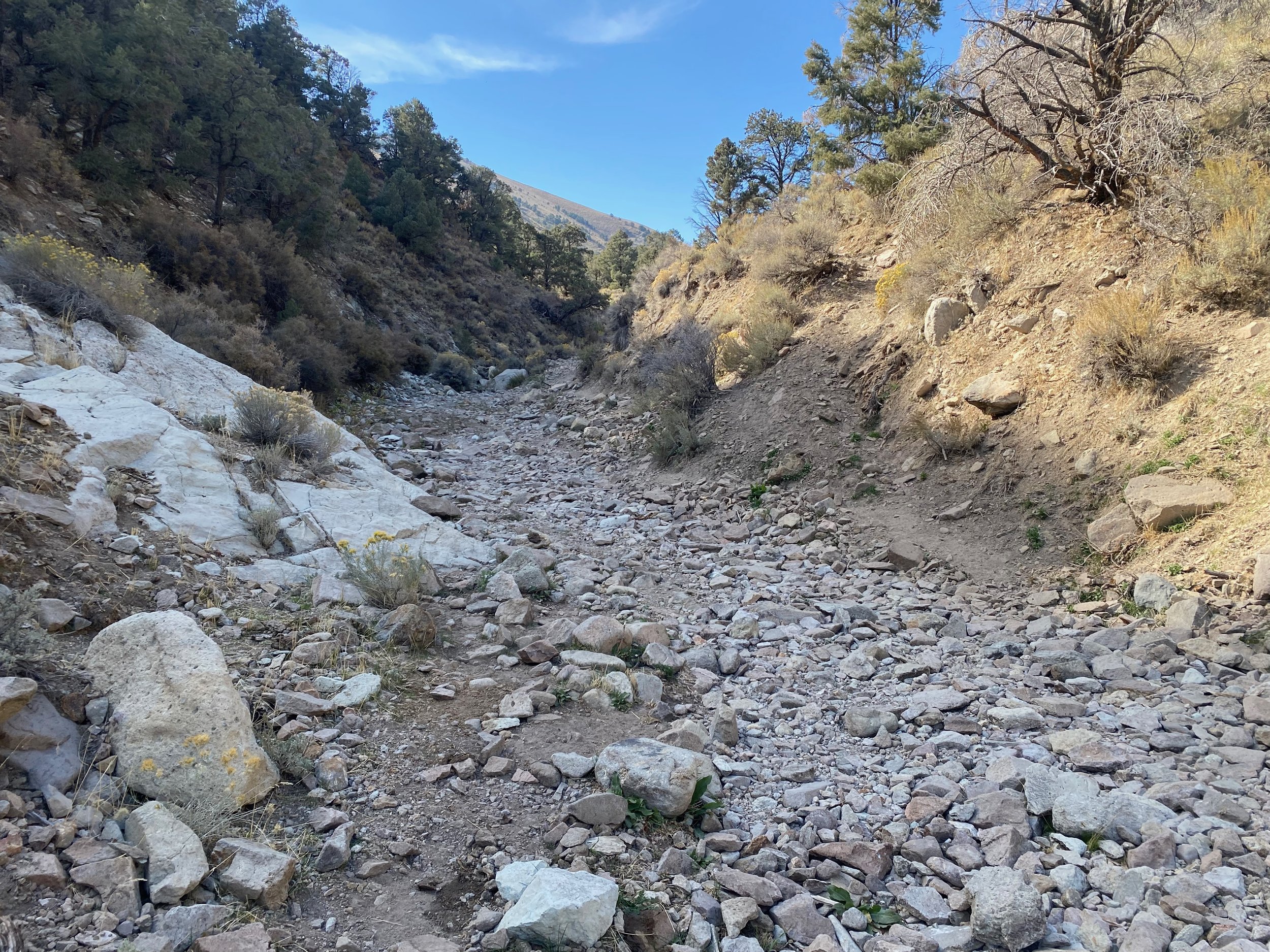
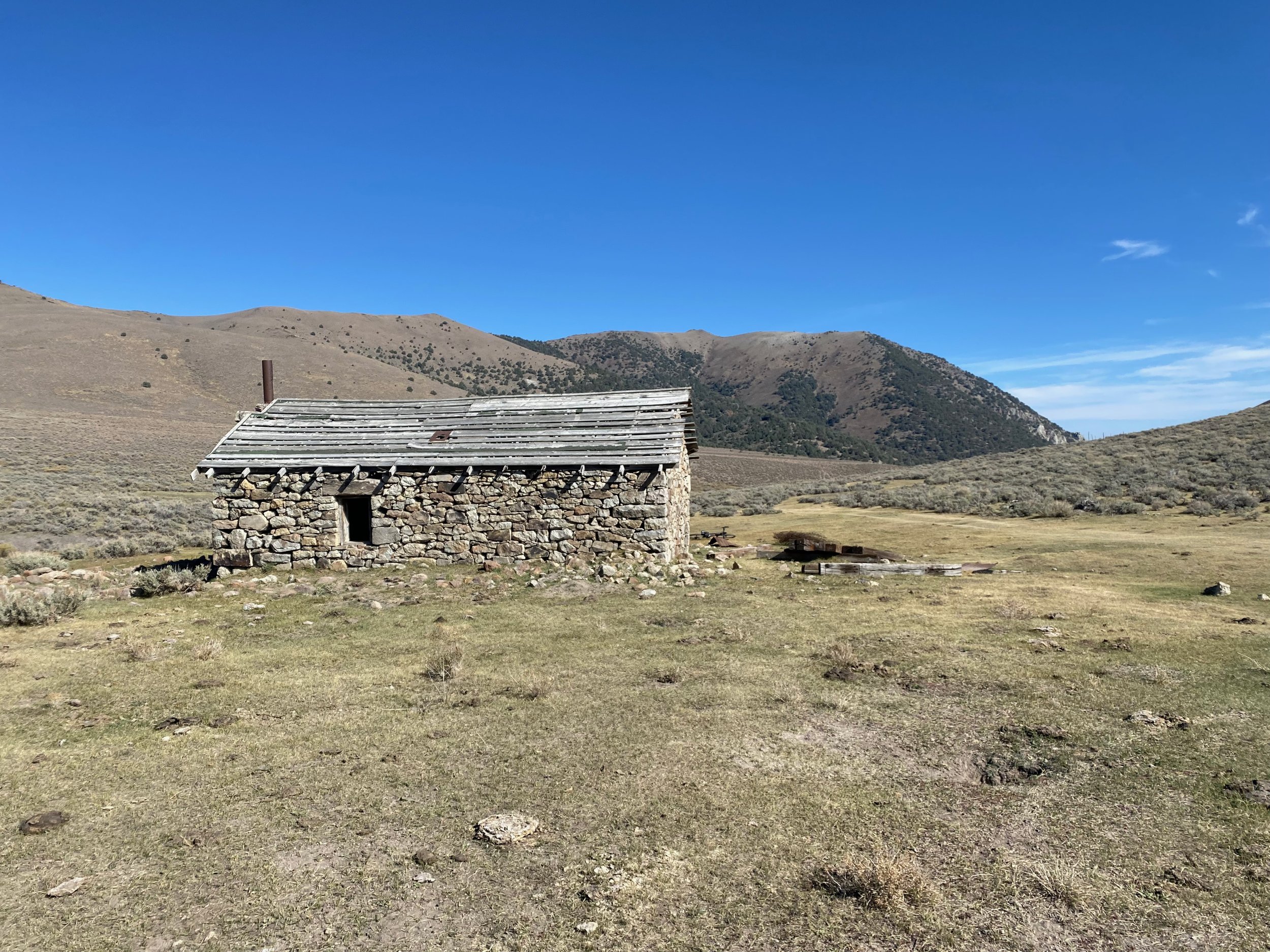
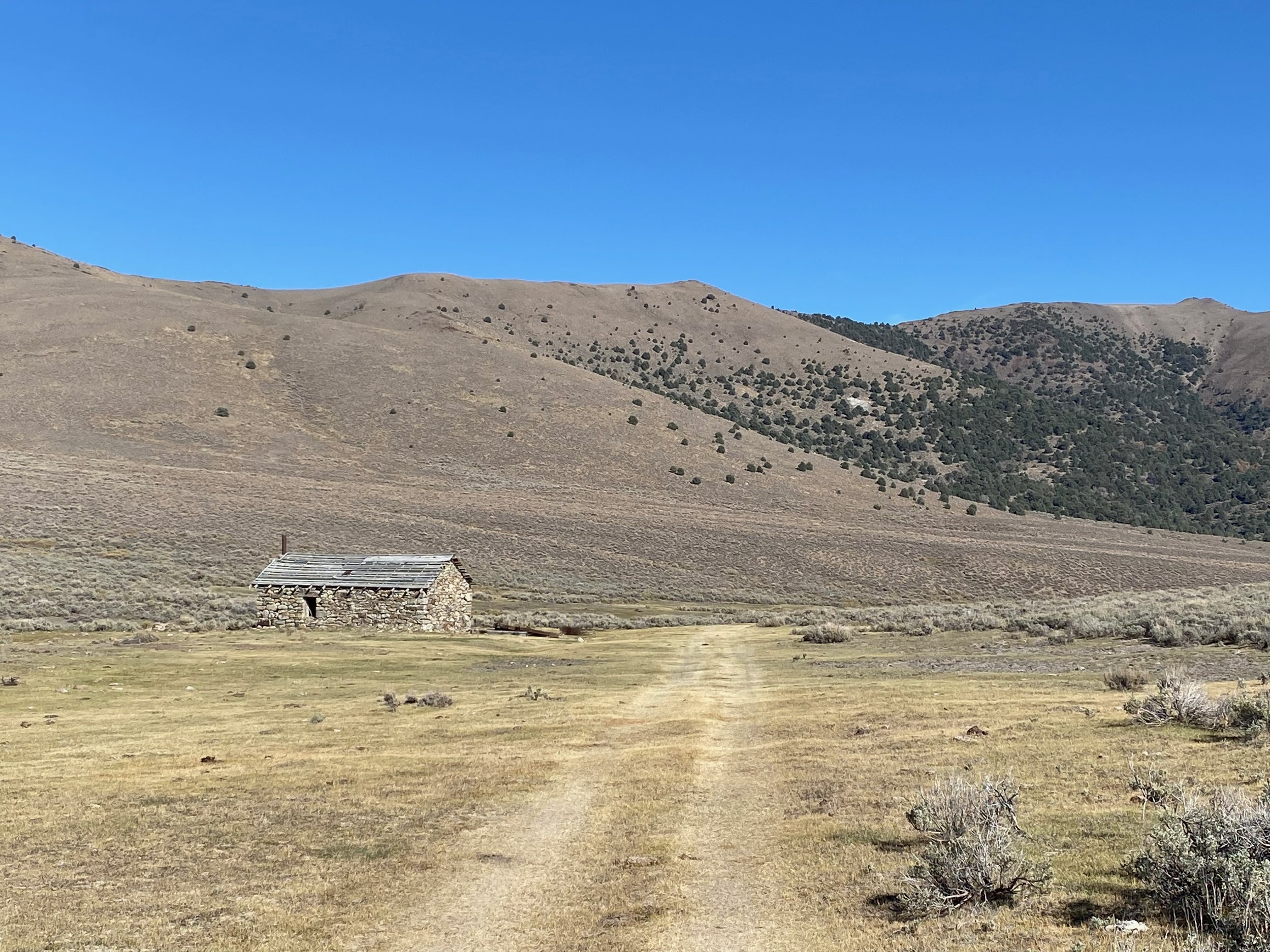
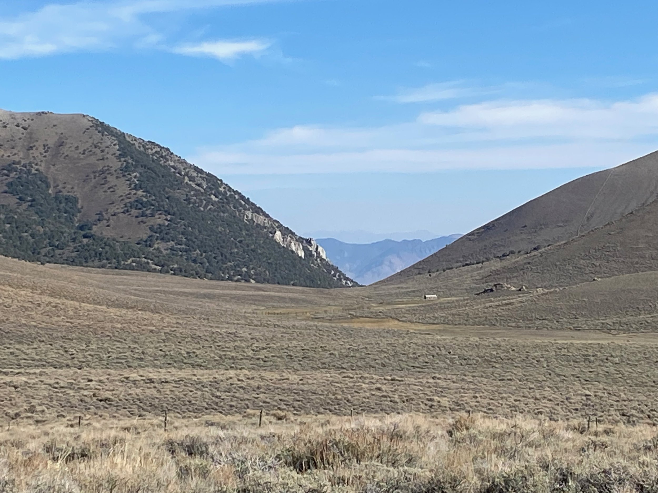
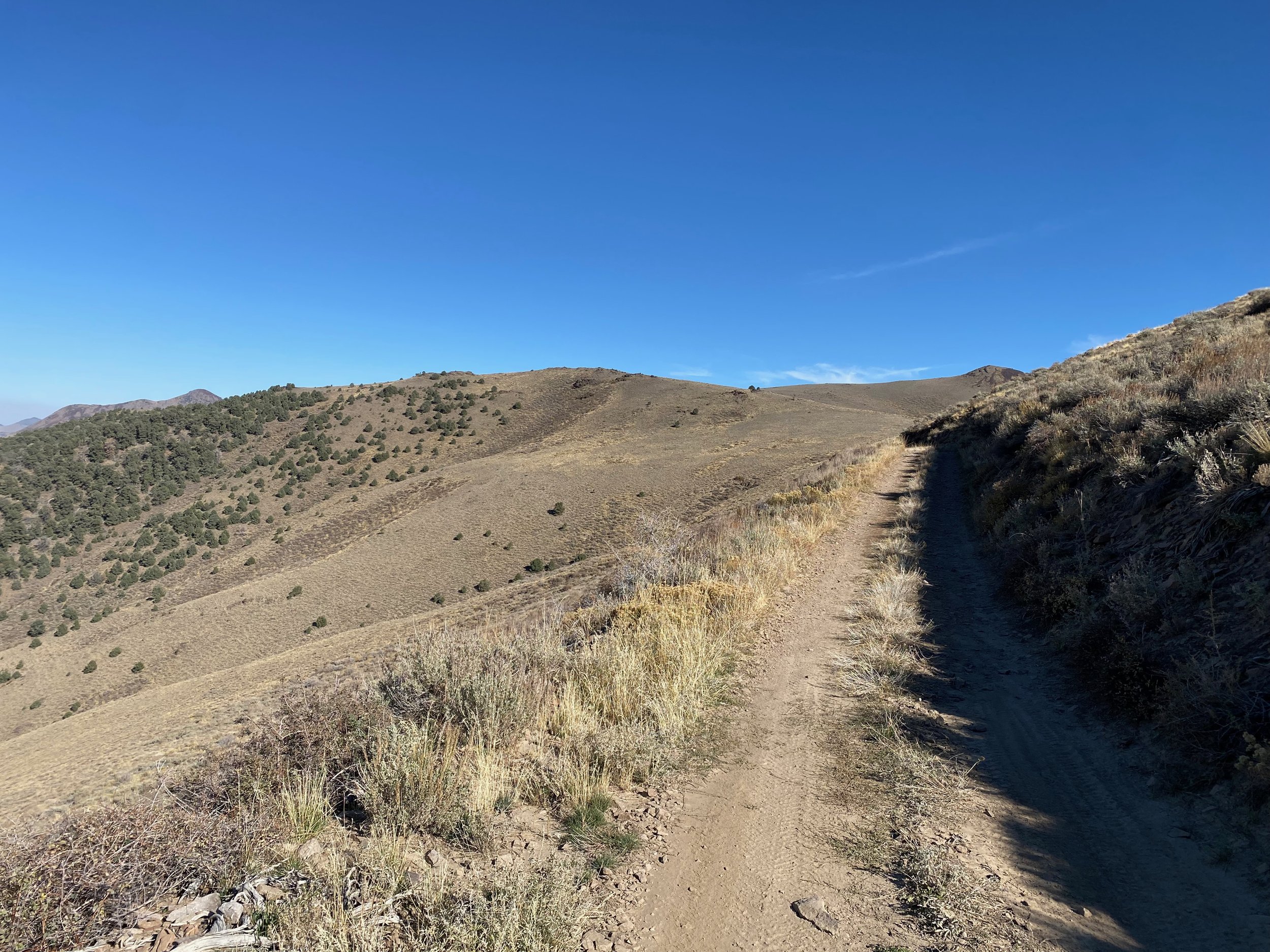
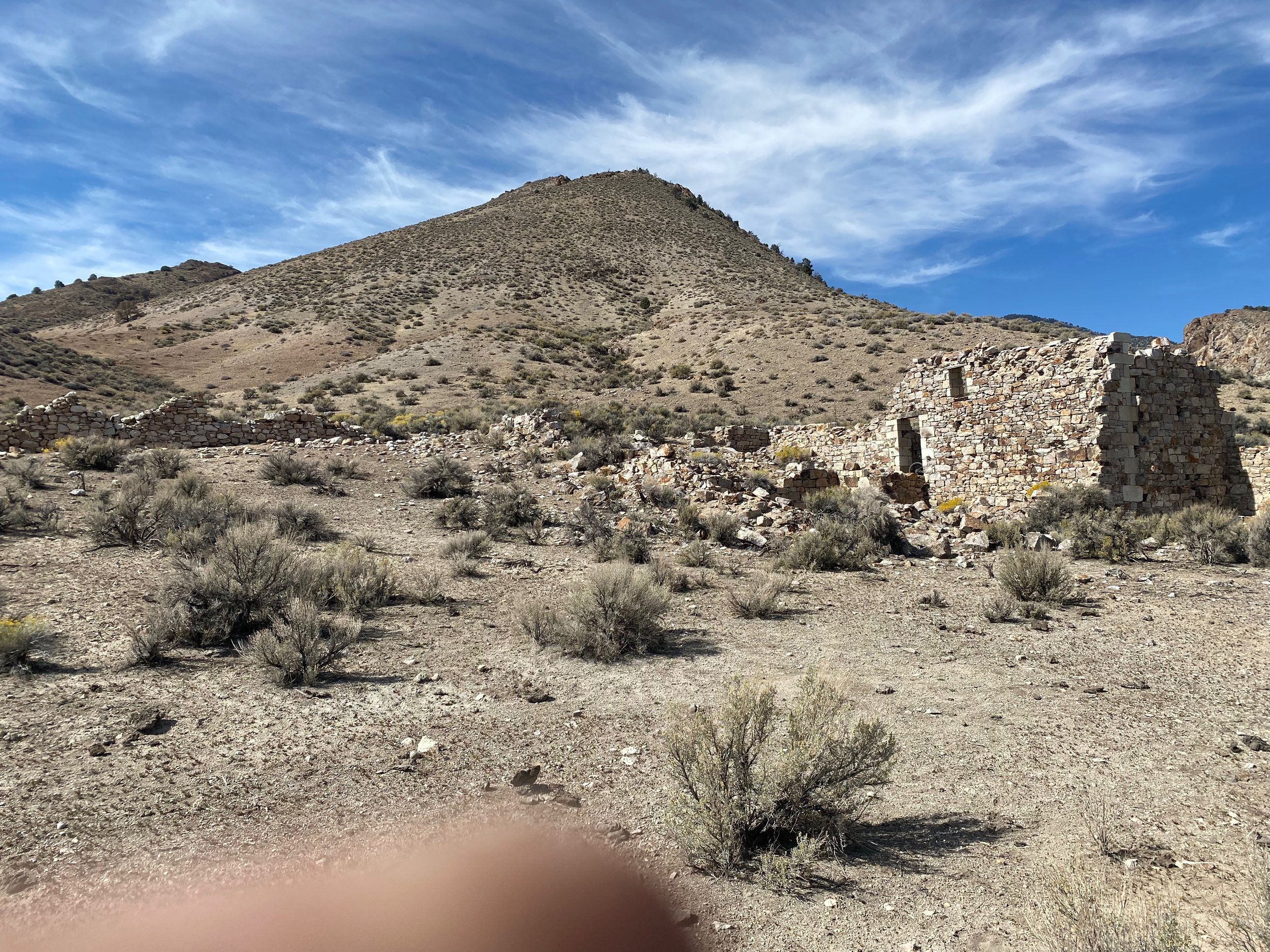
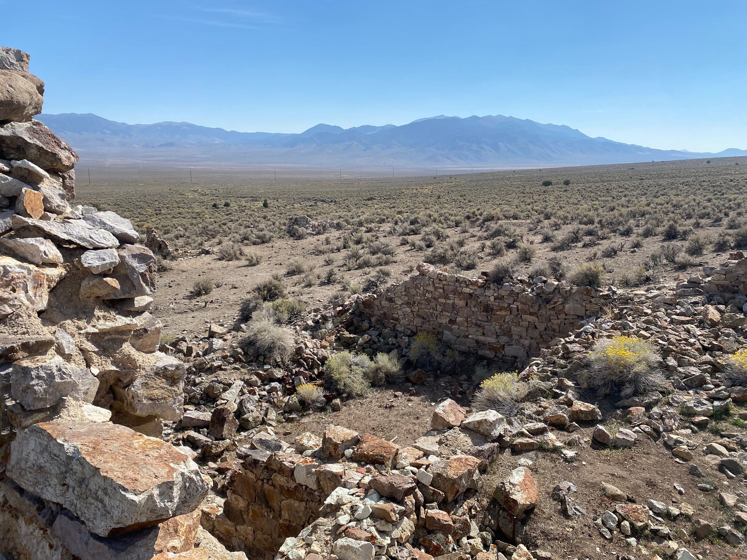
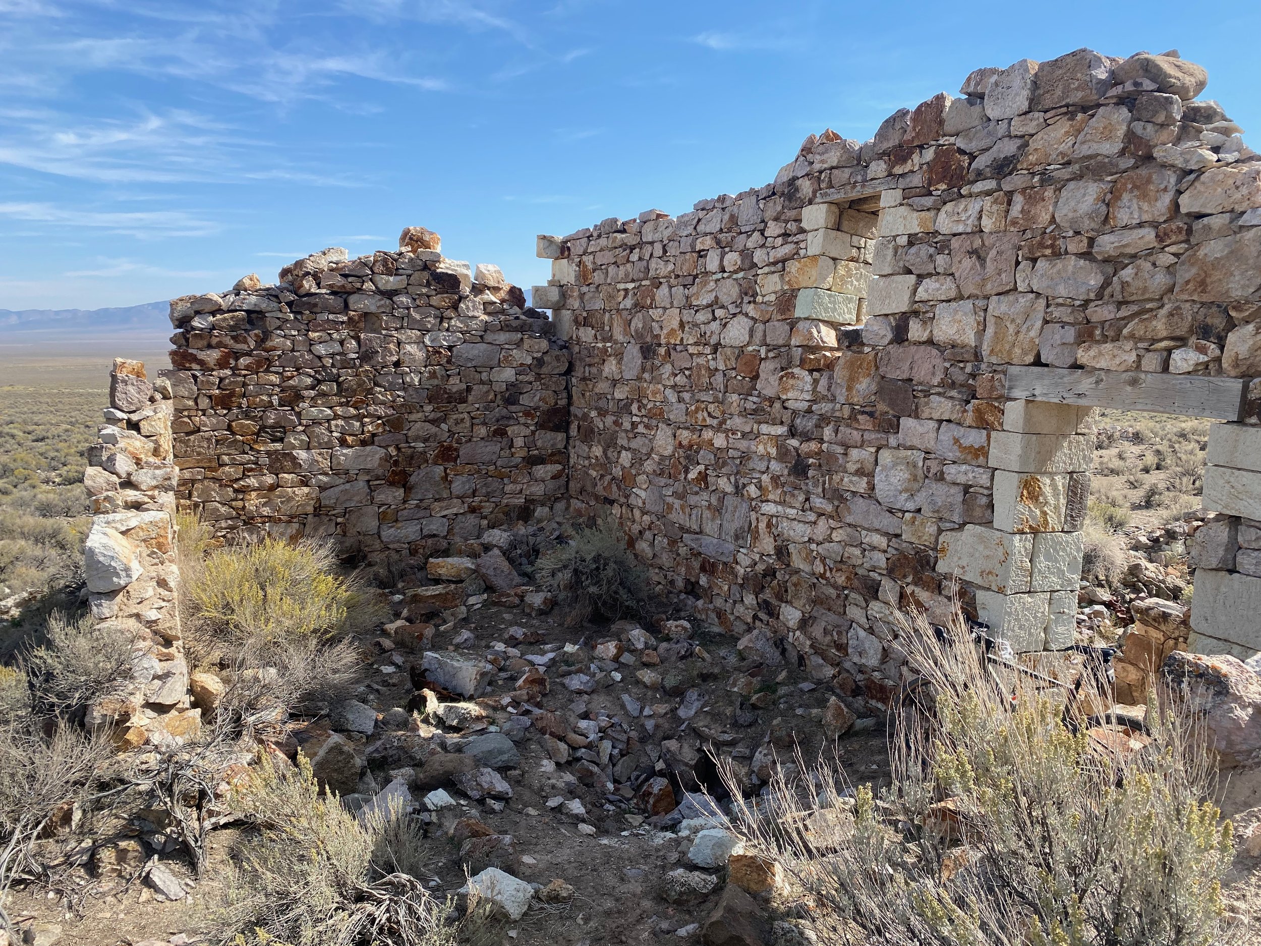
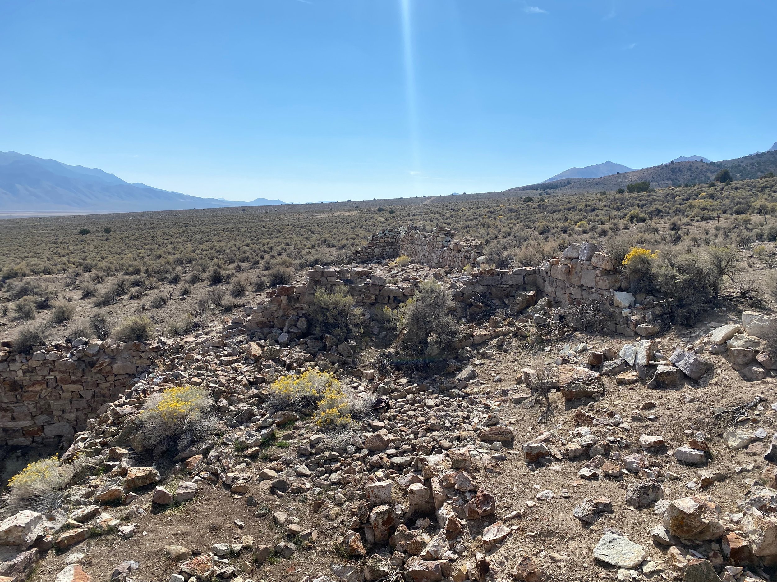
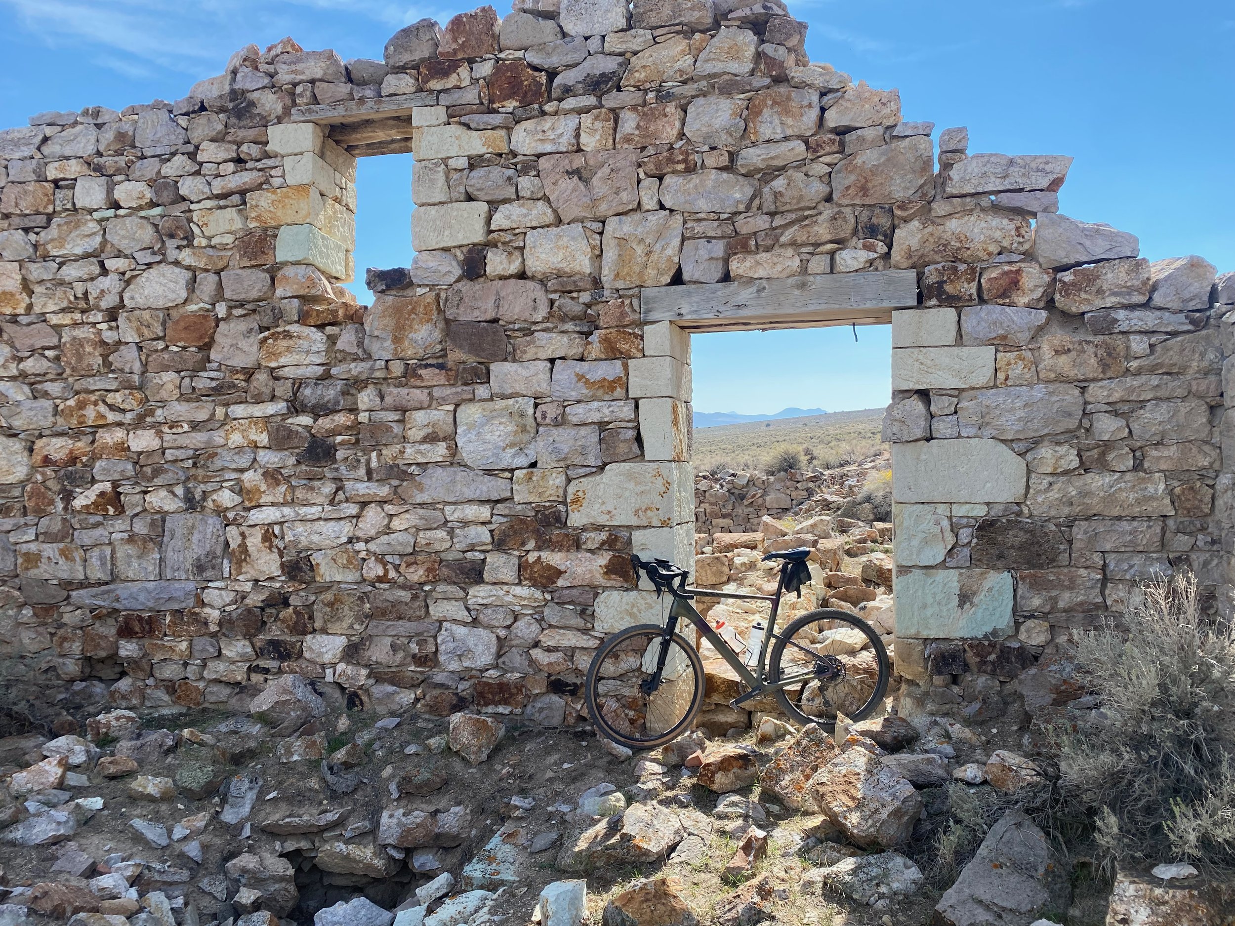
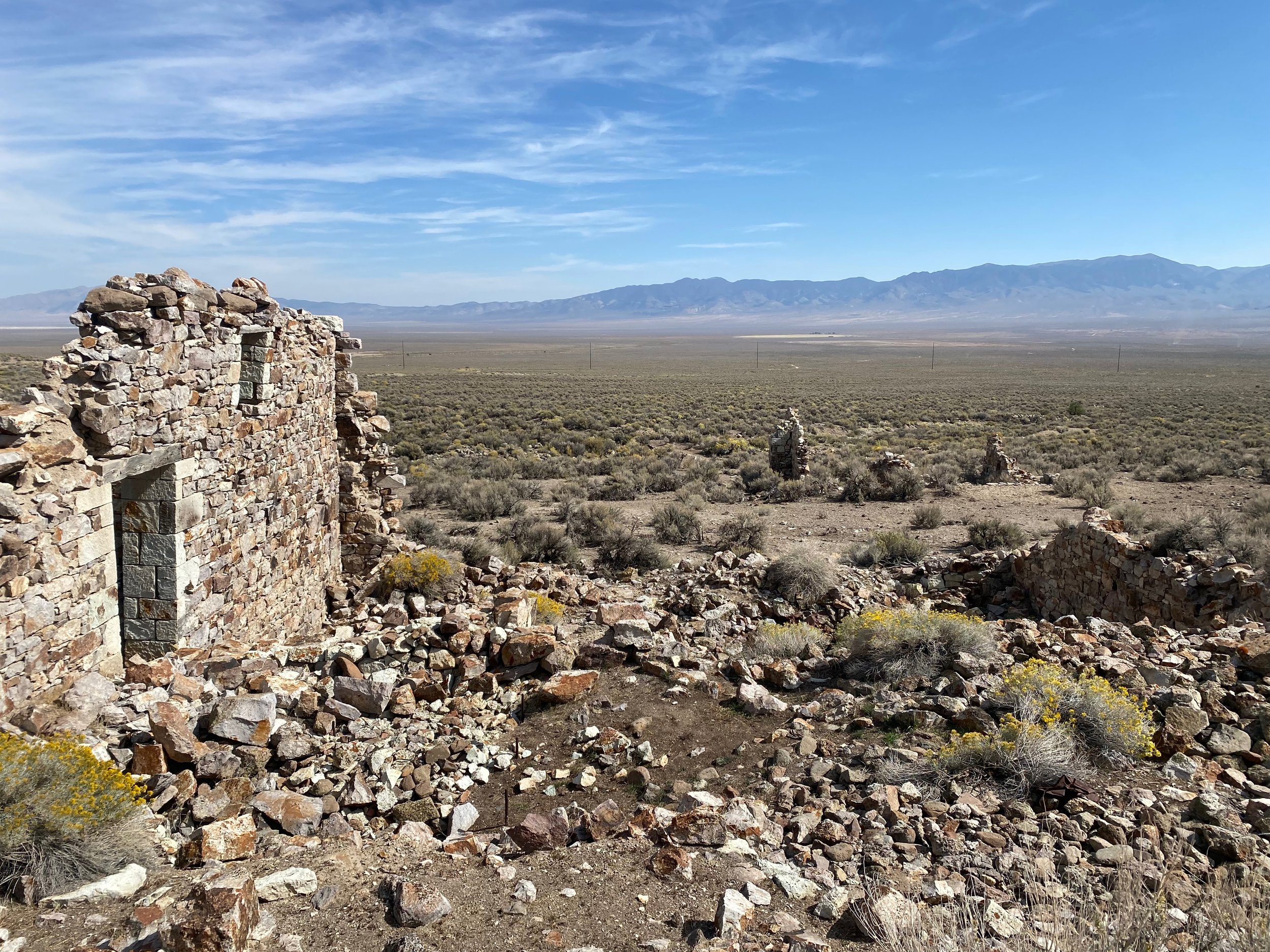
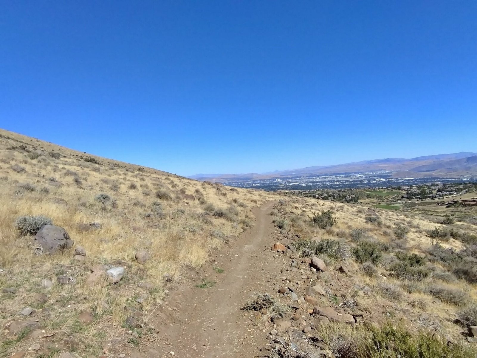
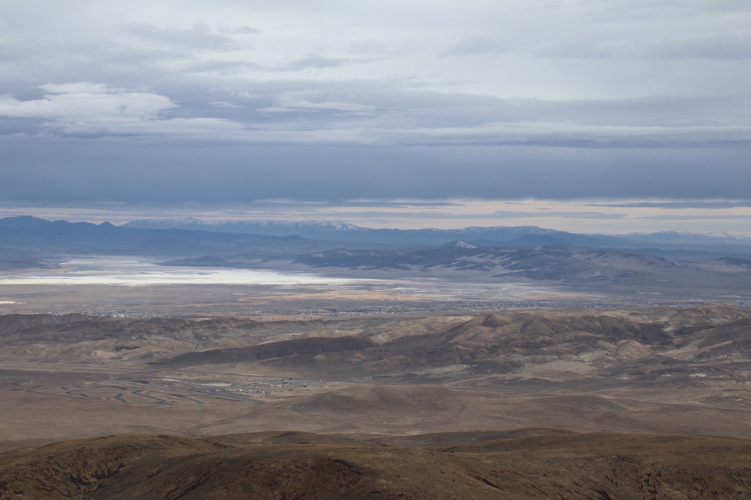
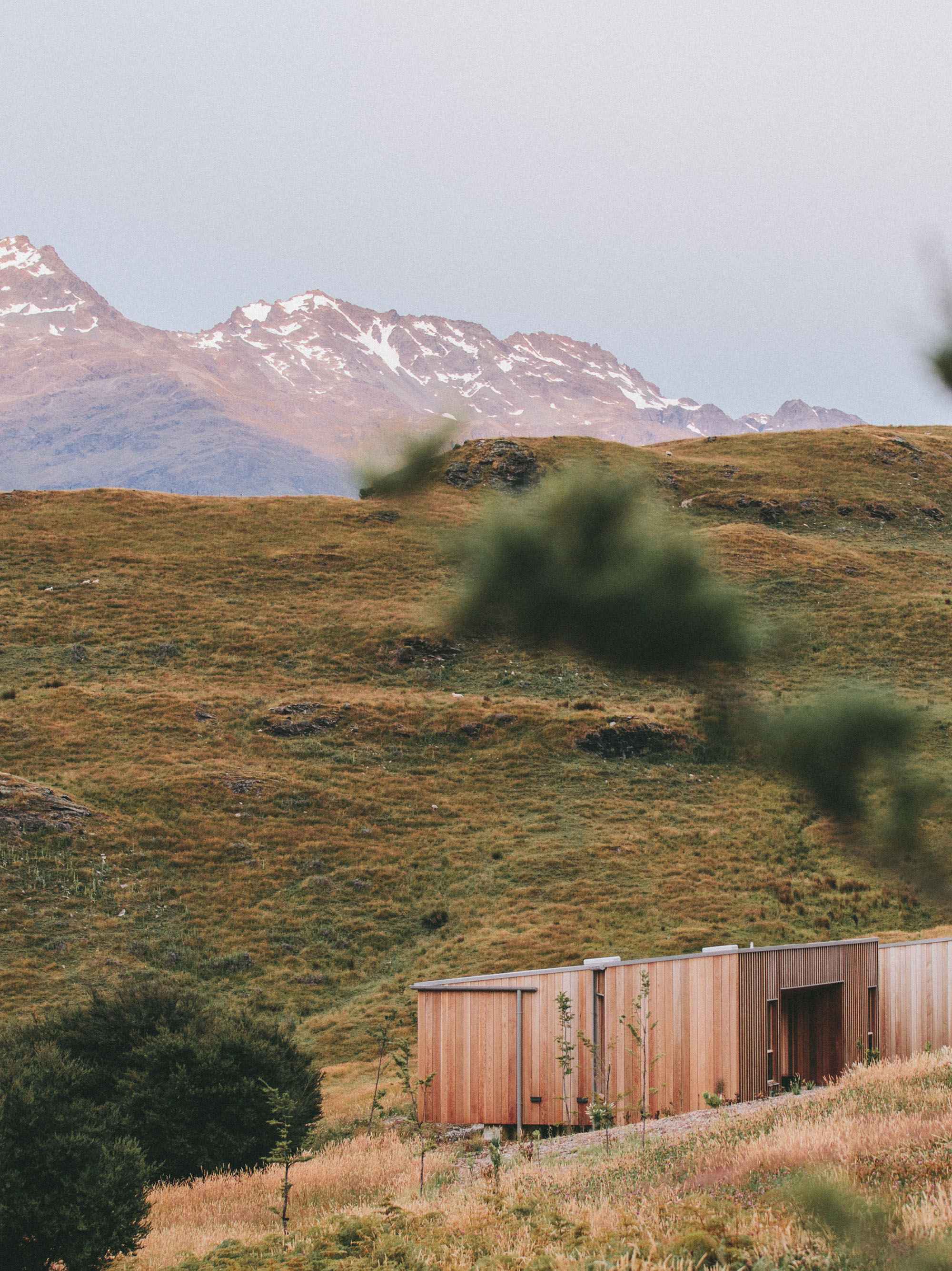
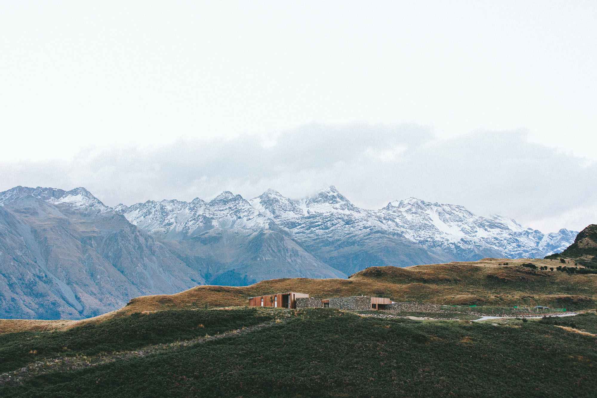
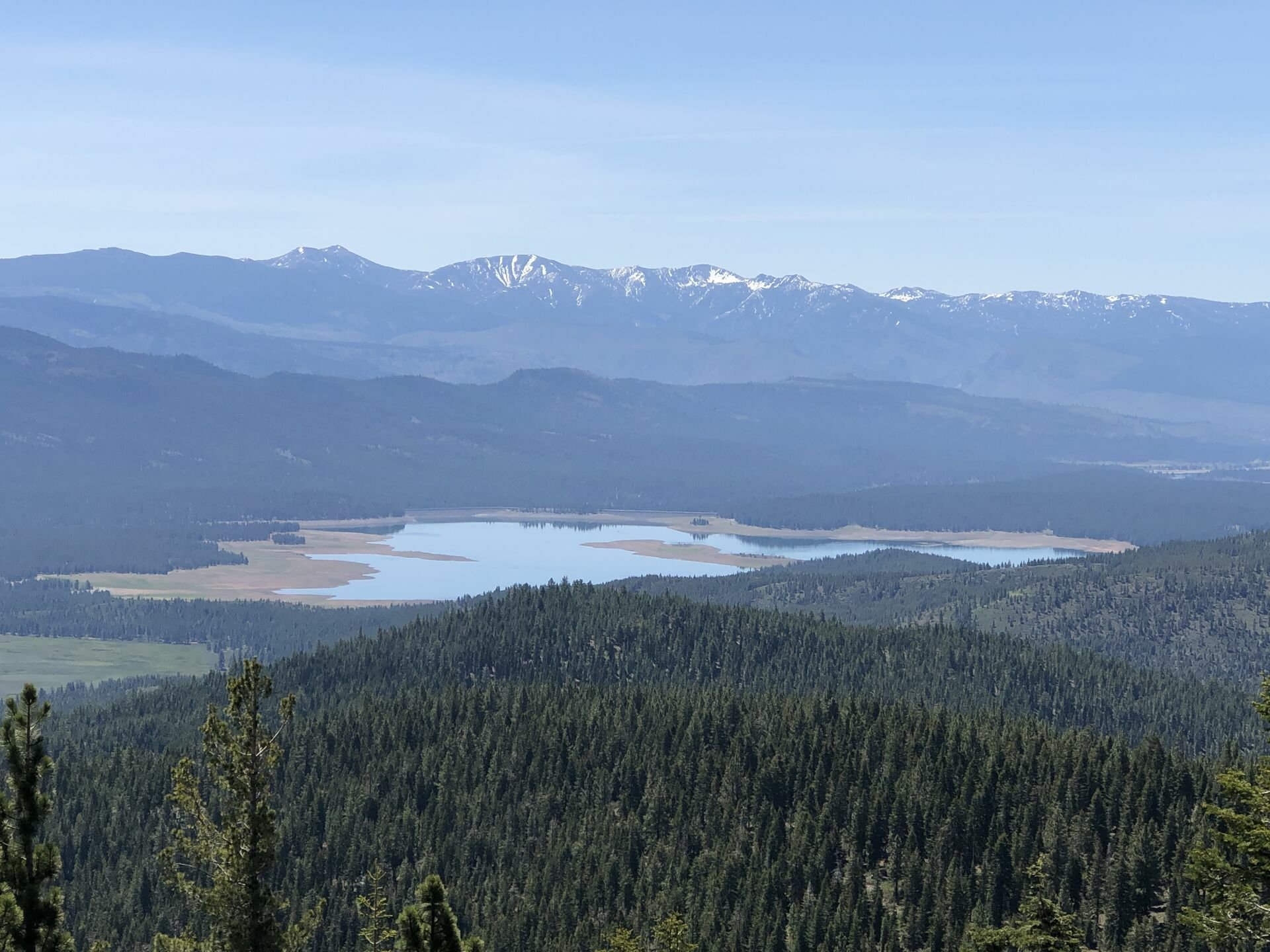
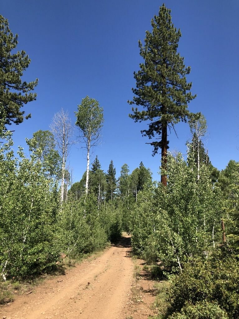
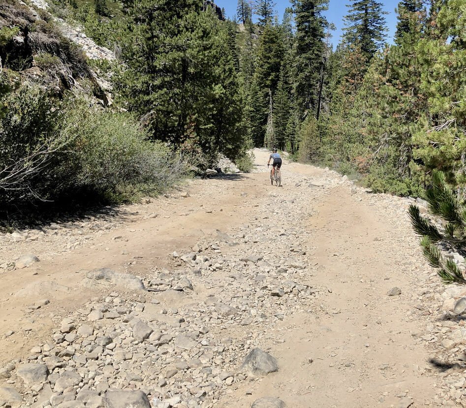
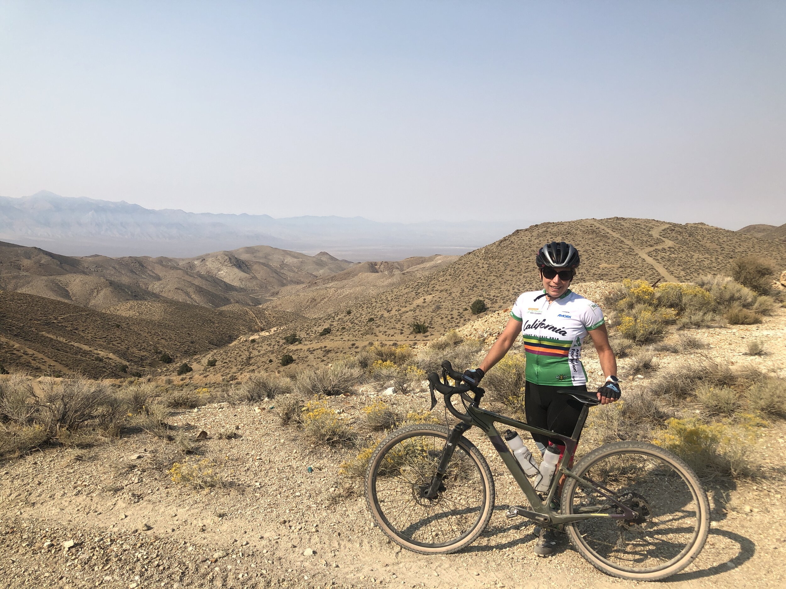
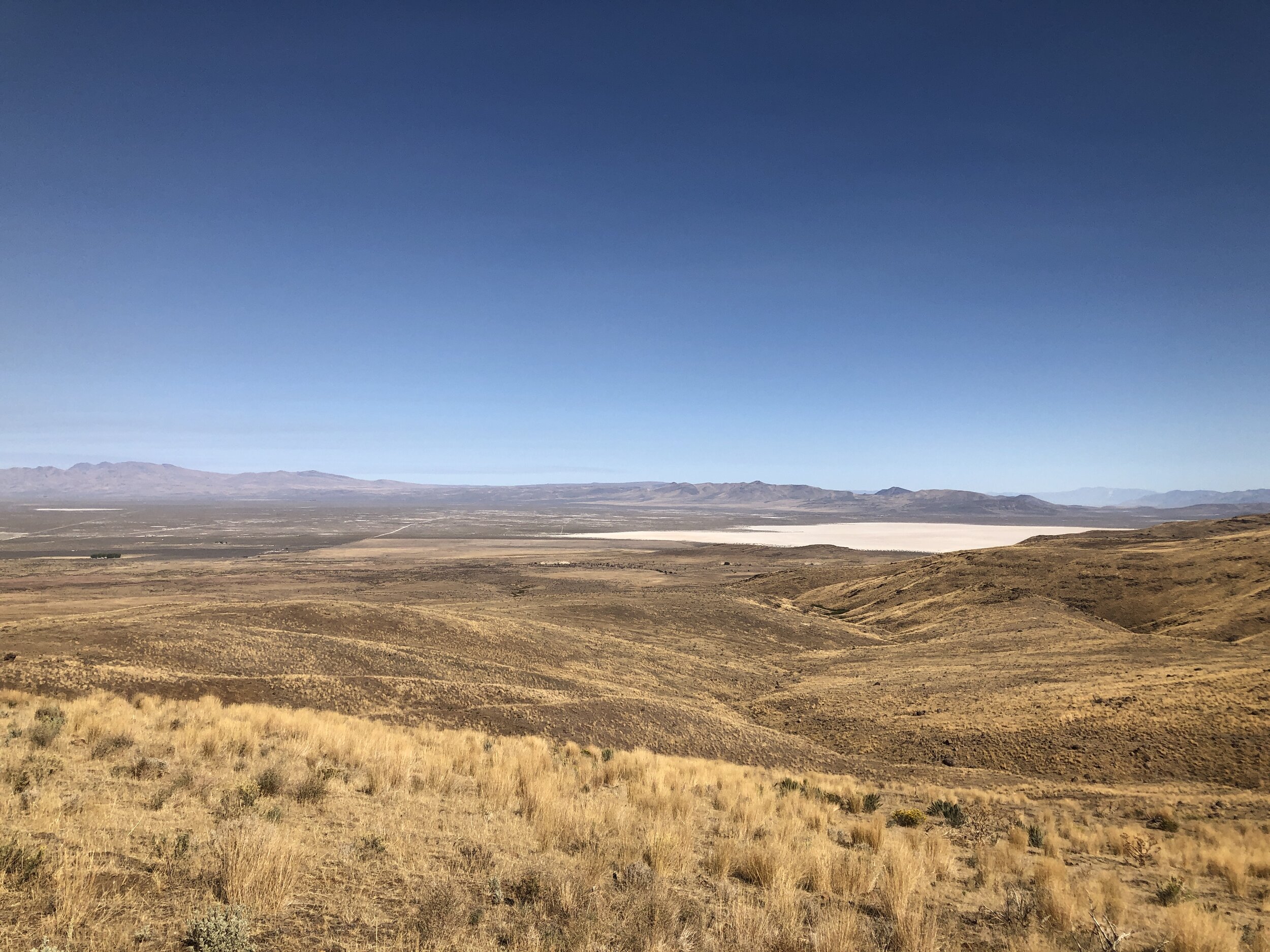
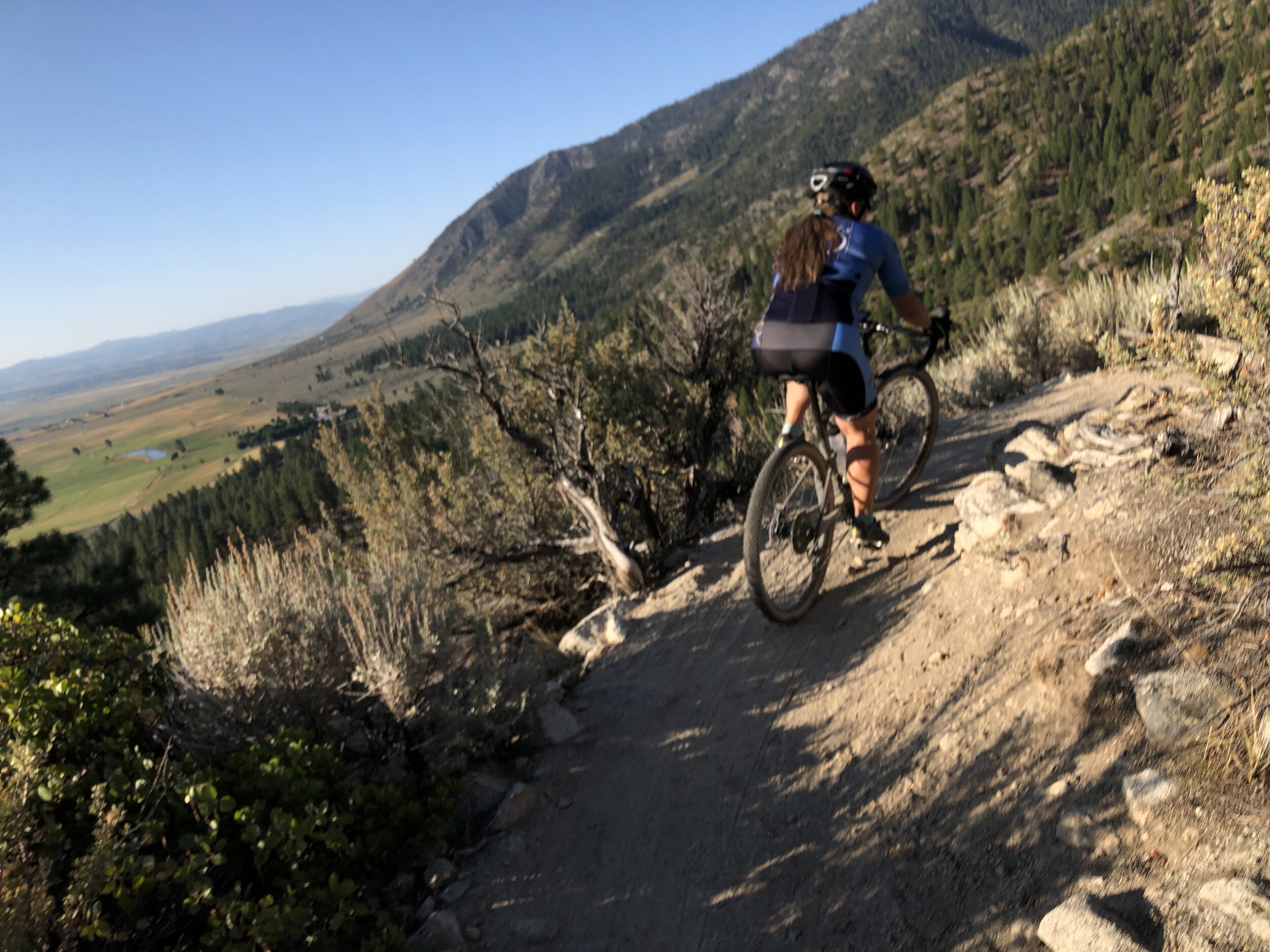
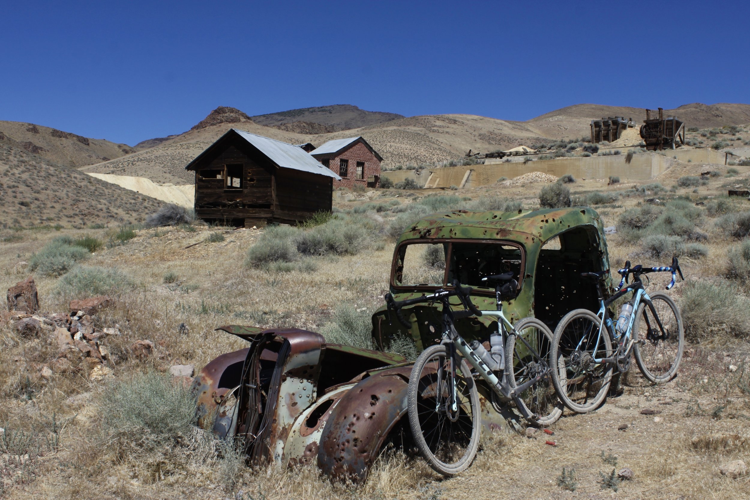
The Silver State 508 bike race started in Furnace Creek, CA. called the Furnace Creek 508. It was a 508 mile bicycle race that started in Santa Clarita, CA, went out to a lovely mining town called Trona, then back through Death Valley, then through The Mojave Desert, CA, and ended in 29 Palms for 508 miles. In this race, competitors choose a totem rather than a race number. The chosen totem stays with the rider for life. This helps bond the race to the rider, and the rider to the totem. Almost every rider knows each other by their totem, and has no real idea what their actual name is. We have been the Great Basin Ichthyosaur. Then 6 years ago, The Government put a new Head Ranger in Charge of Death Valley, and she pulled all permits for everything inside Death Valley for a “Safety Review.” This put a stop the the Furnace Creek 508 until the “Safety Review” was completed. I then approached the promoter of the FC508 and suggested he bring his race to Reno, NV. where we could start in Reno, race out to Eureka, NV, then turn around and come back. Turns out it is 508 miles. That was the start of the Silver State 508.

I crewed the Furnace Creek 508 for a Tandem Team (Lion Fish) riding the 508 miles solo. I crewed for them twice, then rode it once as a 2 mixed team with Jami Horner. It was a shorter race, as that was the year Death Valley was shut down. So, we raced out to the entrance of Death Valley, then turned around and came back. The next year it had it’s inaugural Nevada opening. Now the Silver State 508, I have ridden it Solo , 2 person mixed, and 4 person mixed for a total of 6 in Nevada, and once in California for a grand total of 7 times, and each time is different.

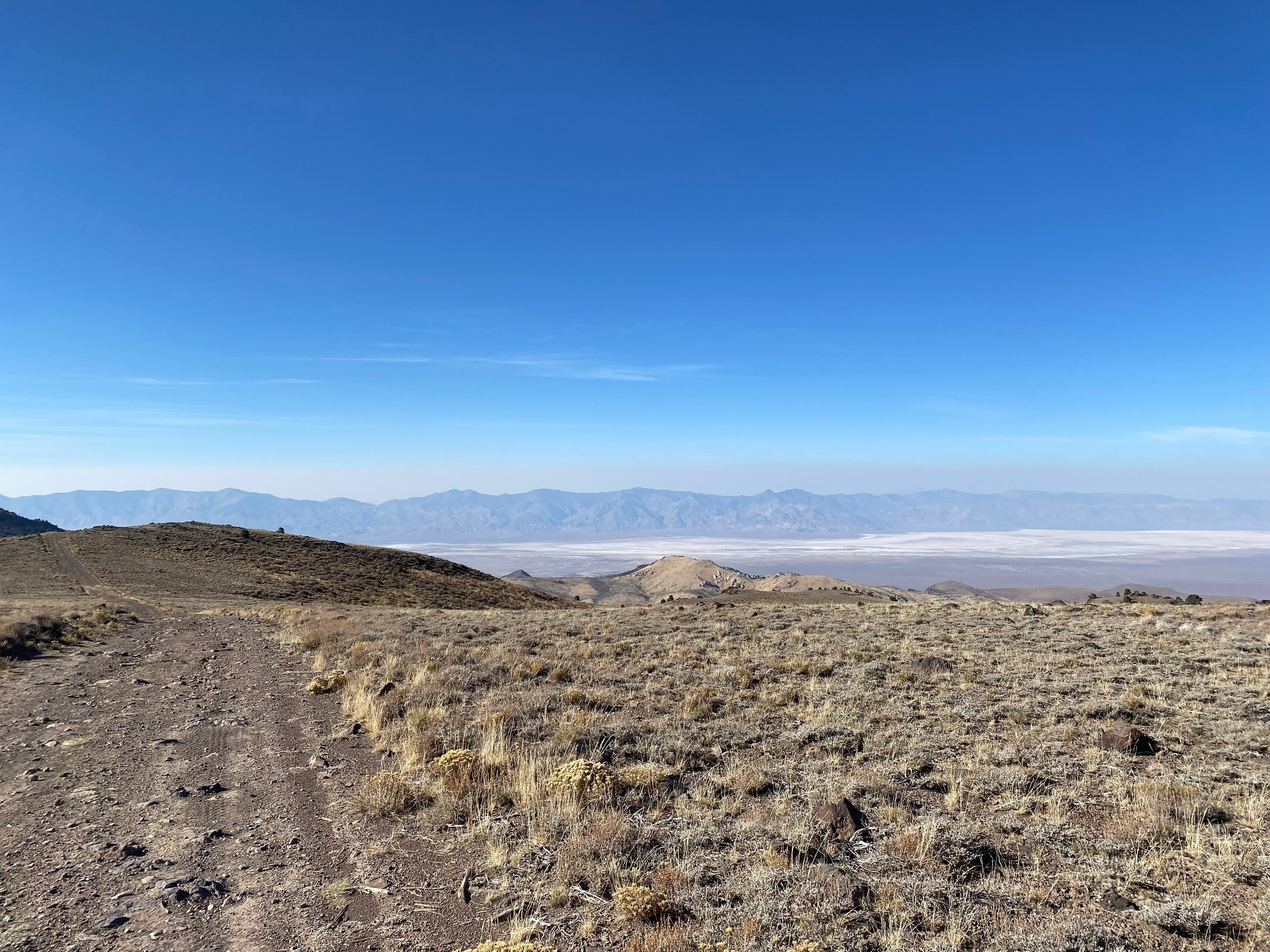
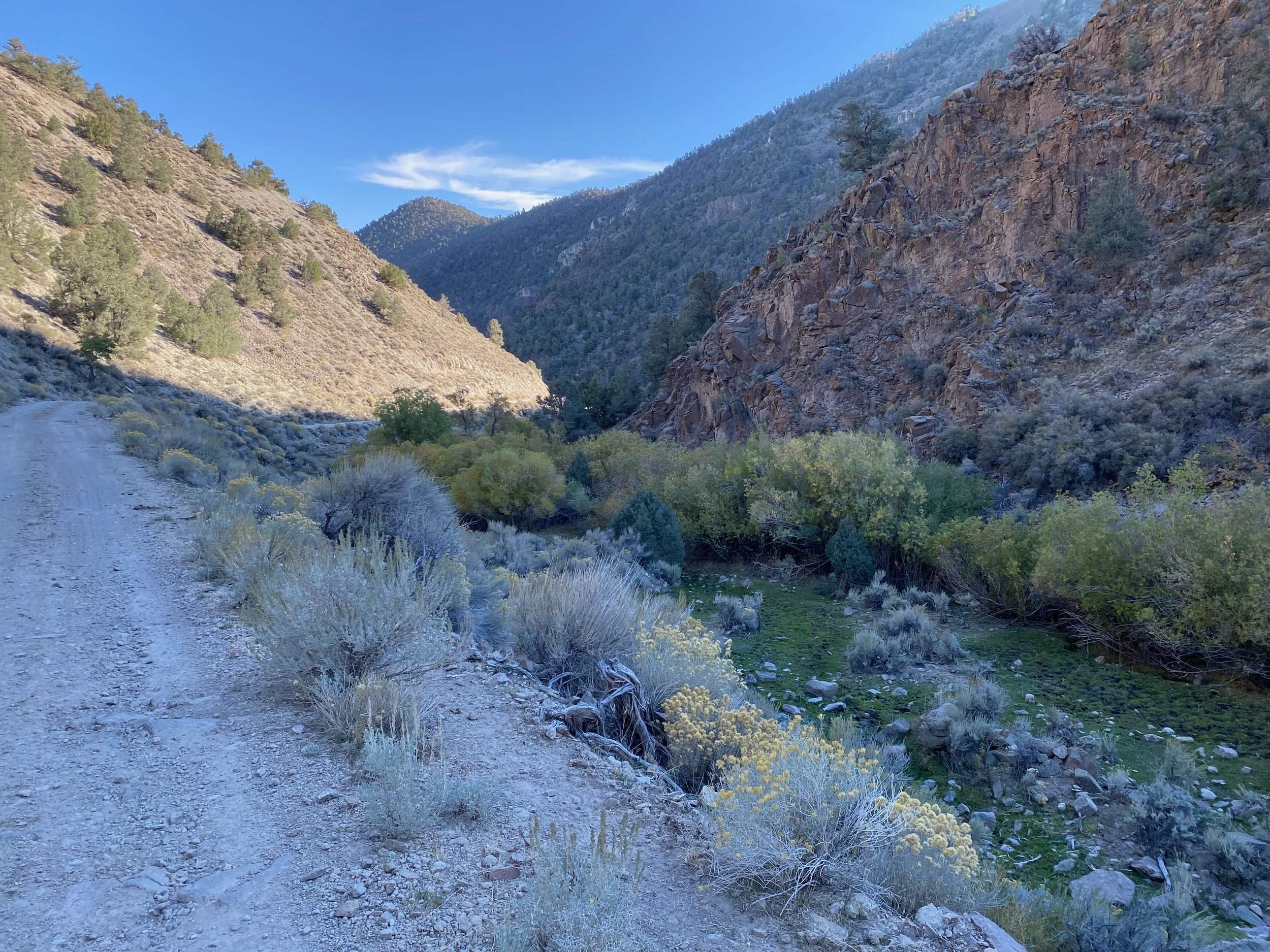
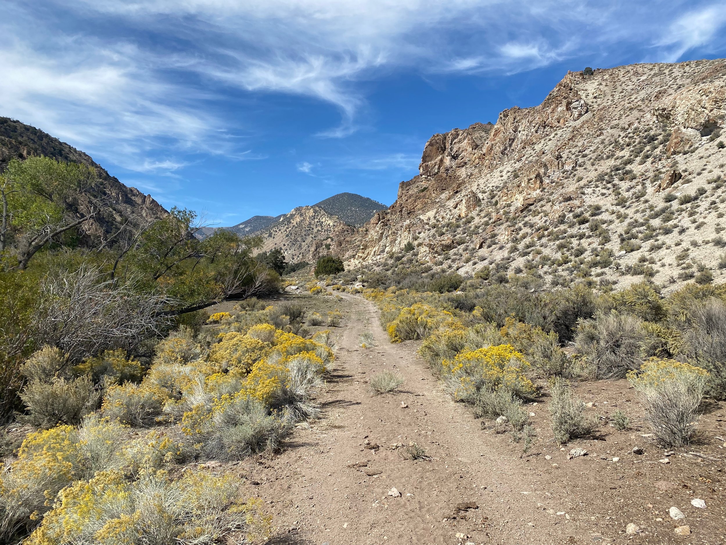
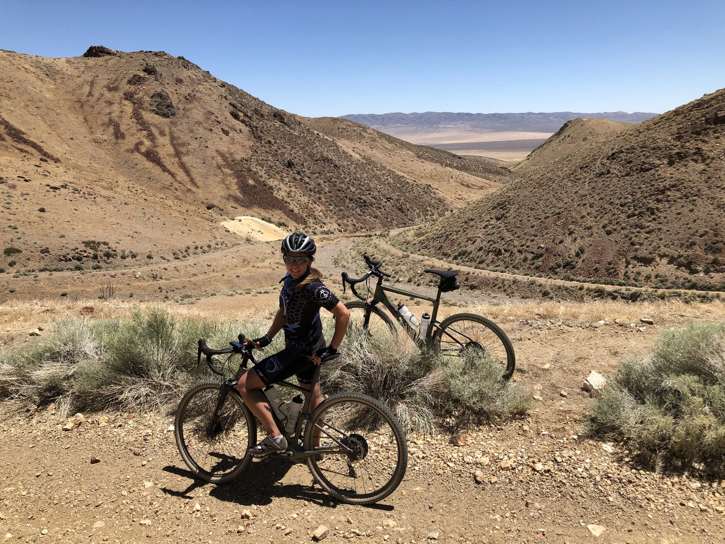
If you ask me, Solo is the easiest. Yah, I know… SOLO???? Sounds crazy, but you find your pace or rhythm, and ride. I actually think it is harder on the crew then the rider. You just set your pace, and ride….. for 36 hrs. The next easiest is the 4 x team. This is a team of 4 riders that completes the course. Up until this year, the race course was broken up into stages . Stage 1 - Reno to Silver Springs 48.77. Stage 2 - Silver Springs to Fallon 31.35 miles. Stage 3 - Fallon to Austin 106.41. Stage 4 - Austin to Eureka (the turnaround) 70.5 miles. Stage 5 - Eureka to Austin 70.1 miles. Stage 6 - Austin to Fallon 112.5 miles. Stage 7 - Fallon to Silver Springs 24.45 miles. And stage 8 - Silver Springs to Reno 43.35 miles. You might notice that the legs out have different mileages then the legs back. They have to move the time stations to the opposite side of the road for the return, so they are located at different locations.

Before the team starts, you try to optimize rider position, because the rider that starts a leg has to complete that leg. If the rider can not complete that leg, the team has to return to the start of the leg, and rotate the next rider in. Then that rider has to complete the leg in it’s entirety, and continue the rider rotation in order, leg after leg. So, with a 4 x team, you find which riders do best on which legs, and you rotate through. The nice thing is that each rider knows when they will start, when they will finish, when they have to sleep, eat, drink etc. It gives everyone 2 legs, and a big break between legs for recovery. I would say that 2 person team is the hardest. Again, each rider has to complete their individual legs. So you get pulled out of the support vehicle, slammed cold onto the bike, then ride as hard as you can, then when you are done, you are slammed in a car, cramped, tired, and have to eat, sleep, and try to recover before you are again pulled out of the car cold, and back on the bike as hard as you can go. So, which ever way you ride the race, there is always strategy, except for solo. Set your pace and ride is really the only strategy you can have for that one.

This year a couple new categories of competition opened up. The 50/50 class. One person ride out to Eureka, the turn around, and one person back. The person coming back gets the fun of riding more than 1/2 of the way back to Reno in the dark ,and very cold. So, there is strategy here. The other class that opened up is the “Open Class.” This is like many other ultra endurance bike races like RAAM (Race Across America) where riders can interchange where ever and as often as they like (as long as you can interchange completely off the roadway.) So this year, the first for the open class, we entered as a 4 person Male Relay 40-49 year average category. We did have one woman, Rebecca Eckland on our team, who is as fast as the guys anyway. To be classified as a 4 x Mixed, we would have needed 2 women. This year, there were 6 teams in our category, and 13 total 4 x teams that we were still competing against, in our category or not. Everyone wants bragging rights. This year there were 95 competitors, 13 Nationalities, 33 solo riders, 13 4x teams, and 4 2x teams.

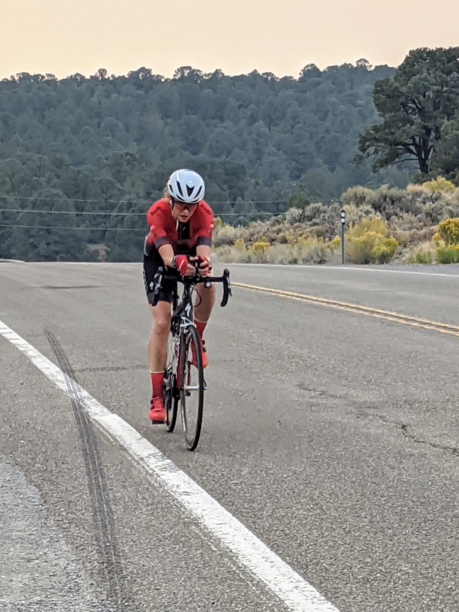
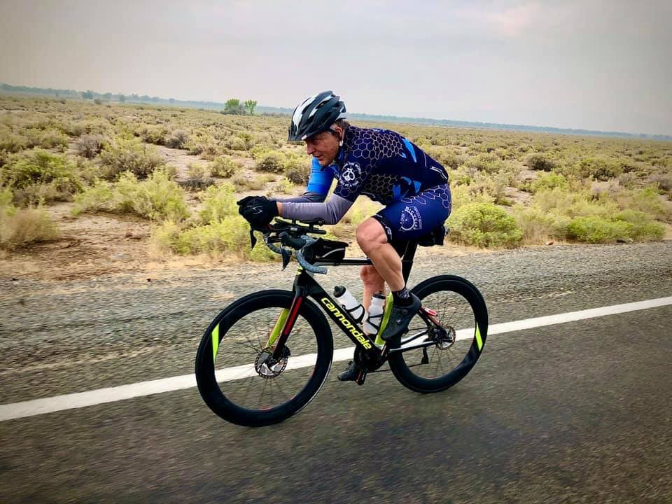
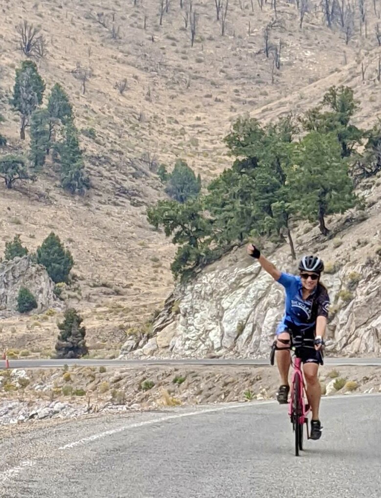
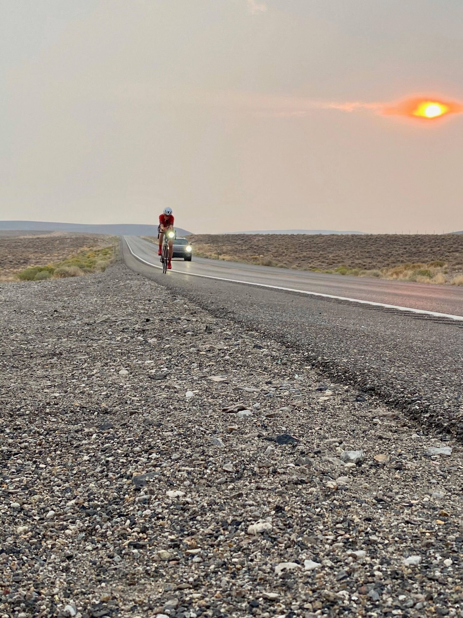
This year, we entered as a 4 person “Open Class.” Our team consisted of Rebecca Eckland, Brandon Tinianov, Kevin Weiske, and myself, Rich Staley, with my brother Dave Staley and Jim Newberg as drivers. Because all riders were fairly matched, we had a plan of taking 2ish hour pulls each in rotation. This would give each rider about 40 miles, and a 6 hour rest before they rotated back onto the bike. We are all more endurance riders, except Kevin. He does lots of shorter USAC (United States Amateur Cycling) events where it is one and done. So, this would be his first real endurance test. Because of this, we were going to take the return trip from Eureka by how everyone felt. Maybe change distance times to one hour apiece. But that was the plan until the Sunday before the event when Brandon called. He separated his bicep muscle from the bone. That took him out of the event. Scrambling, we managed to sucker Mike Taylor to jump into Brandon’s place. Talking with Mike, I realized that he is fast up climbs. Not just fast, but very fast. My best time up Geiger Grade out of Reno (when I was 28yrs old) was 33 minutes. Now at 50 my best time is around 36 minutes. Mike, at 51yrs can do it in 31 minutes. This changed our strategy completely. As it progressed closer to race day, I came to realize that both Mike and Kevin were going to be riding bikes without aero bars. Aero bars bolt on to the handlebars of the bicycle allowing the rider to lay down on his / her forearms to maintain a more aerodynamic posture. This will give the rider 1 - 5ish miles per hour faster because of the more aerodynamic form. Across the Nevada desert there are miles upon miles of nothing but straight roads where aero bars will give an advantage. Both Rebecca and I had them. This would mean that I would have to put Mike on most of the climbs, Kevin on the intermediate climbs where aero bars are less of an advantage. Rebecca is a magnificent climber, and can keep up with almost any man out there, but she is also a fantastic monster on the flats with the aero bars. She has posted many of the fastest (men and women) legs of the race where she raced the Stage Race format. So, I could use her anywhere. Thank goodness for that. Now for me, I am a monster on the flats, slight grades, and have the technical ability to take the downhills fast, even in the dark. So this set the strategy for the race. Give Mike most of the climbs, Rebecca we could put on the flats and climbs, Kevin got the intermediate sections, and I got the rollers, flats and downhills. The problem with this strategy? There was no real organized structure of the race. So eating, drinking, sleeping, and just resting were going to be tough to accomplish before the next rider was called up to ride again.

Mike hands me the GPS tracker for the end of his first pull over Geiger Grade in 36 minutes. I am off for my first leg of the race across the flats to Sand Mountain for 66 miles.

Mike hands me the GPS tracker for the end of his first pull over Geiger Grade in 36 minutes. I am off for my first leg of the race across the flats to Sand Mountain for 66 miles.

Because of Mikes climbing ability, he got the start. He would get to start in Reno, and climb Geiger Grade to Virginia City, then descend 6 Mile Canyon to Highway 50, 25.25 miles. Crew had to drive around Carson City to the intersection of Hwy 50 and 6 Mile Canyon to alleviate traffic congestion up Geiger Grade. For this reason, we did not get to see Mike going up Geiger grade. All I know for sure is talking to another competitor: “We were all headed up Geiger as a group when he just left us. All we could do is just watch him pull away!” And away he went. The rest of our team and the crew were waiting at Hwy 50 and 6 Mile Canyon for Mike to arrive. We knew he would be the first one there. Later he told me he tucked (aerodynamic form on the bike) the 6 Mile Downhill to make sure he maintained his lead, which he did!) the entire technical descent. As we were waiting at the intersection for Mike, we had planned a rider exchange where I (Rich) would take the flats / rollers past Fallon to Sand Mountain 67 miles. As we waited for the riders to arrive, I checked my phone for a “GPS Live Tracking” information. It showed Mike clearly in the lead. Another competitor was sure they were going to be first. As the first rider came into view, the other team said to me, “Those GPS Live Trackers are always wrong! Here comes our rider!” The disappointment slowly showed as Mike came into view with about a 9 minute lead, and I was off. 31 miles, 2520 ft of climbing, 18.3 mph avg.

My section was mostly uneventful. Mostly flat, a couple small rollers for about a total of 1000 ft of climbing in 67 miles, except for the construction section on Hwy 50. This section of road was down to a 2 lane highway. Oncoming traffic, and traffic heading my way. All lanes squeezed together as tight as NDOT (Nevada Dept. of Transportation) could get them. This was not their fault as new road way construction has to happen. However, with the large orange upside down trashcans with flashing lights atop each one left little to no room for a cyclist with large 18 wheelers pulling their cargo to Tesla, Panasonic, or just hay for livestock. they would pass 4 to 6 inches from my handlebars, only because they had no option, and passing at 60mph when I was doing 23mph. Steady nerves, and steady bike handling skills all while trying to avoid road debris from the construction vehicles.

Mike handing off a water bottle at speed. You can see the water bottle in my hand on my back.

Mike handing off a water bottle at speed. You can see the water bottle in my hand on my back.

Now, here is where technology can get in the way. I know my power numbers. I know my pedal efficiency, or how much power is going forward with each pedal stroke. I run Garmin Vector Pedals that give me all this data in one screen. I love it. I had planned to hold about 260 watts on every pull, or about 3w/kg for those tech-no geeks out there, and hover around 90 % efficient for the entire ride. I figured I could keep it there every time I was on the bike. Well, as luck would have it, 20 miles in, my Garmin 820 told me I had just dropped 100 watts, and my efficiency was all over the place. I knew it was wrong as my power, speed and heart rate (I don’t wear a heart rate monitor) were all where they should be for my given speed and output. So I changed screens and just tried to maintain my average speed, listening to my body instead of my computer. I continued to drive to the next time station at the far end of Fallon. About 1 mile past the station, the other team (Coconut Crab) that thought they were first coming down 6 Mile Canyon pass me up. This was a 4 man team. Each rider had 2 bikes, one time trial bike, and one very light climbing bike. Their strategy was to take 10 - 15 minute pulls each. Pull over 300 watts for 10-15 minutes, then wait for 30 - 45 minutes, and out again for 300+ watts on what ever bike best suited the situation. This team crushed the course in 24hrs, 51min, and made up that 9 minutes on me in about 50 miles. They continued to pull away for the rest of the race. I continued on to the next exchange at Sand Mountain. 66 miles, 1000 ft, 22.8 mph avg.

Kevin flying past Sand Mountain

Kevin flying past Sand Mountain

At Sand Mountain, Kevin took over. He had a flat couple miles before he went up a moderate climb, Sand Mountain Pass, then down into the Naval Air Station Bombing Range of Dixie Valley. An interesting note about Sand Mountain. The mountain is in a little cove surrounded by mountains. The way the wind blows in this area, it creates an eddy of wind in this cove. So, as the winds pick up sand from the surrounding dry lake pan, it deposits the sand in this little cove, and the swirling winds keep the sand there. So this mountain of sand constantly shifts within the cove, and all the sand that is deposited here, stays here. So over time, Sand Mountain continues to get larger and larger.

Across Dixie Valley Kevin went, then up another moderate climb Drumm Summit. Once past the summit, he passed Middle Gate and the new Shoe Tree that is filled with people’s old shoes, tied together and thrown into a huge Cotton Wood tree giving it a full look, even during winter months, then across the flats almost to East Gate. Kevin completed 31 miles, 1850 ft, 19 mph avg.

Me sitting on the edge of a huge water retention basin filled by the windmill on the Pony Express Route across Nevada.

Me sitting on the edge of a huge water retention basin filled by the windmill on the Pony Express Route across Nevada.

This area has an interesting history. This is the path of the old Pony Express line. There are still foundations from the Pony Express along this section of the route. Between the desert, Indians, and the wolves (did you know that Nevada had one of the larges species on wolf in North America?) this crossing was not an easy one. This area had fantastic water resources, thus the stop for the Pony Express horses, and produced a very high quality horse hay at East Gate. Then in 1954 there was a 7.3 magnitude earthquake in the area (Earthquake Faults Nevada) that disrupted the ground water, thus starving East Gate of water and ending it’s ability to produce hay. This earthquake shifted the ground vertically by over 12 feet in given areas and changed the economy of the area forever. Now more of a desert ghost town or ghost ranch. Although people still live there, it is not what it used to be.

Rebecca Eckland heading up Carol Summit. A couple of years ago, a fire ripped though this canyon, which is slowly re-growing.

Rebecca Eckland heading up Carol Summit. A couple of years ago, a fire ripped though this canyon, which is slowly re-growing.

Rebecca would be the next rider up. We were gong to exchange at East Gate, but she looked at me and said: “We need to exchange before that, the Strava Segment starts there!” So we exchanged about 2 miles before East Gate so she could get a little warm up before she climbed Carol Summit on Hwy 722. Past East Gate she FLEW! We (riders and crew) have to “Leap Frog” the rider until we get to Eureka, then it is “Direct Follow” until 7am the next morning. So “Leap Frog we did. We had to go way in front of her, because every time we would stop, there she was. By this time, we were catching Solo riders. And catching them she was, one after another. We lost count at about 13 riders passed. Then Mike said: “Dam she is fast, and she is climbing this hill in her aero bars!” Well, she did climb, and she got that Strava QOM by 4 1/2 minutes over the next female, and sits firmly 7th overall, men included. She then dropped Carol Summit into Smith Creek Dry Lake Valley with dust devils the size of small tornados swirling around. This section of road is horrible, and wind from every direction. There are expansion crevasses in the old white asphalt every 10 to 14 feet. Not expansion cracks, but expansion crevasses, they are wide as they are deep. Flat across the valley, you want to stay as aerodynamic as possible, and every expansion crack feels like you just hit a speed bump at full speed every 12 ish feet. It takes a huge toll on the shoulders. But across it she flew, then up a small grade of Railroad Pass where I would take over. 37.5 miles, 2800 ft, 17.8 mph avg, 97 deg. F.

Huge Dust Devils across the Dry Lake pan.

Huge Dust Devils across the Dry Lake pan.

Because of my weight, size, and aero bars, I was up again. This is just an 8 mile gradual descent, and a 8 mile flat section through Reese River Valley to Highway 50, just before Austin Nevada. This is a beautiful section of road. Relatively rough with small expansion cracks everywhere, but no road stripping on the right side of the road. This road, from the bottom of Carol Summit to Hwy 50 is all old white asphalt. The problem is that the shoulder is also white rock and sand. The same color as the road way. When I am in my aero bars, I look up to make sure the road is clear, then drop my head for a faster aero position, and I watch the white line down by my front wheel to make sure I am in the proper position of the roadway, occasionally looking up for any debris or obstacles in the road. This assures my maximum speed and keeps me going in a straight line. However, this roadway has no white line, and you can’t discern the road from the shoulder, so I am sure I looked drunk crossing this section as I had no reference as to what straight was with my head down.

This is a beautiful valley. It has some of the most sought after Alfalfa, as does Fallon, in the world. There are Alfalfa fields on both sides of the roadway that turns this desert valley, between 9000 ft peaks to your west, Desatoya Mountain range and 12,000 ft peaks on your right, the Toiyabe Mountain Range into a green oasis filled with deer and antelope. The problem with Reese River Valley is that it is a gigantic swamp cooler when returning at night. Because of all the irrigation and water evaporation, we have seen 17 deg F in this valley 2 different times. But beautiful it is. 16 miles, 131 ft (mostly downhill), 23.1 mph avg.

Sky Blue Turquoise from the McGunness mine out of Austin Nevada.

Sky Blue Turquoise from the McGunness mine out of Austin Nevada.

At this point, Hwy 722 intersects back into Hwy 50 just below Austin. Austin is an old mining town in central Nevada perched at 6605 ft. In fact it is so central that if you draw lines from the corner of the state to the opposing corner, and side to side, and up and down center to center, you bisect Austin every time. Well, pretty darn close. This old mining town initially born in 1862 by Alvah Austin who kicked over a rock to find silver, and the silver rush to Austin was on. Now mostly a preserved Ghost Town, Austin is known for it’s amazing Turquoise. To this day, turquoise is the main stay of this town, in both nugget and vein form. The McGunness mine produces some of the most beautiful nugget sunset sky blue turquoise ever. If you have time, many of the shops in Austin sell the turquoise mined in the Toiyabe Mountains.

Mike up and over both Austin and Bob Scott Summit’s with yet another KOM!

Mike up and over both Austin and Bob Scott Summit’s with yet another KOM!

Now back to the race. As I finished the last miles of Hwy 722, Mike was lined up and ready for his next leg. Taking a right on Hwy 50, he accelerated up the highway, east toward Austin. As crew, we had to stop at the Time Station and check in so that we were recognized as coming though, and given a proper time split. Quickly we checked in, took a quick bathroom and ice cream break from the gas station, all jumped back into our 7 passenger van, and sped up the hill after Mike. Well, we sped, and sped, and sped….. Austin Summit is a rather short but steep climb of 5 miles that averages 6%. Problem is that it is just an average. It pitches sharply right out of Austin, then levels only to pitch again, then levels to the summit. A quick decent, then up Bob Scott Summit, 1.4 miles at a steady 4%. We finally caught Mike 1/2 way up Bob Scott Summit, 8 miles after he left us. He ended up with a Strava KOM on the two climbs, almost 2 minutes faster than the next competitor. Yes, Mike is fast. He then had a long strait down hill off Bob Scott Summit, and flat and rolling terrain 1/2 way to Eureka. 42 miles, 2894 ft, 20.4 mph avg.

Again, the ride turned back to me. This section is mostly flat with a slight downhill into our turnaround in Eureka. Because of my aero bars, this section again suited me well. Further, Rebecca has a sleeping sickness. At about 10pm, she turns into a pumpkin and falls asleep. Does not matter where she is, down she goes. So, we all decided that she was best suited to ride out of Eureka 1/2 way back to Austin, then have Kevin take us the rest of the way back to Austin. So, off I went. A beautiful sunset with a smoky filled full moon rising in the east. Quiet, cool, and a perfect temperature of about 58 degs. There was a slight headwind as I watched the huge moon crest the mountains through the smoke from multiple wildfires in the state. It was a beautiful sight every time I looked up from watching the white line below my aero bars. 33.4 miles, 738 ft, 19.3 average.

Me, heading towards our Turn-a-Round in Eureka. Rolling through Monitor Valley at Sunset.

Me, heading towards our Turn-a-Round in Eureka. Rolling through Monitor Valley at Sunset.

Eureka, like Austin is an almost living ghost town that sits at an elevation of 6481 ft, and has more activity that Austin with Rodeos, farming, and just more overall activity. But as you come into town, you feel like you are riding into the old western movie Rawhide. Old wooden and brick buildings line the streets, and even at almost 8pm, everything was quiet on a Friday night.

Eureka was founded in 1864 by miners that again found silver. One miner flipped over a rock to discover silver ore and exclaimed “Eureka!”, and yes, that is how it got it’s name. Later in it’s mining years, lead became the mining element that keep the city alive, as well as it’s tremendous night life with a legendary Opera House that opened in 1880 and is still open today.

Quickly the riders and crew prepared the big white van for our return trip to Reno. Rebecca was affixing lights and warm gear. The rest of us were putting hazard flashers on the van roof, “Caution Bicycle Ahead” sign on the back of the van, and all piling in to follow Rebecca out of Eureka. Everything had to be ready at the same time. At this point in the race, the rules dictate that we have to “Direct Follow” our rider. The rider can’t leave without us, and we can’t leave without the rider. So it was a mad dash to all be ready to go at the same time. And off she went. Quickly she climbed out of Eureka, and then everything went dark. I climbed shivering into a down sleeping bag, cramped on one of the bench seats, trying to share the seat with a large cooler, and I fell asleep. Every so often I would hear the crew talking about her smooth pedaling, her speed, her power…. 32.2 miles, 600 ft, 21.5 mph avg, 52 deg F.

Suddenly the van stopped, an in jumped Rebecca, and out went Kevin. Rebecca was riding for 1:30 minutes, not nearly enough time for what I knew was coming up. So again, I must apologize for my lack of understanding of Kevin’s fantastic ride back to Austin, as I again passed out. I knew I would get the next leg out of Austin. So, again, asleep I went. I actually think Rebecca beat me to sleep, but it was a close competition. The next thing I knew, my brother, whom was driving, woke me up to tell me Kevin was about to descend into Austin. Quickly I bounded up, put on my warm gear and waited for the vehicle to stop. If Kevin would have been just a little slower, I would have gotten more sleep. And because I was asleep, I had to refer to Strava for some help here. From Hickson Summit, down through Big Smoky Valley, over Bob Scott Summit and over Austin Summit (24.5 miles,) Kevin ended up 4th overall, right behind some big hitters. 38 miles, 2445 ft, 17.6 mph avg, 48 degs.

Now Half asleep, I bounded out of the van for my next leg. Watching Kevin descend Austin Summit, I could tell he went hard. Every time he tried to tuck and coast down into Austin, his left foot would shake uncontrollably. A clear sign of being on the verge of cramping. I knew he went hard. Now 48 deg. F. This is where I began to worry about tactics. Mike was starting to ask me about nutrition, which is a bad thing to be asking this far in the race, Kevin was on the verge of cramping, and Rebecca was exhausted. I knew Rebecca would pull through with all her ultra distance experience on the bike. She has 4 (now 5) 508 races under her belt, and many double centuries under her belt. However, I did not know how each rider was going to fair as we continued closer and closer to Reno.

The Magnificent Reese River in Reese River Valley during the day.

The Magnificent Reese River in Reese River Valley during the day.

Back on the bike I descended slightly into the great swamp cooler of Reese River Valley. I expected it to be cold, but was pleasantly surprised at a balmy 38 deg F. Warmer than I expected, I was back on that horrible white asphalt with no lines to guid me while tucked in my aero bars. Mile after mile, now heading up a slight grade , I would pass Burrowing Owls, either flying in front of me in the light of the van and light of my bike, or they were perched on the side of the road wondering what strange creature would cross this expanse at midnight? I was wondering the same thing, but there we were! There was an occasional Jack Rabbit that would play chicken with the headlights, and the occasional cow pie mine field I would have to dodge. Good thing there was no white line to watch, it kept my head up, watching for these minefields. Mile after mile of this strait moderate climb, strait as an arrow, that road that goes on forever, and the party never ends, then finally over Railroad Pass. Now down into Smith Creek and across the road from hell. Like Rebecca heading out, every 12 to 14 ft was an expansion crevasses that felt like speed bumps. The shock of each bump finally took it’s toll. I could not stay in the aero bars. So I would sit up and ride for a couple minutes, then back into the bars. Bump after bump, in then out across the valley. Finally reaching my exchange with Mike for his ascent up the Eastern Slope of Carol Summit. Off went Mike, and out I went. Sound asleep while shivering in my down sleeping bag. 32.5 miles, 833 ft, 17.1 mph avg, 34 deg. F.

At this point in the race, I have no idea who this is. But, this is what it looks like to Direct Follow your rider at night.

At this point in the race, I have no idea who this is. But, this is what it looks like to Direct Follow your rider at night.

It is really too bad that Mike is such a fantastic climber. Again, because of his climbing ability, we threw the poor guy on most of the hills. However, the Carol Summit west side downhill is a technical one. With all the previous Silver State 508 races, the leg from Austin to Fallon was always mine. I was the only rider that had ever ridden from 2am strait through sunrise. So, I always drew this card. This year, because of the new open category, we were able to break this 116 mile leg into pieces. That makes it much easier on me. No so much for everyone else, but definitely for me. Because I know the descent well, I got the downhill of Carol Summit in the dark. So there I am, 1/2 asleep shivering in my down sleeping bag, and again I am awaken by my brother, “Rich, he’s almost up!” “Crap, can’t he climb slower?” I don my down jacket, tights, booties and wait for the van to stop. 12 miles, 1325 ft, 14 mph avg, 34 deg. F.

Shivering in the cold, I wait for Mike to jump into the van. Now 2:30 am, and dressed in my Patagonia light down jacket, I drop into my aero bars and plummet down the hill reaching speeds of 45.5 mph. The faster I pedal, the faster I warm up. Into the first switchback like a motorcycle racer, body in, knee out, and tires clutching to the ground, I whip the first turn. I fully expect to drop my brother driving the van. I switch my headlight to full power, and the van sticks with me. Well, lets see what happens in the next corner. Pedaling hard, determined to drop that white wale, I whip the next corner, down the strait, and bunny hop a cattle guard in the aero bars. And that dam wale is still behind me illuminating the roadway. I continue the descent to the old dried up ranch of East Gate, then 6 rolling miles on to Hwy 50 where Mike will again take the next leg. For a side note, my brother has driven behind me on a bike for years. He knows how I ride, how I corner, and what speeds I am comfortable at. However, he is not so good are realizing at what speeds the other crew member is comfortable at. This caused a little friction is the passenger seat of the van. The other riders did not seem to mind as much as I am told that somehow they slept through the slamming from side to side. And according to Strava, I have the KOM on that downhill. 17.5 miles, -2000 ft, 28.4 mph avg, 39 deg F.

At this point in the race, fatigue is setting for everyone. Drives are switching off regularly to sleep. As a rider, you realize that you don’t have any power left. This is about 350 miles into the race. Although you don’t have power left, you do have strength left, and this is where the endurance kicks in. You have no more sprint, but like a freight train, you can slowly bring the bike up to speed, then you can sit at that semi comfortable speed. You can’t go any faster, but you can maintain that tempo.

Again, Mike takes to the road. I have no real idea how he did because again, I was out like a light. I know this section of road well. You ride out of Middle Gate, over Drumm Summit, not much of a climb at all, but you look across the Naval Air Station Bombing Range of Dixie Valley, only to see the strait road in front of you continue strait as an arrow across the valley and up the other side to Sand Pass. Again, this is the road that goes on for ever and the party never ends. You drop into the valley, and the road on the other side just never gets any closer. Finally it does, and with out any power left, unless you happen to be Mike, you slog up the other side. Mike again took the Strava KOM on the climb by 8 minutes. Then a fast strait descent to Sand Mountain. 27.3 miles, 679 ft. 23 mph avg, 46 deg F.

Kevin near sunrise heading into Fallon

Kevin near sunrise heading into Fallon

I barely realized the rider switch to Kevin. I knew Kevin was hurting. On his last stage, he was cramping. Although Mike and I rotated pulls this only gave Kevin 5 hours of recovery time. As well as physical drain, the mental aspect hits you hard. From Sand Mountain to Fallon, you cover a great expanse of nothing but strait roads through a dry moon scape dry lake bed with crystallized salt across the dry pan. After multiple crossings of this moon scape, and almost 400 miles into this race, I have seen aliens, space ships, and a 6 year old child crying on the side of the road with a flat tire on his tricycle. He was asking me to fix his flat as I rode by. Half of your brain knows your hallucinations are exactly that, but the other half thinks, “Whoooo dude…. Cool aliens!” I have no idea what Kevin saw or thought, only that he got us to Fallon, and a little beyond. 26 ish miles…..???

Rebecca rolling past a wild horse and road construction in Silver Springs.

Rebecca rolling past a wild horse and road construction in Silver Springs.

The sun was just coming up when Rebecca climbed out of the van for her final pull. Slightly rolling, she shunned off fatigue and dropped into her aero bars and flew past the next time station at Silver Springs. We pulled the van into the station to see our friends Paul and Ellen Gammel manning the station. I think that deep down they hated us for arriving so early. If we had ridden slower, they would have gotten more sleep. Rebecca continued the rolling terrain, tucked neatly into her aero bars, riding into a slight headwind and wondering if it really was windy, or if she was just slow. Fatigue is an amazing mental challenge, and one that she amazingly overcame. And yes, it was getting windy, even this early in the morning, and expected to get much worse for the riders behind us. 20.7 miles, 650 ft, 18.3 mph avg, 46 deg. F.

Now at 7:30 am, I got back on the bike to take Mike to the base of Six Mile Canyon. I am so glad I did not have to climb that miserable hill. This section mostly flat, and slightly windy. I just put my head down and watched the white line. I reached down for my water bottle, and realized that I had one bottle on my bike with about 3 sips of water left. So I rationed my 3 sips of water across one small roller that I could not power over, but did not have to, like a moving freight train, I just rolled over it and on to the next exchange. 14.4 miles, 351 ft, 18.4 mph avg, 54 deg. F.

The van was waiting for me at Six Mile Canyon Road and Mike was on his bike ready to go. With a quick exchange, Mike was off, and I was off to sleep. About 3/4 of the way up the climb, I woke up. Watching Mike smoothly glide up the hill. I don’t think I have ever glided up this hill. We leapt ahead in the van to the top and waited for him to arrive. The last section of this hill is the worst. It pitches up to almost 20%. A nice ending to a climb. Mike was using all of his body to cover the last block of this climb, then a quick right and a gradual climb to the summit of Geiger Grade. Even after as many miles as he put on, Mike still placed 8th over all on this Six Mile Climb. 11.8 miles, 2444 ft., 12.5 avg., 60 deg. F.

On the way driving up to the summit to get ready for my last leg of this journey, I requested that Dave drive down Geiger following me. This is when I got to learn about his driving in our previous descent down Carol Summit. Lets just say that Jim did not want to give up the drivers seat for this next descent. After a little negotiation, we convinced Jim that Geiger was not a technical descent, and that Dave would keep the rest of the paint on the side of the van. Reluctantly, Jim agreed to relinquish driving to Dave. Dressed and ready on Geiger Summit, I waited for Mike to arrive, throw his bike on the back of the van, and off we went down Geiger with Dave behind me. Dropped in my aero bars the entire descent, I hit speeds of 45.6 mph., carving every corner, knowing we were almost home. Down of Geiger with the paint still left on the van, I continued to the finish line at the Hilton Garden Inn. 14.6 miles, 27.9 avg., 61 deg F.

The Motley Team, and Freya!

The Motley Team, and Freya!

The Great Basin Ichthyosaurs finished 3rd across the line. There was one solo rider that had a 2 hour head start, Shane Trotter (Canis Latrans- scientific name of the Coyote) that beat us to the line by 30 minutes. He won the Solo division with a time of 28hrs 18 minutes, and we were trying hard to catch him. The 4 x male Coconut Crab team beat us by 1 hr, 41 minutes with a finishing time of 24 hours 51 minutes, and we finished with a time of 26 hours 38 minutes for an average speed of 19 mph. across 508 miles of the Nevada Outback.

Every year I learn something about myself. I have ridden this race 7 times now, and many other ultra-distance events, including a strait shot across Hwy 50 from State line Lake Tahoe to the Utah border. 427 miles in 17 hrs. With this experience, I have come to know ultra-distance cycling well. I have always had a problem with giving direction. I have always wanted to make sure everyone is part of the decision making so that everyone feels included. This was tough at first. Everyone was looking at me to delegate who rode where and when. So, it took me about 100 miles to settle into my Commander in Chief role, and dictate who went when and where. Then had to flex a little for the evening shift. I knew for sure which sections I was taking for either safety because I knew the corse best, or because I was best suited for that section regardless of what I wanted to ride. This was all about using each rider to their maximum ability. It did not matter the distance or the speed, only that each rider was best suited for each segment. And over all, I must say that I could not have asked for a better team. Each rider dug deep, never questioned their role or their leg, they just went out, dug deep and hammered to exhaustion. This was an amazing race, an amazing crew, and an amazing team. It could not have happened without you all. Thank you all so much!

Tunnel Camp - Lovelock, Nv. - 7 Troughs Mining District.

Tunnel Camp - Remnants left behind.

Tunnel Camp - Remnants left behind.

This is a fantastic Gravel Bike, or Mountain Bike outing. The road out to Tunnel Camp is nice and smooth and suits a Gravel Bike well.

Small underground barracks.

Small underground barracks.

The main Office Building of Tunnel Camp.

The main Office Building of Tunnel Camp.

Tunnel Camp is located in the Seven Troughs Mountain Range west of Lovelock, Nv., just north of Hwy 399 which terminates at the Eagle Pichr Mine. This mining district was ravaged with a series of unfortunate events. The town of Mazuma was first established in 1907. It was the central hub of this district, and this town supported Fairview Mine, Seven Troughs Mine, and Portland Mine, all of which were chasing gold ore. The main problem that they encountered was prolific ground water. Once the mines got down to the water table, they ended up releasing some of the ground pressure on the water table, and the water in the mines began to rise. This cut off access to the gold ore veins. Because of the water problem, L.A. Friedman began buying up many of the flooded mines in the area, and constructed the town of Tunnel Camp on the eastern flanks of the Seven Troughs Mountain Range. He had the idea of digging a “Tunnel” two miles through the mountain range to drain water from the flooded mines. This Tunnel could also be used to move ore from one side of the range to the other, then have the ore crushed, processed and separated in huge cyanide leach ponds. Mr. Friedman managed to find $30 million investment dollars to dig the “Deep Tunnel” through the mountain. Due to mis calculation, the “Deep Tunnel” ended up 500 to 700 feet above the water level of the mines on the western slope of the range. At almost the same time, July 18, 1912, there was a torrential rain storm that hit the mountain range. Above the town of Mazuma is where most of the ore processing was taking place for the mines. When the deluge of rain hit the canyon, a wall of water washed away all the cyanide tanks carrying the water and cyanide thundering down the canyon toward the town of Mazuma. This 20 foot tall wave of water ended up washing most of the town down the canyon and into the valley below, killing 8 residents. Most of the residents were working in the mine when the tragedy occurred, saving many lives. However, due to the “Deep Tunnel” being unsuccessful, and Monzuma being washed away, this mostly ended the mining in this district.

For this ride, copy and paste this link into Google Maps, then you can send the location to your phone, and just follow it. (Start for Tunnel Camp Ride)

Here is the Strava Link for the ride (Tunnel Camp Gravel Ride)

IMG_7335.jpg
Old “5-Stamp” mill. Ore was loaded above and behind the stamp mill, and as the ore traveled down it was hammered or “Stamped” into smaller pieces. There are 5 stamps on this mill. The ore was then taken below to the cyanide ponds for gold separation.

Old “5-Stamp” mill. Ore was loaded above and behind the stamp mill, and as the ore traveled down it was hammered or “Stamped” into smaller pieces. There are 5 stamps on this mill. The ore was then taken below to the cyanide ponds for gold separation.

from Reno, Nv. take I-80 east towards Lovelock. Take your first exit onto Cornell Avenue, take a left on Main St, then a right on Central Ave, St Rte 398. Take Central Ave and turn left on Rte 399. Follow Rte 399 for just over 12 miles, and you will see the one and only large dirt road on your left. This is the start for the ride. Park here, and start riding north-west on this road. In 4.7 miles you will come to a “Y” intersection. Stay left. Continue on the left fork for 3.5 miles, and you will come to another “Y” intersection. Stay to the right which is more like going strait. If you go left, you will end up at the old town side of Vernon. There is nothing left to see here. The buildings that used to be here were moved to Tunnel Camp as the new town was being build. From this intersection, you can see the town of Tunnel Camp at the base of the mountain range to your left. Just visually follow the road in front of you, and you can see a dirt road cutting hard left and heading up to Tunnel Camp. Continue on the dirt road for another 1.8 miles, and you come to another “Y” in the road. Take a left, and this road takes you right into the center of Tunnel Camp. If you continue strait, this will take you to Monzuma and to the mines above Monzuma. I have not been there yet, but plan on it in the near future. So this blog might change. However, take a left, the road gets a little rougher, but not bad. Continue for another .75 miles and you will be in Tunnel Camp. There are a couple side roads, but you can see your destination, and all roads take you to Tunnel Camp. Now go explore, and when you are done, just retrace your steps back home.

Screen Shot 2018-10-25 at 2.25.49 PM.png